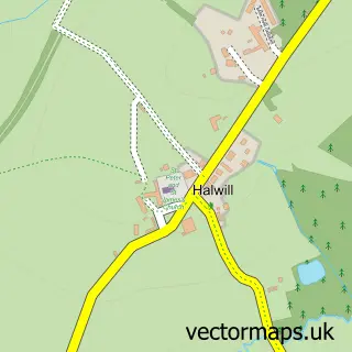
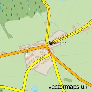
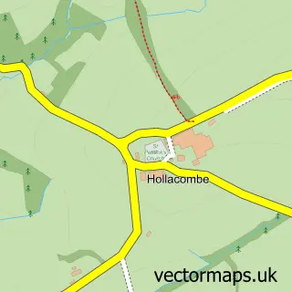
This Halwill Junction street map is a detailed vector street map covering a 750m x 750m area. Select a larger area to create and download your own vector street map of Halwill Junction.
The 750-metre map sample for Halwill Junction covers 169 mapped buildings and approximately 7.9 km of road detail, of which 10 named roads are named. The immediate area includes 1 school, 1 pub and 1 MOT station within 2 miles. The wider area around Halwill Junction features 1 food and drink venue. To create a larger or custom map of Halwill Junction, the map builder lets you define your own coverage area and download editable SVG, PDF and PNG files.
Create a larger editable map of Halwill Junction
Choose any area you need and generate a high-quality vector map instantly. Perfect for print, planning, design, business and personal use.

This Halwill Junction street map in Devon is available as downloadable SVG, PDF and PNG map files, or as a printed map for planning, business, display, education, local information and design work. You can also create a larger custom map area using the map selector.
What this Halwill Junction map sample shows
Halwill Junction lies within Halwill Cp parish, part of Broadheath ward in the Torridge District local authority area. The postcode geography for this area includes the EX postcode area, the EX21 postcode district and the EX21 5 postcode sector. Residents fall under the Nhs Devon Integrated Care Board for NHS services.
Local features near Halwill Junction
Within 2 milesAmenities and services in and around Halwill Junction.
Administrative and postcode information for Halwill Junction
Halwill Junction lies within Halwill Cp parish, part of Broadheath ward in the Torridge District local authority area. The postcode geography for this area includes the EX postcode area, the EX21 postcode district and the EX21 5 postcode sector. Residents fall under the Nhs Devon Integrated Care Board for NHS services.
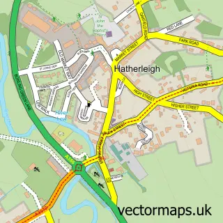
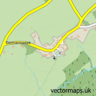
Nearby street map samples around Halwill Junction

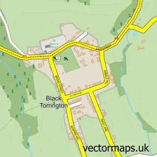
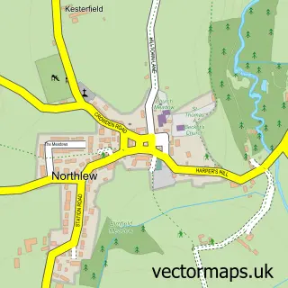
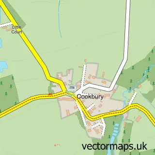
More street maps in Devon
750 metre map area coverage
Boundary, postcode and point of interest information for the 750m x 750m rectangle centred on this sample map.
Boundaries containing map centre
Constituency: Torridge and Tavistock Co Const
County: Devon County
District: Torridge District
Icb: NHS Devon ICB
Parish: Halwill CP
Police Force: devon and cornwall
Postcode District: EX21
Postcode Sector: EX21 5
Ward: Broadheath Ward
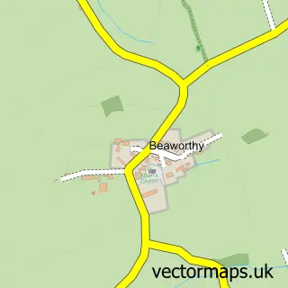
Nearby boundaries intersecting sample
District: West Devon District (B)
Parish: Beaworthy CP
Ward: Bridestowe Ward
Postcode coverage
POI category counts
Baptist Church: 1
Community Center: 1
Community Services Non Profits: 1
Financial Service: 1
Flowers And Gifts Shop: 1
Food Delivery Service: 1
Preschool: 1
Pub: 1
Shipping Center: 1
Town Hall: 1
Sample points of interest
- Halwill Baptist Church
- The Winsford Trust
- C P R E Devon
- Western Union
- Alicia Jane
- Evri ParcelShop
- Scallywags Preschool Halwill Junction
- Junction Inn
- Post Office
- Halwill Parish Hall
- Halwill Junction railway station
Create a larger editable map of Halwill Junction
This sample shows only a 750 metre area. To create a larger map of Halwill Junction, use our map builder to choose your own coverage area, add titles and download editable SVG, PDF and PNG files.
Create a custom map of Halwill Junction