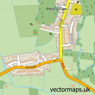
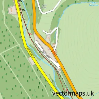
This Blackmill street map is a detailed vector street map covering a 750m x 750m area. Select a larger area to create and download your own vector street map of Blackmill.
The 750-metre map sample for Blackmill covers 108 mapped buildings and approximately 13.6 km of road detail, of which 6 named roads are named. The immediate area includes 1 GP surgery within 2 miles, 2 pubs and 1 MOT station, with 3 within 2 miles. The wider area around Blackmill features 4 food and drink venues. To create a larger or custom map of Blackmill, the map builder lets you define your own coverage area and download editable SVG, PDF and PNG files.
Create a larger editable map of Blackmill
Choose any area you need and generate a high-quality vector map instantly. Perfect for print, planning, design, business and personal use.

This Blackmill street map in Mid Glamorgan is available as downloadable SVG, PDF and PNG map files, or as a printed map for planning, business, display, education, local information and design work. You can also create a larger custom map area using the map selector.
What this Blackmill map sample shows
Blackmill lies within Ogmore Valley Community parish, part of Blackmill ward in the Pen-Y-Bont Ar Ogwr - Bridgend local authority area. The postcode geography for this area includes the CF postcode area, the CF35 postcode district and the CF35 6 postcode sector. Residents fall under the Swansea Bay University Local Health Board for NHS services.
Local features near Blackmill
Within 2 milesAmenities and services in and around Blackmill.
Administrative and postcode information for Blackmill
The local authority covering Blackmill is Pen-Y-Bont Ar Ogwr - Bridgend, within the county of Mid Glamorgan. The settlement lies within Blackmill ward and Ogmore Valley Community civil parish. The CF35 postcode district and CF35 6 postcode sector serve the immediate area. NHS provision in the area is delivered through Cwm Taf Morgannwg University Health Board.
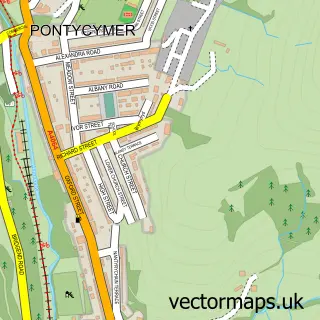
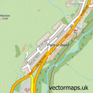
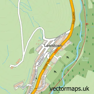
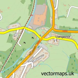
Nearby street map samples around Blackmill

More street maps in Mid Glamorgan
750 metre map area coverage
Boundary, postcode and point of interest information for the 750m x 750m rectangle centred on this sample map.
Boundaries containing map centre
Constituency: Rhondda and Ogmore Co Const
District: Pen-y-bont ar Ogwr - Bridgend
Icb: Abertawe Bro Morgannwg University
Parish: Ogmore Valley Community
Police Force: south wales
Postcode District: CF35
Postcode Sector: CF35 6
Nearby boundaries intersecting sample
No additional intersecting boundaries found.
Postcode coverage
POI category counts
Cafe: 2
Convenience Store: 2
Pub: 2
Bed And Breakfast: 1
Commercial Industrial: 1
Shipping Center: 1
Sports Club And League: 1
Sample points of interest
- Heron's Brook Bed and Breakfast
- Smithys Cafe
- The Black Mill Riverside Cafe
- Penllwyngwent Industrial Estate
- Londis
- Londis LONDIS BLACKMILL
- Fox & Hounds
- The Ogmore Junction
- Post Office
- Maesteg Rugby Football Club
Create a larger editable map of Blackmill
This sample shows only a 750 metre area. To create a larger map of Blackmill, use our map builder to choose your own coverage area, add titles and download editable SVG, PDF and PNG files.
Create a custom map of Blackmill