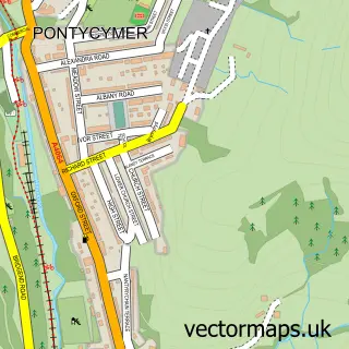
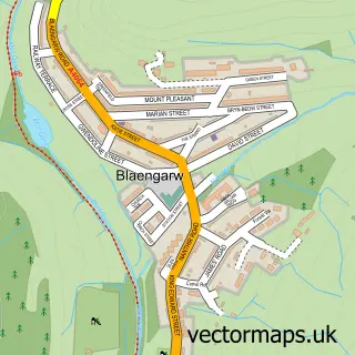
This Pont-y-rhyl street map is a detailed vector street map covering a 750m x 750m area. Select a larger area to create and download your own vector street map of Pont-y-rhyl.
The 750-metre map sample for Pont-y-rhyl covers 31 mapped buildings and approximately 7.4 km of road detail, of which 2 named roads are named. The immediate area includes 3 GP surgeries within 2 miles and 3 MOT stations within 2 miles. To create a larger or custom map of Pont-y-rhyl, the map builder lets you define your own coverage area and download editable SVG, PDF and PNG files.
Create a larger editable map of Pont-y-rhyl
Choose any area you need and generate a high-quality vector map instantly. Perfect for print, planning, design, business and personal use.

This Pont-y-rhyl street map in Mid Glamorgan is available as downloadable SVG, PDF and PNG map files, or as a printed map for planning, business, display, education, local information and design work. You can also create a larger custom map area using the map selector.
What this Pont-y-rhyl map sample shows
Pont-y-rhyl lies within Garw Valley Community parish, part of Llangeinor ward in the Pen-Y-Bont Ar Ogwr - Bridgend local authority area. The postcode geography for this area includes the CF postcode area, the CF32 postcode district and the CF32 8 postcode sector. Residents fall under the Swansea Bay University Local Health Board for NHS services.
Local features near Pont-y-rhyl
Within 2 milesAmenities and services in and around Pont-y-rhyl.
Administrative and postcode information for Pont-y-rhyl
Pont-y-rhyl lies within Garw Valley Community parish, part of Llangeinor ward in the Pen-Y-Bont Ar Ogwr - Bridgend local authority area. The postcode geography for this area includes the CF postcode area, the CF32 postcode district and the CF32 8 postcode sector. Residents fall under the Swansea Bay University Local Health Board for NHS services.
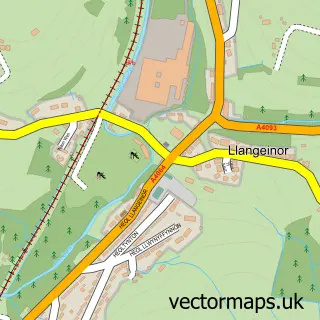
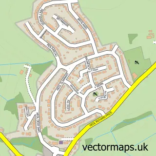
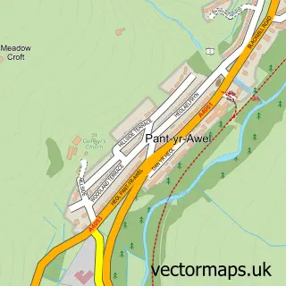
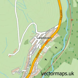
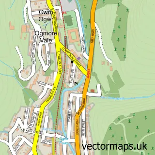
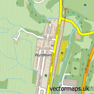
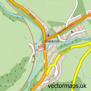
Nearby street map samples around Pont-y-rhyl

More street maps in Mid Glamorgan
750 metre map area coverage
Boundary, postcode and point of interest information for the 750m x 750m rectangle centred on this sample map.
Boundaries containing map centre
Constituency: Rhondda and Ogmore Co Const
District: Pen-y-bont ar Ogwr - Bridgend
Icb: Abertawe Bro Morgannwg University
Parish: Garw Valley Community
Police Force: south wales
Postcode District: CF32
Postcode Sector: CF32 8
Nearby boundaries intersecting sample
No additional intersecting boundaries found.
Postcode coverage
POI category counts
Gas Station: 3
Convenience Store: 1
Courier And Delivery Services: 1
Laundry Services: 1
Package Locker: 1
Shipping Center: 1
Sample points of interest
- Family Shopper
- Evri ParcelShop
- Gulf
- Pontyrhyl Filling Station
- Pontyrhyl Petrol Station & Shop
- Wash.ME - Gulf
- InPost
- Pontyrhyl Drop & Collect Post Office
Create a larger editable map of Pont-y-rhyl
This sample shows only a 750 metre area. To create a larger map of Pont-y-rhyl, use our map builder to choose your own coverage area, add titles and download editable SVG, PDF and PNG files.
Create a custom map of Pont-y-rhyl