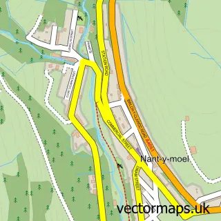
This Ogmore Vale street map is a detailed vector street map covering a 750m x 750m area. Select a larger area to create and download your own vector street map of Ogmore Vale.
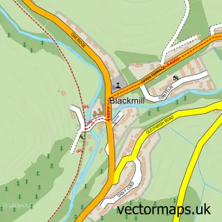
The 750-metre map sample for Ogmore Vale covers 204 mapped buildings and approximately 13.0 km of road detail, of which 28 named roads are named. The immediate area includes 1 GP surgery and 3 MOT stations within 2 miles. The wider area around Ogmore Vale features 2 food and drink venues. To create a larger or custom map of Ogmore Vale, the map builder lets you define your own coverage area and download editable SVG, PDF and PNG files.
Create a larger editable map of Ogmore Vale
Choose any area you need and generate a high-quality vector map instantly. Perfect for print, planning, design, business and personal use.

This Ogmore Vale street map in Mid Glamorgan is available as downloadable SVG, PDF and PNG map files, or as a printed map for planning, business, display, education, local information and design work. You can also create a larger custom map area using the map selector.
What this Ogmore Vale map sample shows
Ogmore Vale lies within Ogmore Valley Community parish, part of Ogmore Vale ward in the Pen-Y-Bont Ar Ogwr - Bridgend local authority area. The postcode geography for this area includes the CF postcode area, the CF32 postcode district and the CF32 7 postcode sector. Residents fall under the Swansea Bay University Local Health Board for NHS services.
Local features near Ogmore Vale
Within 2 milesAmenities and services in and around Ogmore Vale.
Administrative and postcode information for Ogmore Vale
Ogmore Vale lies within Ogmore Valley Community parish, part of Ogmore Vale ward in the Pen-Y-Bont Ar Ogwr - Bridgend local authority area. The postcode geography for this area includes the CF postcode area, the CF32 postcode district and the CF32 7 postcode sector. Residents fall under the Swansea Bay University Local Health Board for NHS services.
Nearby street map samples around Ogmore Vale
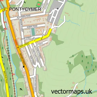

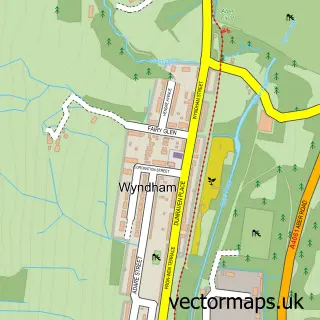
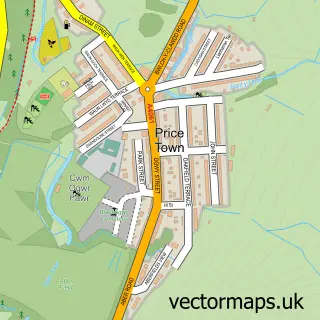
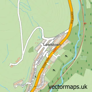
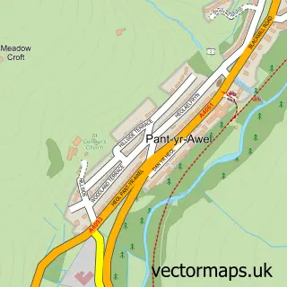
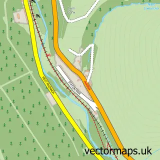
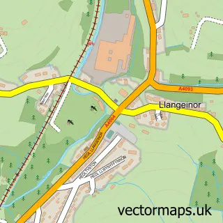
More street maps in Mid Glamorgan
750 metre map area coverage
Boundary, postcode and point of interest information for the 750m x 750m rectangle centred on this sample map.
Boundaries containing map centre
Constituency: Rhondda and Ogmore Co Const
District: Pen-y-bont ar Ogwr - Bridgend
Icb: Abertawe Bro Morgannwg University
Parish: Ogmore Valley Community
Police Force: south wales
Postcode District: CF32
Postcode Sector: CF32 7
Nearby boundaries intersecting sample
No additional intersecting boundaries found.
Postcode coverage
POI category counts
Convenience Store: 5
Barber: 2
Pet Groomer: 2
Social Service Organizations: 2
Tattoo And Piercing: 2
Appliance Repair Service: 1
Banks: 1
Baptist Church: 1
Bar: 1
Beauty And Spa: 1
Sample points of interest
- 0800 Repair Cardiff
- NatWest Mobile Branch
- Calvary Baptist Church
- Mackworth Arms
- Patricks Barbers
- Patricks barbers. www.patricksbarbers.co.uk
- Glam hair studio
- Ogmore Valley Dragons Boxing Club
- Mandys cafe
- Clack Discount Carpet and Furniture
- Ogmore Vale Welfare Hall
- Lifestyle Express
Create a larger editable map of Ogmore Vale
This sample shows only a 750 metre area. To create a larger map of Ogmore Vale, use our map builder to choose your own coverage area, add titles and download editable SVG, PDF and PNG files.
Create a custom map of Ogmore Vale