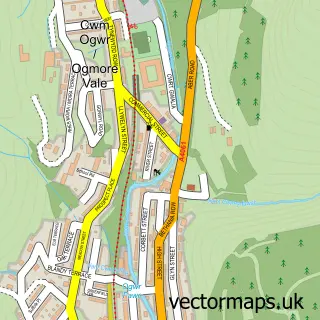
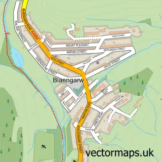
This Nant-y-moel street map is a detailed vector street map covering a 750m x 750m area. Select a larger area to create and download your own vector street map of Nant-y-moel.
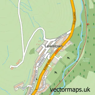
The 750-metre map sample for Nant-y-moel covers 109 mapped buildings and approximately 11.6 km of road detail, of which 8 named roads are named. The immediate area includes 1 GP surgery within 2 miles, 1 pub and 1 MOT station, with 2 within 2 miles. The wider area around Nant-y-moel features 1 tourism point of interest and 1 food and drink venue. To create a larger or custom map of Nant-y-moel, the map builder lets you define your own coverage area and download editable SVG, PDF and PNG files.
Create a larger editable map of Nant-y-moel
Choose any area you need and generate a high-quality vector map instantly. Perfect for print, planning, design, business and personal use.

This Nant-y-moel street map in Mid Glamorgan is available as downloadable SVG, PDF and PNG map files, or as a printed map for planning, business, display, education, local information and design work. You can also create a larger custom map area using the map selector.
What this Nant-y-moel map sample shows
Nant-y-moel lies within Ogmore Valley Community parish, part of Nant-Y-Moel ward in the Pen-Y-Bont Ar Ogwr - Bridgend local authority area. The postcode geography for this area includes the CF postcode area, the CF32 postcode district and the CF32 7 postcode sector. Residents fall under the Swansea Bay University Local Health Board for NHS services.
Local features near Nant-y-moel
Within 2 milesAmenities and services in and around Nant-y-moel.
Administrative and postcode information for Nant-y-moel
Nant-y-moel lies within Ogmore Valley Community parish, part of Nant-Y-Moel ward in the Pen-Y-Bont Ar Ogwr - Bridgend local authority area. The postcode geography for this area includes the CF postcode area, the CF32 postcode district and the CF32 7 postcode sector. Residents fall under the Swansea Bay University Local Health Board for NHS services.
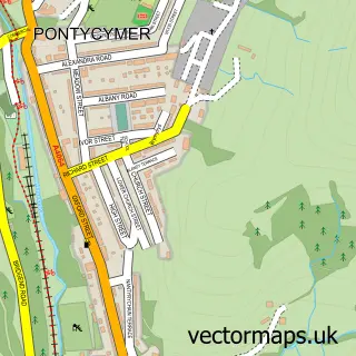
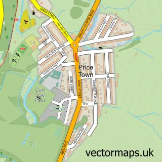
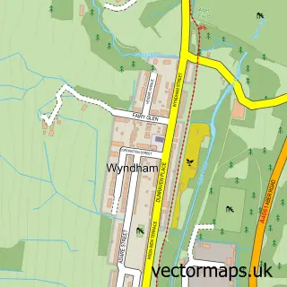
Nearby street map samples around Nant-y-moel

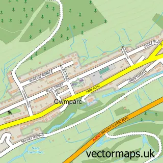
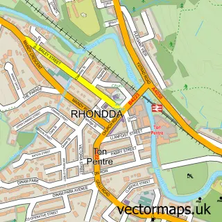
More street maps in Mid Glamorgan
750 metre map area coverage
Boundary, postcode and point of interest information for the 750m x 750m rectangle centred on this sample map.
Boundaries containing map centre
Constituency: Rhondda and Ogmore Co Const
District: Pen-y-bont ar Ogwr - Bridgend
Icb: Abertawe Bro Morgannwg University
Parish: Ogmore Valley Community
Police Force: south wales
Postcode District: CF32
Postcode Sector: CF32 7
Nearby boundaries intersecting sample
No additional intersecting boundaries found.
Postcode coverage
POI category counts
Convenience Store: 3
Asian Restaurant: 1
Automotive Repair: 1
Bar: 1
Dog Walkers: 1
Energy Company: 1
It Service And Computer Repair: 1
Kids Recreation And Party: 1
Landmark And Historical Building: 1
Pet Boarding: 1
Sample points of interest
- Ruchi
- Court Garage
- Nantymoel Hotel
- Londis
- Londis
- Spar
- Mutts Angels
- Connected Kerb Charging Station
- Jellymans Computers
- Ladbrokes
- A4061 road
- J C Dog Grooming & Kennels Services
Create a larger editable map of Nant-y-moel
This sample shows only a 750 metre area. To create a larger map of Nant-y-moel, use our map builder to choose your own coverage area, add titles and download editable SVG, PDF and PNG files.
Create a custom map of Nant-y-moel