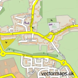
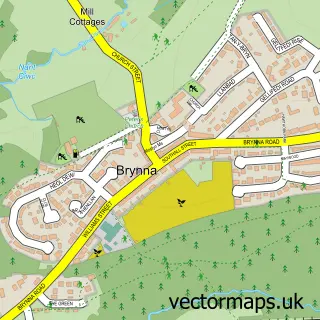
This Heol-y-cyw street map is a detailed vector street map covering a 750m x 750m area. Select a larger area to create and download your own vector street map of Heol-y-cyw.
The 750-metre map sample for Heol-y-cyw covers 180 mapped buildings and approximately 6.1 km of road detail, of which 8 named roads are named. The immediate area includes 1 pub and 5 MOT stations within 2 miles. The wider area around Heol-y-cyw features 1 food and drink venue. To create a larger or custom map of Heol-y-cyw, the map builder lets you define your own coverage area and download editable SVG, PDF and PNG files.
Create a larger editable map of Heol-y-cyw
Choose any area you need and generate a high-quality vector map instantly. Perfect for print, planning, design, business and personal use.

This Heol-y-cyw street map in Mid Glamorgan is available as downloadable SVG, PDF and PNG map files, or as a printed map for planning, business, display, education, local information and design work. You can also create a larger custom map area using the map selector.
What this Heol-y-cyw map sample shows
Heol-y-cyw lies within Coychurch Higher Community parish, part of Penprysg ward in the Pen-Y-Bont Ar Ogwr - Bridgend local authority area. The postcode geography for this area includes the CF postcode area, the CF35 postcode district and the CF35 6 postcode sector. Residents fall under the Swansea Bay University Local Health Board for NHS services.
Local features near Heol-y-cyw
Within 2 milesAmenities and services in and around Heol-y-cyw.
Administrative and postcode information for Heol-y-cyw
Heol-y-cyw lies within Coychurch Higher Community parish, part of Penprysg ward in the Pen-Y-Bont Ar Ogwr - Bridgend local authority area. The postcode geography for this area includes the CF postcode area, the CF35 postcode district and the CF35 6 postcode sector. Residents fall under the Swansea Bay University Local Health Board for NHS services.
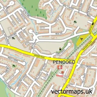
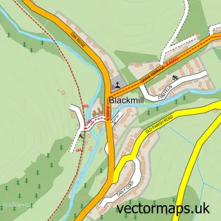
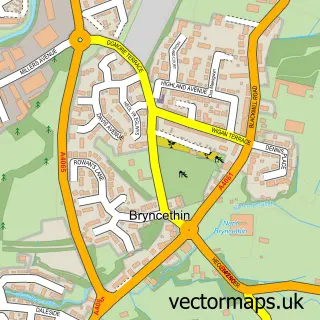
Nearby street map samples around Heol-y-cyw

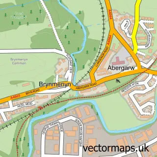
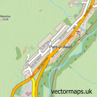
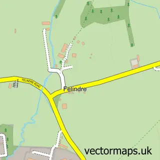
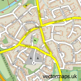
More street maps in Mid Glamorgan
750 metre map area coverage
Boundary, postcode and point of interest information for the 750m x 750m rectangle centred on this sample map.
Boundaries containing map centre
Constituency: Bridgend Co Const
District: Pen-y-bont ar Ogwr - Bridgend
Icb: Abertawe Bro Morgannwg University
Parish: Coychurch Higher Community
Police Force: south wales
Postcode District: CF35
Postcode Sector: CF35 6
Nearby boundaries intersecting sample
Parish: Pencoed Community, St. Bride's Minor Community
Postcode District: CF32
Postcode Sector: CF32 9
Postcode coverage
POI category counts
Sports Club And League: 2
Beauty Salon: 1
Clothing Store: 1
Elementary School: 1
Garbage Collection Service: 1
Nursery And Gardening: 1
Package Locker: 1
Playground: 1
Pub: 1
Public Transportation: 1
Sample points of interest
- Lip Enhancement South Wales
- Top Notch Hat Hire
- Heol Y Cyw Primary School
- Darlow Lloyd & Sons
- ADM Nurseries
- InPost
- Heol-y-Cyw play park
- The Plough Inn Heol-Y-Cyw
- Post Office-Heol-Y-Cyw
- Grooming K9s
- British Shooting Services
- Heol y Cyw Sports & Social Club
Create a larger editable map of Heol-y-cyw
This sample shows only a 750 metre area. To create a larger map of Heol-y-cyw, use our map builder to choose your own coverage area, add titles and download editable SVG, PDF and PNG files.
Create a custom map of Heol-y-cyw