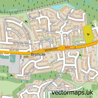
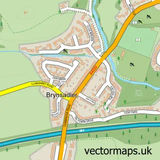
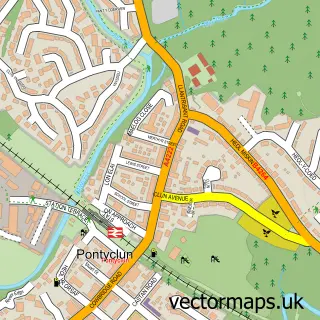
This Brynna street map is a detailed vector street map covering a 750m x 750m area. Select a larger area to create and download your own vector street map of Brynna.
The 750-metre map sample for Brynna covers 309 mapped buildings and approximately 14.4 km of road detail, of which 18 named roads are named. The immediate area includes 1 school, 1 GP surgery within 2 miles, 1 pub and 3 MOT stations within 2 miles. The wider area around Brynna features 1 tourism point of interest and 1 food and drink venue. To create a larger or custom map of Brynna, the map builder lets you define your own coverage area and download editable SVG, PDF and PNG files.
Create a larger editable map of Brynna
Choose any area you need and generate a high-quality vector map instantly. Perfect for print, planning, design, business and personal use.

This Brynna street map in Mid Glamorgan is available as downloadable SVG, PDF and PNG map files, or as a printed map for planning, business, display, education, local information and design work. You can also create a larger custom map area using the map selector.
What this Brynna map sample shows
Brynna lies within Llanharan Community parish, part of Brynna ward in the Rhondda Cynon Taf - Rhondda Cynon Taf local authority area. The postcode geography for this area includes the CF postcode area, the CF72 postcode district and the CF72 9 postcode sector. Residents fall under the Cwm Taf University Health Board for NHS services.
Local features near Brynna
Within 2 milesAmenities and services in and around Brynna.
Administrative and postcode information for Brynna
The local authority covering Brynna is Rhondda Cynon Taf - Rhondda Cynon Taf, within the county of Mid Glamorgan. The settlement lies within Brynna ward and Llanharan Community civil parish. The CF72 postcode district and CF72 9 postcode sector serve the immediate area. NHS provision in the area is delivered through Cwm Taf Morgannwg University Health Board.
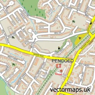
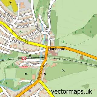
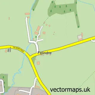
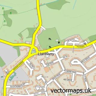
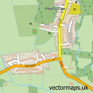
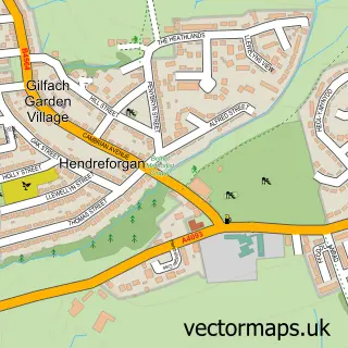
Nearby street map samples around Brynna

More street maps in Mid Glamorgan
750 metre map area coverage
Boundary, postcode and point of interest information for the 750m x 750m rectangle centred on this sample map.
Boundaries containing map centre
Constituency: Pontypridd Co Const
District: Rhondda Cynon Taf - Rhondda Cynon Taf
Icb: Cwm Taf University
Parish: Llanharan Community
Police Force: south wales
Postcode District: CF72
Postcode Sector: CF72 9
Nearby boundaries intersecting sample
Constituency: Bridgend Co Const
District: Pen-y-bont ar Ogwr - Bridgend
Icb: Abertawe Bro Morgannwg University
Parish: Coychurch Higher Community
Postcode District: CF35
Postcode Sector: CF35 6
Postcode coverage
POI category counts
Convenience Store: 4
Fish And Chips Restaurant: 2
Active Life: 1
Animal Shelter: 1
Business Management Services: 1
Butcher Shop: 1
Campground: 1
Cleaning Services: 1
Community Center: 1
Construction Services: 1
Sample points of interest
- Milestone Activities
- Cats Protection - Bridgend Adoption Centre
- Css Electrical Ltd.
- Alan John Butchers
- Gwern Gof Isaf Campsite & Bunkhouse
- Four Seasons Cleaning Company
- Brynna Community Centre
- Millstone Contruction
- Morrisons Daily
- Premier
- Spar
- Topp Shop
Create a larger editable map of Brynna
This sample shows only a 750 metre area. To create a larger map of Brynna, use our map builder to choose your own coverage area, add titles and download editable SVG, PDF and PNG files.
Create a custom map of Brynna