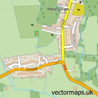
This Llanilid street map is a detailed vector street map covering a 750m x 750m area. Select a larger area to create and download your own vector street map of Llanilid.
The 750-metre map sample for Llanilid covers 31 mapped buildings and approximately 4.4 km of road detail, of which 2 named roads are named. The immediate area includes 1 MOT station, with 5 within 2 miles. The wider area around Llanilid features 3 hotels. To create a larger or custom map of Llanilid, the map builder lets you define your own coverage area and download editable SVG, PDF and PNG files.
Create a larger editable map of Llanilid
Choose any area you need and generate a high-quality vector map instantly. Perfect for print, planning, design, business and personal use.

This Llanilid street map in Mid Glamorgan is available as downloadable SVG, PDF and PNG map files, or as a printed map for planning, business, display, education, local information and design work. You can also create a larger custom map area using the map selector.
What this Llanilid map sample shows
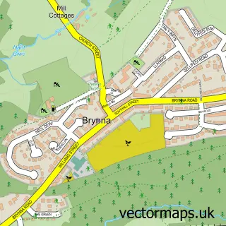
Llanilid lies within Llanharan Community parish, part of Brynna ward in the Rhondda Cynon Taf - Rhondda Cynon Taf local authority area. The postcode geography for this area includes the CF postcode area, the CF35 postcode district and the CF35 5 postcode sector. Residents fall under the Cwm Taf University Health Board for NHS services.
Local features near Llanilid
Within 2 milesAmenities and services in and around Llanilid.
Administrative and postcode information for Llanilid
The local authority covering Llanilid is Rhondda Cynon Taf - Rhondda Cynon Taf, within the county of Mid Glamorgan. The settlement lies within Brynna ward and Llanharan Community civil parish. The CF35 postcode district and CF35 5 postcode sector serve the immediate area. NHS provision in the area is delivered through Cwm Taf Morgannwg University Health Board.
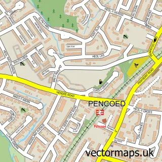
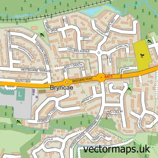
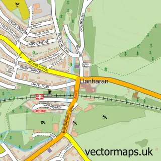
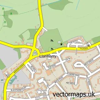
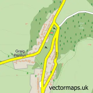
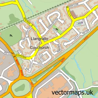
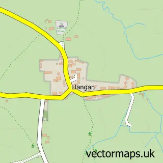
Nearby street map samples around Llanilid

More street maps in Mid Glamorgan
750 metre map area coverage
Boundary, postcode and point of interest information for the 750m x 750m rectangle centred on this sample map.
Boundaries containing map centre
Constituency: Pontypridd Co Const
District: Rhondda Cynon Taf - Rhondda Cynon Taf
Icb: Cwm Taf University
Parish: Llanharan Community
Police Force: south wales
Postcode District: CF35
Postcode Sector: CF35 5
Nearby boundaries intersecting sample
Constituency: Bridgend Co Const
District: Pen-y-bont ar Ogwr - Bridgend
Icb: Abertawe Bro Morgannwg University
Parish: Pencoed Community
Postcode coverage
POI category counts
British Restaurant: 3
Hotel: 3
Farm: 1
Nursery And Gardening: 1
Sample points of interest
- Harvester Old Mill
- Old Mill Harvester
- The Old Mill
- Dexters Felindre Mill
- Travelodge
- Travelodge Bridgend Pencoed
- Travelodge Hotel - Bridgend Pencoed
- Pencoed Growers
Create a larger editable map of Llanilid
This sample shows only a 750 metre area. To create a larger map of Llanilid, use our map builder to choose your own coverage area, add titles and download editable SVG, PDF and PNG files.
Create a custom map of Llanilid