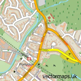
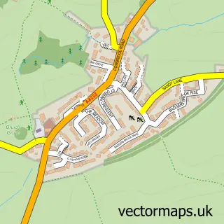
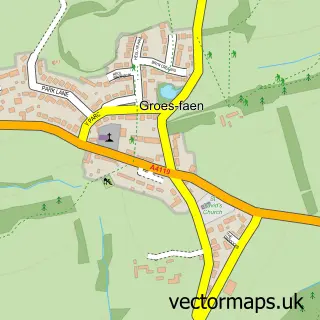
This Brynsadler street map is a detailed vector street map covering a 750m x 750m area. Select a larger area to create and download your own vector street map of Brynsadler.
The 750-metre map sample for Brynsadler covers 220 mapped buildings and approximately 13.5 km of road detail, of which 15 named roads are named. The immediate area includes 1 GP surgery within 2 miles, 3 pubs and 1 MOT station, with 8 within 2 miles. The wider area around Brynsadler features 2 tourism points of interest and 4 food and drink venues. To create a larger or custom map of Brynsadler, the map builder lets you define your own coverage area and download editable SVG, PDF and PNG files.
Create a larger editable map of Brynsadler
Choose any area you need and generate a high-quality vector map instantly. Perfect for print, planning, design, business and personal use.

This Brynsadler street map in Mid Glamorgan is available as downloadable SVG, PDF and PNG map files, or as a printed map for planning, business, display, education, local information and design work. You can also create a larger custom map area using the map selector.
What this Brynsadler map sample shows
Brynsadler lies within Pont-Y-Clun Community parish, part of Pont-Y-Clun ward in the Rhondda Cynon Taf - Rhondda Cynon Taf local authority area. The postcode geography for this area includes the CF postcode area, the CF72 postcode district and the CF72 9 postcode sector. Residents fall under the Cwm Taf University Health Board for NHS services.
Local features near Brynsadler
Within 2 milesAmenities and services in and around Brynsadler.
Administrative and postcode information for Brynsadler
The local authority covering Brynsadler is Rhondda Cynon Taf - Rhondda Cynon Taf, within the county of Mid Glamorgan. The settlement lies within Pont-Y-Clun ward and Pont-Y-Clun Community civil parish. The CF72 postcode district and CF72 9 postcode sector serve the immediate area. NHS provision in the area is delivered through Cwm Taf Morgannwg University Health Board.
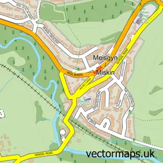
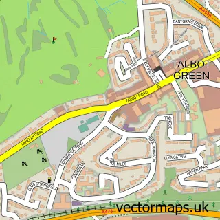
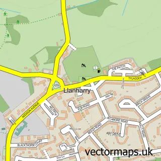
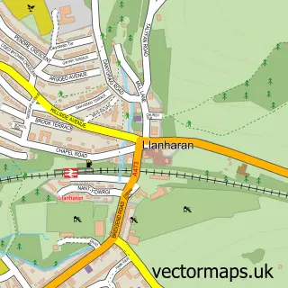
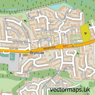
Nearby street map samples around Brynsadler

More street maps in Mid Glamorgan
750 metre map area coverage
Boundary, postcode and point of interest information for the 750m x 750m rectangle centred on this sample map.
Boundaries containing map centre
Constituency: Cardiff West Boro Const
District: Rhondda Cynon Taf - Rhondda Cynon Taf
Icb: Cwm Taf University
Parish: Pont-y-clun Community
Police Force: south wales
Postcode District: CF72
Postcode Sector: CF72 9
Nearby boundaries intersecting sample
Constituency: Pontypridd Co Const
Parish: Llanharry Community
Postcode coverage
POI category counts
Pub: 3
Automotive Repair: 2
Building Supply Store: 2
Hvac Supplier: 2
Park: 2
Professional Services: 2
Advertising Agency: 1
Amateur Sports Team: 1
Atms: 1
Banks: 1
Sample points of interest
- Lagrafica
- Pontyclun Football Club
- The Cooperative Food (BF) Pontyclun - Cowbridge Road, Brynsadler
- Automaster
- M B Motors
- Western Union
- Y Draenog
- Dean Price Barbering
- Kudos Hairdressing Salon
- Medmunch
- Pontyclun & Vale Builders Ltd
- Williams Kevin
Create a larger editable map of Brynsadler
This sample shows only a 750 metre area. To create a larger map of Brynsadler, use our map builder to choose your own coverage area, add titles and download editable SVG, PDF and PNG files.
Create a custom map of Brynsadler