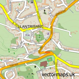
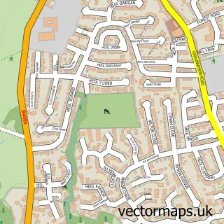
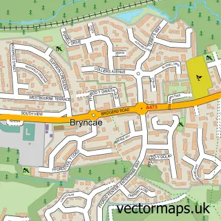
This Talbot Green street map is a detailed vector street map covering a 750m x 750m area. Select a larger area to create and download your own vector street map of Talbot Green.
The 750-metre map sample for Talbot Green covers 299 mapped buildings and approximately 14.1 km of road detail, of which 18 named roads are named. The immediate area includes 1 school, 2 GP surgeries within 2 miles, 1 pub and 1 MOT station, with 12 within 2 miles. The wider area around Talbot Green features 1 tourism point of interest and 6 food and drink venues. To create a larger or custom map of Talbot Green, the map builder lets you define your own coverage area and download editable SVG, PDF and PNG files.
Create a larger editable map of Talbot Green
Choose any area you need and generate a high-quality vector map instantly. Perfect for print, planning, design, business and personal use.

This Talbot Green street map in Mid Glamorgan is available as downloadable SVG, PDF and PNG map files, or as a printed map for planning, business, display, education, local information and design work. You can also create a larger custom map area using the map selector.
What this Talbot Green map sample shows
Talbot Green lies within Llantrisant Community parish, part of Talbot Green ward in the Rhondda Cynon Taf - Rhondda Cynon Taf local authority area. The postcode geography for this area includes the CF postcode area, the CF72 postcode district and the CF72 8 postcode sector. Residents fall under the Cwm Taf University Health Board for NHS services.
Local features near Talbot Green
Within 2 milesAmenities and services in and around Talbot Green.
Administrative and postcode information for Talbot Green
The local authority covering Talbot Green is Rhondda Cynon Taf - Rhondda Cynon Taf, within the county of Mid Glamorgan. The settlement lies within Talbot Green ward and Llantrisant Community civil parish. The CF72 postcode district and CF72 8 postcode sector serve the immediate area. NHS provision in the area is delivered through Cwm Taf Morgannwg University Health Board.
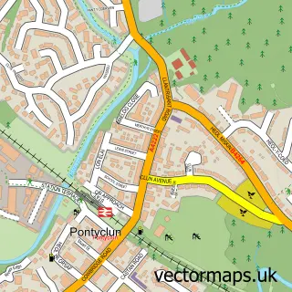
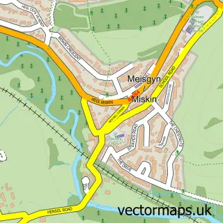
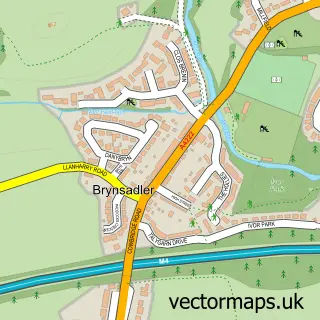
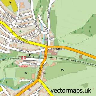
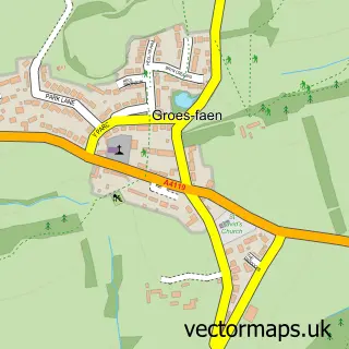
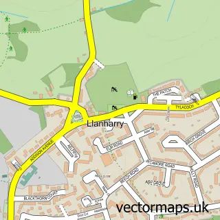
Nearby street map samples around Talbot Green

More street maps in Mid Glamorgan
750 metre map area coverage
Boundary, postcode and point of interest information for the 750m x 750m rectangle centred on this sample map.
Boundaries containing map centre
Constituency: Pontypridd Co Const
District: Rhondda Cynon Taf - Rhondda Cynon Taf
Icb: Cwm Taf University
Parish: Llantrisant Community
Police Force: south wales
Postcode District: CF72
Postcode Sector: CF72 8
Nearby boundaries intersecting sample
No additional intersecting boundaries found.
Postcode coverage
POI category counts
Beauty Salon: 9
Hair Salon: 9
Real Estate Agent: 5
Travel Services: 5
Banks: 4
Flowers And Gifts Shop: 4
Real Estate: 4
Bank Credit Union: 3
Barber: 3
Beauty And Spa: 3
Sample points of interest
- The Bookkeeping Hub
- Cancer Research UK
- Robert Rogers Architect
- Rr Architects Ltd.
- Cranberry Card Company
- Ty Heulog Extra Care
- DG Weaver Talbot Green
- K D Tyres
- Greggs
- Barclays Local
- Lloyds Bank
- NatWest
Create a larger editable map of Talbot Green
This sample shows only a 750 metre area. To create a larger map of Talbot Green, use our map builder to choose your own coverage area, add titles and download editable SVG, PDF and PNG files.
Create a custom map of Talbot Green