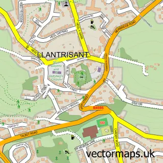
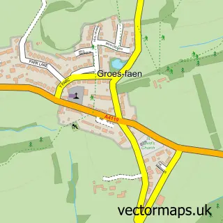
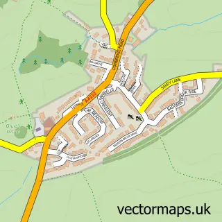
This Miskin street map is a detailed vector street map covering a 750m x 750m area. Select a larger area to create and download your own vector street map of Miskin.
The 750-metre map sample for Miskin covers 221 mapped buildings and approximately 11.6 km of road detail, of which 15 named roads are named. The immediate area includes 1 pub and 10 MOT stations within 2 miles. The wider area around Miskin features 1 food and drink venue and 1 hotel. To create a larger or custom map of Miskin, the map builder lets you define your own coverage area and download editable SVG, PDF and PNG files.
Create a larger editable map of Miskin
Choose any area you need and generate a high-quality vector map instantly. Perfect for print, planning, design, business and personal use.

This Miskin street map in Mid Glamorgan is available as downloadable SVG, PDF and PNG map files, or as a printed map for planning, business, display, education, local information and design work. You can also create a larger custom map area using the map selector.
What this Miskin map sample shows
Miskin lies within Pont-Y-Clun Community parish, part of Pont-Y-Clun ward in the Rhondda Cynon Taf - Rhondda Cynon Taf local authority area. The postcode geography for this area includes the CF postcode area, the CF72 postcode district and the CF72 8 postcode sector. Residents fall under the Cwm Taf University Health Board for NHS services.
Local features near Miskin
Within 2 milesAmenities and services in and around Miskin.
Administrative and postcode information for Miskin
The local authority covering Miskin is Rhondda Cynon Taf - Rhondda Cynon Taf, within the county of Mid Glamorgan. The settlement lies within Pont-Y-Clun ward and Pont-Y-Clun Community civil parish. The CF72 postcode district and CF72 8 postcode sector serve the immediate area. NHS provision in the area is delivered through Cwm Taf Morgannwg University Health Board.
Nearby street map samples around Miskin

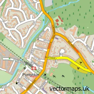
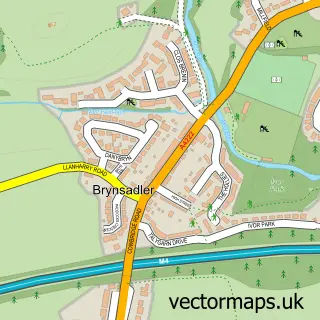
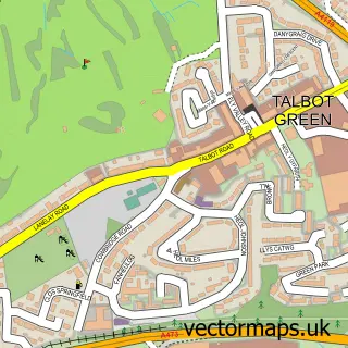
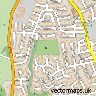
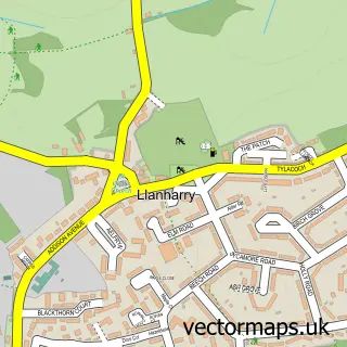
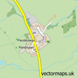
More street maps in Mid Glamorgan
750 metre map area coverage
Boundary, postcode and point of interest information for the 750m x 750m rectangle centred on this sample map.
Boundaries containing map centre
Constituency: Cardiff West Boro Const
District: Rhondda Cynon Taf - Rhondda Cynon Taf
Icb: Cwm Taf University
Parish: Pont-y-clun Community
Police Force: south wales
Postcode District: CF72
Postcode Sector: CF72 8
Nearby boundaries intersecting sample
No additional intersecting boundaries found.
Postcode coverage
POI category counts
Scout Hall: 2
Anglican Church: 1
Automotive: 1
Bicycle Shop: 1
Catholic Church: 1
Church Cathedral: 1
Convenience Store: 1
Elementary School: 1
Event Planning: 1
Gas Station: 1
Sample points of interest
- St Davids Church
- Cannon Camper Conversions
- The Bike Mechanic
- All Hallows Catholic Church
- St David
- Nisa Local School Rd
- Nature's Little Adventures Forest School
- Llanerch Weddings
- Texaco
- Restaurant at Miskin Manor Country Hotel
- Heights Legal LTD
- Rhondda Cynon Taff Council
Create a larger editable map of Miskin
This sample shows only a 750 metre area. To create a larger map of Miskin, use our map builder to choose your own coverage area, add titles and download editable SVG, PDF and PNG files.
Create a custom map of Miskin