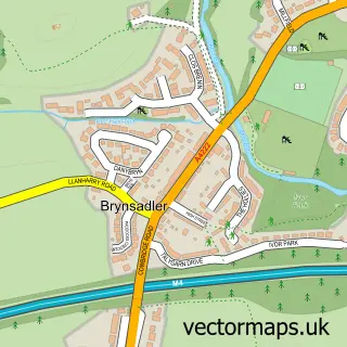
This Ystradowen street map is a detailed vector street map covering a 750m x 750m area. Select a larger area to create and download your own vector street map of Ystradowen.
The 750-metre map sample for Ystradowen covers 179 mapped buildings and approximately 9.5 km of road detail, of which 15 named roads are named. The immediate area includes 1 GP surgery within 2 miles, 1 pub and 1 MOT station. The wider area around Ystradowen features 1 tourism point of interest and 1 food and drink venue. To create a larger or custom map of Ystradowen, the map builder lets you define your own coverage area and download editable SVG, PDF and PNG files.
Create a larger editable map of Ystradowen
Choose any area you need and generate a high-quality vector map instantly. Perfect for print, planning, design, business and personal use.

This Ystradowen street map in South Glamorgan is available as downloadable SVG, PDF and PNG map files, or as a printed map for planning, business, display, education, local information and design work. You can also create a larger custom map area using the map selector.
What this Ystradowen map sample shows
Ystradowen lies within Penllyn Community parish, part of Cowbridge ward in the Bro Morgannwg - The Vale Of Glamorgan local authority area. The postcode geography for this area includes the CF postcode area, the CF71 postcode district and the CF71 7 postcode sector. Residents fall under the Cardiff And Vale University Health Board for NHS services.
Local features near Ystradowen
Within 2 milesAmenities and services in and around Ystradowen.
Administrative and postcode information for Ystradowen
The local authority covering Ystradowen is Bro Morgannwg - The Vale Of Glamorgan, within the county of South Glamorgan. The settlement lies within Cowbridge ward and Penllyn Community civil parish. The CF71 postcode district and CF71 7 postcode sector serve the immediate area. NHS provision in the area is delivered through Cardiff And Vale University Health Board.
Nearby street map samples around Ystradowen
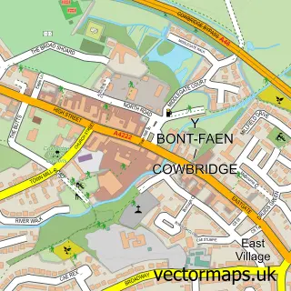

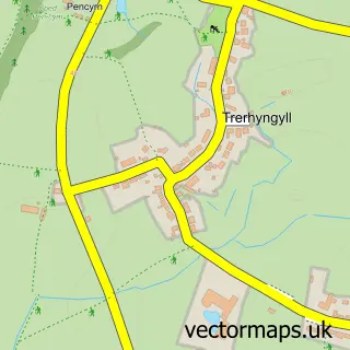

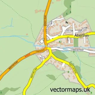
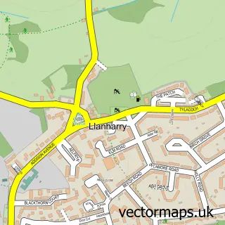
More street maps in South Glamorgan
750 metre map area coverage
Boundary, postcode and point of interest information for the 750m x 750m rectangle centred on this sample map.
Boundaries containing map centre
Constituency: Vale of Glamorgan Co Const
District: Bro Morgannwg - the Vale of Glamorgan
Icb: Cardiff and Vale University
Parish: Penllyn Community
Police Force: south wales
Postcode District: CF71
Postcode Sector: CF71 7
Nearby boundaries intersecting sample
Parish: Welsh St. Donats Community
Postcode coverage
POI category counts
Bar: 3
Automotive Repair: 1
Bathroom Remodeling: 1
Castle: 1
Community Center: 1
Education: 1
Financial Advising: 1
Package Locker: 1
Pub: 1
Train Station: 1
Sample points of interest
- Tudor Garage
- The White Lion at Yscradowen
- Thewhitelioncowbridge
- White Lion At Ystradowen
- The Bathroom Emporium
- Ystradowen Motte
- Ystradowen Village Hall
- Stagecoach Theatre Arts
- Financial Management Services
- InPost
- The Farmers Arms
- Ystradowen railway station
Create a larger editable map of Ystradowen
This sample shows only a 750 metre area. To create a larger map of Ystradowen, use our map builder to choose your own coverage area, add titles and download editable SVG, PDF and PNG files.
Create a custom map of Ystradowen