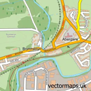
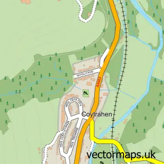
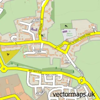
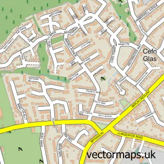
This Sarn street map is a detailed vector street map covering a 750m x 750m area. Select a larger area to create and download your own vector street map of Sarn.
The 750-metre map sample for Sarn covers 569 mapped buildings and approximately 20.7 km of road detail, of which 42 named roads are named. The immediate area includes 2 GP surgeries within 2 miles and 15 MOT stations within 2 miles. The wider area around Sarn features 1 tourism point of interest, 5 food and drink venues and 3 hotels. To create a larger or custom map of Sarn, the map builder lets you define your own coverage area and download editable SVG, PDF and PNG files.
Create a larger editable map of Sarn
Choose any area you need and generate a high-quality vector map instantly. Perfect for print, planning, design, business and personal use.

This Sarn street map in Mid Glamorgan is available as downloadable SVG, PDF and PNG map files, or as a printed map for planning, business, display, education, local information and design work. You can also create a larger custom map area using the map selector.
What this Sarn map sample shows
Sarn lies within St. Bride's Minor Community parish, part of Bryncoch ward in the Pen-Y-Bont Ar Ogwr - Bridgend local authority area. The postcode geography for this area includes the CF postcode area, the CF32 postcode district and the CF32 9 postcode sector. Residents fall under the Swansea Bay University Local Health Board for NHS services.
Local features near Sarn
Within 2 milesAmenities and services in and around Sarn.
Administrative and postcode information for Sarn
The local authority covering Sarn is Pen-Y-Bont Ar Ogwr - Bridgend, within the county of Mid Glamorgan. The settlement lies within Bryncoch ward and St. Bride's Minor Community civil parish. The CF32 postcode district and CF32 9 postcode sector serve the immediate area. NHS provision in the area is delivered through Cwm Taf Morgannwg University Health Board.
Nearby street map samples around Sarn
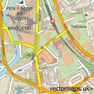

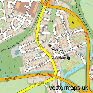
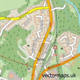
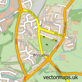

More street maps in Mid Glamorgan
750 metre map area coverage
Boundary, postcode and point of interest information for the 750m x 750m rectangle centred on this sample map.
Boundaries containing map centre
Constituency: Bridgend Co Const
District: Pen-y-bont ar Ogwr - Bridgend
Icb: Abertawe Bro Morgannwg University
Parish: St. Bride's Minor Community
Police Force: south wales
Postcode District: CF32
Postcode Sector: CF32 9
Nearby boundaries intersecting sample
Parish: Ynysawdre Community
Postcode coverage
POI category counts
Atms: 3
Coffee Shop: 3
Hotel: 3
Business Management Services: 2
Convenience Store: 2
Dentist: 2
Doctor: 2
Driving School: 2
Pet Groomer: 2
Supermarket: 2
Sample points of interest
- South Wales Accountancy & Taxation Ltd.
- PayPoint
- Sarn Park Amenity (Welcome Break), Sarn
- Sarn Park Forecourt (Welcome Break), Sarn Park
- Naturally Kind Food
- Soda Bar Cardiff
- Ladbrokes
- Have You Got It Covered
- Post Office-Sarn
- Sarn Post Office
- Paula’s Cafe | Bridgend
- LT Roofing And Maintenance
Create a larger editable map of Sarn
This sample shows only a 750 metre area. To create a larger map of Sarn, use our map builder to choose your own coverage area, add titles and download editable SVG, PDF and PNG files.
Create a custom map of Sarn