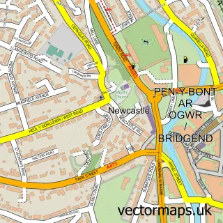
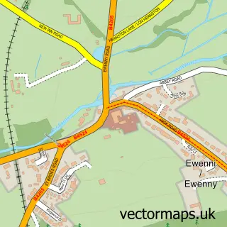
This Bridgend street map is a detailed vector street map covering a 750m x 750m area. Select a larger area to create and download your own vector street map of Bridgend.
The 750-metre map sample for Bridgend covers 270 mapped buildings and approximately 22.4 km of road detail, of which 52 named roads are named. The immediate area includes 1 railway station, 14 pubs and 3 MOT stations, with 30 within 2 miles. The wider area around Bridgend features 2 tourism points of interest, 42 food and drink venues and 3 hotels. To create a larger or custom map of Bridgend, the map builder lets you define your own coverage area and download editable SVG, PDF and PNG files.
Create a larger editable map of Bridgend
Choose any area you need and generate a high-quality vector map instantly. Perfect for print, planning, design, business and personal use.

This Bridgend street map in Mid Glamorgan is available as downloadable SVG, PDF and PNG map files, or as a printed map for planning, business, display, education, local information and design work. You can also create a larger custom map area using the map selector.
What this Bridgend map sample shows
Bridgend lies within Bridgend Community parish, part of Morfa ward in the Pen-Y-Bont Ar Ogwr - Bridgend local authority area. The postcode geography for this area includes the CF postcode area, the CF31 postcode district and the CF31 1 postcode sector. Residents fall under the Swansea Bay University Local Health Board for NHS services.
Local features near Bridgend
Within 2 milesAmenities and services in and around Bridgend.
Administrative and postcode information for Bridgend
The local authority covering Bridgend is Pen-Y-Bont Ar Ogwr - Bridgend, within the county of Mid Glamorgan. The settlement lies within Morfa ward and Bridgend Community civil parish. The CF31 postcode district and CF31 1 postcode sector serve the immediate area. NHS provision in the area is delivered through Cwm Taf Morgannwg University Health Board.
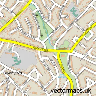
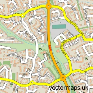
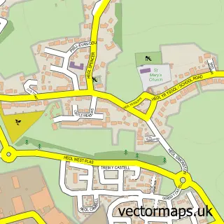
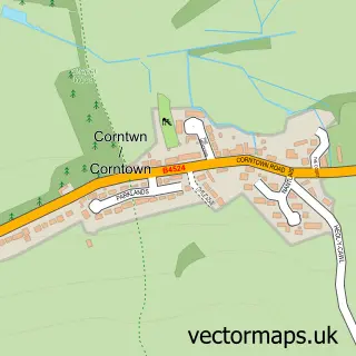
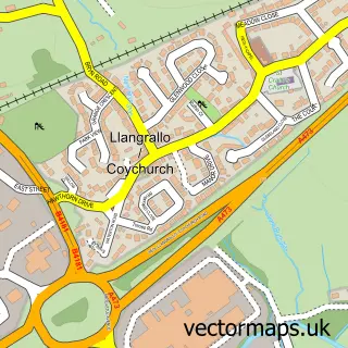
Nearby street map samples around Bridgend

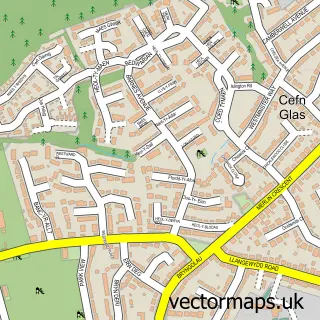

More street maps in Mid Glamorgan
750 metre map area coverage
Boundary, postcode and point of interest information for the 750m x 750m rectangle centred on this sample map.
Boundaries containing map centre
Constituency: Bridgend Co Const
District: Pen-y-bont ar Ogwr - Bridgend
Icb: Abertawe Bro Morgannwg University
Parish: Bridgend Community
Police Force: south wales
Postcode District: CF31
Postcode Sector: CF31 1
Nearby boundaries intersecting sample
Parish: Brackla Community
Postcode Sector: CF31 3, CF31 4
Postcode coverage
POI category counts
Hair Salon: 20
Charity Organization: 14
Pub: 14
Beauty Salon: 13
Clothing Store: 13
Professional Services: 13
Barber: 11
Fast Food Restaurant: 11
Bakery: 10
Beauty And Spa: 10
Sample points of interest
- Directnet Accounting
- Graham Paul Chartered Accountants
- TCM Healthcare Centres
- ACT Training
- Bridgend Osteopath and Naturopath
- Paula Jackson
- Wales Air Ambulance Charity
- Nolton Church
- Parish Of Coity, Nolton and Brackla
- St Mary's Nolton
- Antique’s Etc & vintage-by Emanuel.
- Bridgend Antiques
Create a larger editable map of Bridgend
This sample shows only a 750 metre area. To create a larger map of Bridgend, use our map builder to choose your own coverage area, add titles and download editable SVG, PDF and PNG files.
Create a custom map of Bridgend