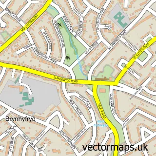
This Coity street map is a detailed vector street map covering a 750m x 750m area. Select a larger area to create and download your own vector street map of Coity.
The 750-metre map sample for Coity covers 334 mapped buildings and approximately 12.5 km of road detail, of which 25 named roads are named. The immediate area includes 1 school, 1 pub and 30 MOT stations within 2 miles. The wider area around Coity features 1 food and drink venue. To create a larger or custom map of Coity, the map builder lets you define your own coverage area and download editable SVG, PDF and PNG files.
Create a larger editable map of Coity
Choose any area you need and generate a high-quality vector map instantly. Perfect for print, planning, design, business and personal use.

This Coity street map in Mid Glamorgan is available as downloadable SVG, PDF and PNG map files, or as a printed map for planning, business, display, education, local information and design work. You can also create a larger custom map area using the map selector.
What this Coity map sample shows
Coity lies within Coity Higher Community parish, part of Coity ward in the Pen-Y-Bont Ar Ogwr - Bridgend local authority area. The postcode geography for this area includes the CF postcode area, the CF35 postcode district and the CF35 6 postcode sector. Residents fall under the Swansea Bay University Local Health Board for NHS services.
Local features near Coity
Within 2 milesAmenities and services in and around Coity.
Administrative and postcode information for Coity
The local authority covering Coity is Pen-Y-Bont Ar Ogwr - Bridgend, within the county of Mid Glamorgan. The settlement lies within Coity ward and Coity Higher Community civil parish. The CF35 postcode district and CF35 6 postcode sector serve the immediate area. NHS provision in the area is delivered through Cwm Taf Morgannwg University Health Board.
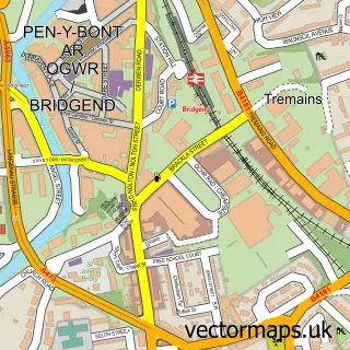
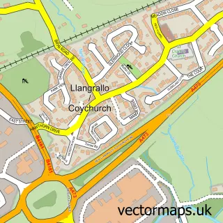
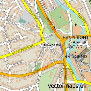
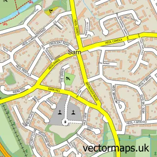
Nearby street map samples around Coity


More street maps in Mid Glamorgan
750 metre map area coverage
Boundary, postcode and point of interest information for the 750m x 750m rectangle centred on this sample map.
Boundaries containing map centre
Constituency: Bridgend Co Const
District: Pen-y-bont ar Ogwr - Bridgend
Icb: Abertawe Bro Morgannwg University
Parish: Coity Higher Community
Police Force: south wales
Postcode District: CF35
Postcode Sector: CF35 6
Nearby boundaries intersecting sample
Parish: Brackla Community
Postcode District: CF31
Postcode Sector: CF31 2
Postcode coverage
POI category counts
Church Cathedral: 4
Elementary School: 2
Kids Recreation And Party: 2
Post Office: 2
Automotive: 1
Automotive Repair: 1
Business Manufacturing And Supply: 1
Day Care Preschool: 1
Dog Walkers: 1
Event Planning: 1
Sample points of interest
- M B Specialists Ltd.
- Thomas Brothers Coity
- Geleta doors
- Cornerstone AG Church
- St Mary Church in Wales
- St Mary's Church
- St Mary's Church, Bridgend
- Banana Moon Day Nursery
- The Woof Pack Dog Walking Service
- Coety Primary School
- Coety Primary School
- Centregreat Ltd Group
Create a larger editable map of Coity
This sample shows only a 750 metre area. To create a larger map of Coity, use our map builder to choose your own coverage area, add titles and download editable SVG, PDF and PNG files.
Create a custom map of Coity