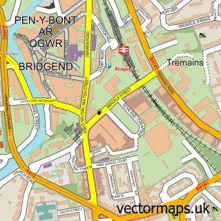
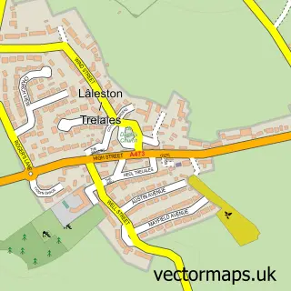
This Pen-y-fai street map is a detailed vector street map covering a 750m x 750m area. Select a larger area to create and download your own vector street map of Pen-y-fai.
The 750-metre map sample for Pen-y-fai covers 343 mapped buildings and approximately 11.3 km of road detail, of which 21 named roads are named. The immediate area includes 1 school, 1 GP surgery within 2 miles, 1 pub and 19 MOT stations within 2 miles. The wider area around Pen-y-fai features 1 food and drink venue. To create a larger or custom map of Pen-y-fai, the map builder lets you define your own coverage area and download editable SVG, PDF and PNG files.
Create a larger editable map of Pen-y-fai
Choose any area you need and generate a high-quality vector map instantly. Perfect for print, planning, design, business and personal use.

This Pen-y-fai street map in Mid Glamorgan is available as downloadable SVG, PDF and PNG map files, or as a printed map for planning, business, display, education, local information and design work. You can also create a larger custom map area using the map selector.
What this Pen-y-fai map sample shows
Pen-y-fai lies within Newcastle Higher Community parish, part of Pen-Y-Fai ward in the Pen-Y-Bont Ar Ogwr - Bridgend local authority area. The postcode geography for this area includes the CF postcode area, the CF31 postcode district and the CF31 4 postcode sector. Residents fall under the Swansea Bay University Local Health Board for NHS services.
Local features near Pen-y-fai
Within 2 milesAmenities and services in and around Pen-y-fai.
Administrative and postcode information for Pen-y-fai
The local authority covering Pen-y-fai is Pen-Y-Bont Ar Ogwr - Bridgend, within the county of Mid Glamorgan. The settlement lies within Pen-Y-Fai ward and Newcastle Higher Community civil parish. The CF31 postcode district and CF31 4 postcode sector serve the immediate area. NHS provision in the area is delivered through Cwm Taf Morgannwg University Health Board.
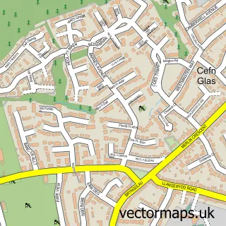
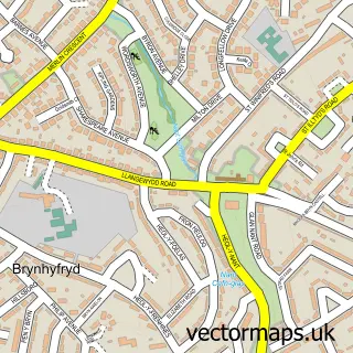
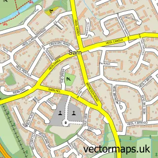
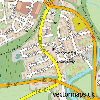
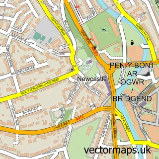
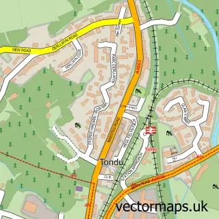
Nearby street map samples around Pen-y-fai

More street maps in Mid Glamorgan
750 metre map area coverage
Boundary, postcode and point of interest information for the 750m x 750m rectangle centred on this sample map.
Boundaries containing map centre
Constituency: Bridgend Co Const
District: Pen-y-bont ar Ogwr - Bridgend
Icb: Abertawe Bro Morgannwg University
Parish: Newcastle Higher Community
Police Force: south wales
Postcode District: CF31
Postcode Sector: CF31 4
Nearby boundaries intersecting sample
Parish: Laleston Community
Postcode coverage
POI category counts
Dog Park: 2
Elementary School: 2
Anglican Church: 1
Beverage Store: 1
Child Care And Day Care: 1
Church Cathedral: 1
Horse Boarding: 1
Martial Arts Club: 1
Pub: 1
Sample points of interest
- All Saints' Church
- Pheasant Acre Plants
- The Old School House Nursery
- Smyrna Baptist Chapel
- Pheasant
- The Pheasant
- Pen-Y-Fai Church in Wales Primary School
- Penyfai C.I.W. Primary
- Mandown poultry
- PTSD.
- Pheasant
Create a larger editable map of Pen-y-fai
This sample shows only a 750 metre area. To create a larger map of Pen-y-fai, use our map builder to choose your own coverage area, add titles and download editable SVG, PDF and PNG files.
Create a custom map of Pen-y-fai