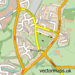
This Aberkenfig street map is a detailed vector street map covering a 750m x 750m area. Select a larger area to create and download your own vector street map of Aberkenfig.
The 750-metre map sample for Aberkenfig covers 352 mapped buildings and approximately 17.9 km of road detail, of which 34 named roads are named. The immediate area includes 2 schools, 1 GP surgery, with 2 within 2 miles, 1 pub and 9 MOT stations within 2 miles. The wider area around Aberkenfig features 2 tourism points of interest, 4 food and drink venues and 1 campsite within 2 miles. To create a larger or custom map of Aberkenfig, the map builder lets you define your own coverage area and download editable SVG, PDF and PNG files.
Create a larger editable map of Aberkenfig
Choose any area you need and generate a high-quality vector map instantly. Perfect for print, planning, design, business and personal use.

This Aberkenfig street map in Mid Glamorgan is available as downloadable SVG, PDF and PNG map files, or as a printed map for planning, business, display, education, local information and design work. You can also create a larger custom map area using the map selector.
What this Aberkenfig map sample shows
Aberkenfig lies within Newcastle Higher Community parish, part of Aberkenfig ward in the Pen-Y-Bont Ar Ogwr - Bridgend local authority area. The postcode geography for this area includes the CF postcode area, the CF32 postcode district and the CF32 9 postcode sector. Residents fall under the Swansea Bay University Local Health Board for NHS services.
Local features near Aberkenfig
Within 2 milesAmenities and services in and around Aberkenfig.
Administrative and postcode information for Aberkenfig
Aberkenfig lies within Newcastle Higher Community parish, part of Aberkenfig ward in the Pen-Y-Bont Ar Ogwr - Bridgend local authority area. The postcode geography for this area includes the CF postcode area, the CF32 postcode district and the CF32 9 postcode sector. Residents fall under the Swansea Bay University Local Health Board for NHS services.
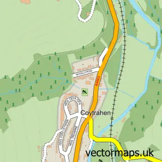
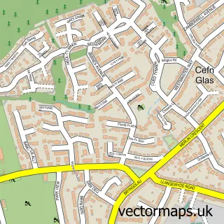
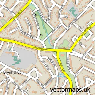
Nearby street map samples around Aberkenfig
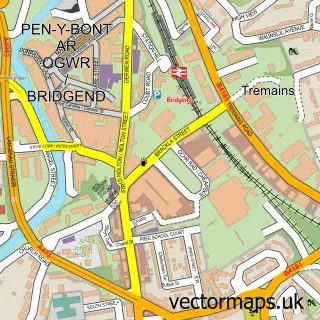

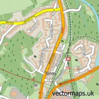
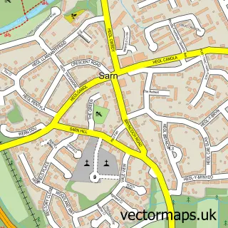

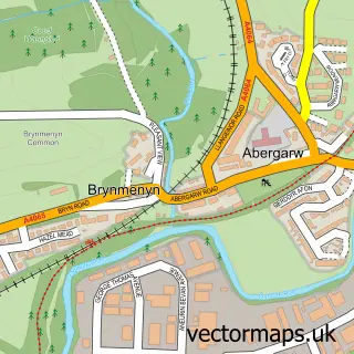
More street maps in Mid Glamorgan
750 metre map area coverage
Boundary, postcode and point of interest information for the 750m x 750m rectangle centred on this sample map.
Boundaries containing map centre
Constituency: Bridgend Co Const
District: Pen-y-bont ar Ogwr - Bridgend
Icb: Abertawe Bro Morgannwg University
Parish: Newcastle Higher Community
Police Force: south wales
Postcode District: CF32
Postcode Sector: CF32 9
Nearby boundaries intersecting sample
Parish: St. Bride's Minor Community, Ynysawdre Community
Postcode Sector: CF32 0
Postcode coverage
POI category counts
Beauty Salon: 7
Chinese Restaurant: 5
Professional Services: 4
Beauty And Spa: 3
Church Cathedral: 3
Flowers And Gifts Shop: 3
Tattoo And Piercing: 3
Accountant: 2
Atms: 2
Bar: 2
Sample points of interest
- CC Associates
- Francis Davies and Partners Chartered Certified Accountants
- Rickshaw
- PayPoint
- PayPoint
- XY Automation
- Braich Y Cymmer Hotel
- The Colliers
- Casablanca Barber Shop
- Select Kitchens
- Haus Of Glam Ltd
- Jo-Nya hair
Create a larger editable map of Aberkenfig
This sample shows only a 750 metre area. To create a larger map of Aberkenfig, use our map builder to choose your own coverage area, add titles and download editable SVG, PDF and PNG files.
Create a custom map of Aberkenfig