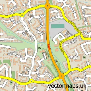
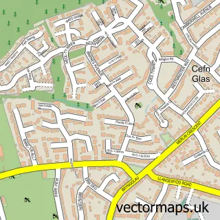
This Ewenny street map is a detailed vector street map covering a 750m x 750m area. Select a larger area to create and download your own vector street map of Ewenny.
The 750-metre map sample for Ewenny covers 149 mapped buildings and approximately 11.6 km of road detail, of which 12 named roads are named. The immediate area includes 1 pub and 19 MOT stations within 2 miles. The wider area around Ewenny features 2 food and drink venues and 1 hotel. To create a larger or custom map of Ewenny, the map builder lets you define your own coverage area and download editable SVG, PDF and PNG files.
Create a larger editable map of Ewenny
Choose any area you need and generate a high-quality vector map instantly. Perfect for print, planning, design, business and personal use.

This Ewenny street map in South Glamorgan is available as downloadable SVG, PDF and PNG map files, or as a printed map for planning, business, display, education, local information and design work. You can also create a larger custom map area using the map selector.
What this Ewenny map sample shows
Ewenny lies within Ewenny Community parish, part of Llandow/Ewenny ward in the Bro Morgannwg - The Vale Of Glamorgan local authority area. The postcode geography for this area includes the CF postcode area, the CF35 postcode district and the CF35 5 postcode sector. Residents fall under the Cardiff And Vale University Health Board for NHS services.
Local features near Ewenny
Within 2 milesAmenities and services in and around Ewenny.
Administrative and postcode information for Ewenny
The local authority covering Ewenny is Bro Morgannwg - The Vale Of Glamorgan, within the county of South Glamorgan. The settlement lies within Llandow/Ewenny ward and Ewenny Community civil parish. The CF35 postcode district and CF35 5 postcode sector serve the immediate area. NHS provision in the area is delivered through Cardiff And Vale University Health Board.
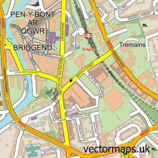
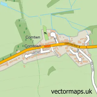
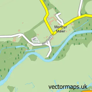
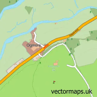
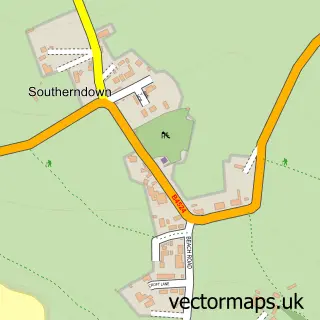
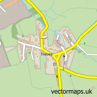
Nearby street map samples around Ewenny

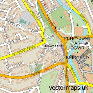
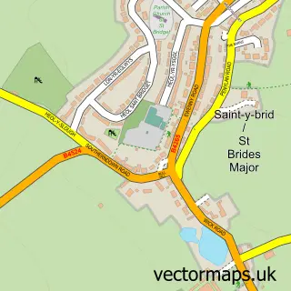
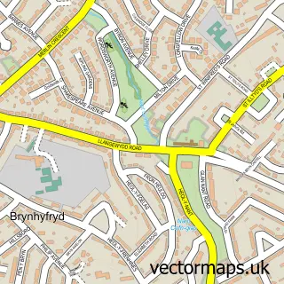
More street maps in South Glamorgan
750 metre map area coverage
Boundary, postcode and point of interest information for the 750m x 750m rectangle centred on this sample map.
Boundaries containing map centre
Constituency: Vale of Glamorgan Co Const
District: Bro Morgannwg - the Vale of Glamorgan
Icb: Cardiff and Vale University
Parish: Ewenny Community
Police Force: south wales
Postcode District: CF35
Postcode Sector: CF35 5
Nearby boundaries intersecting sample
Constituency: Bridgend Co Const
District: Pen-y-bont ar Ogwr - Bridgend
Icb: Abertawe Bro Morgannwg University
Parish: Bridgend Community
Postcode coverage
POI category counts
Building Supply Store: 2
Clothing Store: 2
Home Improvement Store: 2
Skin Care: 2
Advertising Agency: 1
Alternative Medicine: 1
Aquatic Pet Store: 1
Assisted Living Facility: 1
Automotive Repair: 1
Beauty Salon: 1
Sample points of interest
- Aurora Digital Marketing
- Dawns Healing Light
- The Aquatic Centre
- Fieldbay
- ChipsAway Bridgend and Neath
- Madison's
- Ewenny Farm Guest House
- Lafarge Ready Mixed Concrete
- Minimix
- Coast Coffee
- Eleanor Brooks Sandra Kirkup
- Starfish Boutique Barbados
Create a larger editable map of Ewenny
This sample shows only a 750 metre area. To create a larger map of Ewenny, use our map builder to choose your own coverage area, add titles and download editable SVG, PDF and PNG files.
Create a custom map of Ewenny