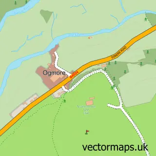
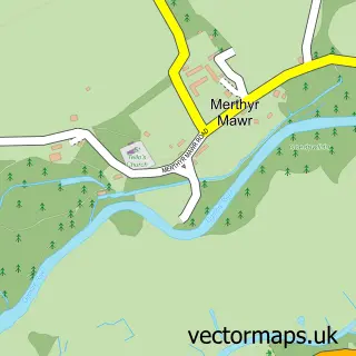
This Southerndown street map is a detailed vector street map covering a 750m x 750m area. Select a larger area to create and download your own vector street map of Southerndown.
The 750-metre map sample for Southerndown covers 82 mapped buildings and approximately 9.0 km of road detail, of which 4 named roads are named. The immediate area includes 2 pubs. The wider area around Southerndown features 2 food and drink venues and 3 hotels. To create a larger or custom map of Southerndown, the map builder lets you define your own coverage area and download editable SVG, PDF and PNG files.
Create a larger editable map of Southerndown
Choose any area you need and generate a high-quality vector map instantly. Perfect for print, planning, design, business and personal use.

This Southerndown street map in South Glamorgan is available as downloadable SVG, PDF and PNG map files, or as a printed map for planning, business, display, education, local information and design work. You can also create a larger custom map area using the map selector.
What this Southerndown map sample shows
Southerndown lies within St. Bride's Major Community parish, part of St. Bride's Major ward in the Bro Morgannwg - The Vale Of Glamorgan local authority area. The postcode geography for this area includes the CF postcode area, the CF32 postcode district and the CF32 0 postcode sector. Local NHS services are provided through Cardiff And Vale University Health Board.
Local features near Southerndown
Within 2 milesAmenities and services in and around Southerndown.
Administrative and postcode information for Southerndown
Southerndown lies within St. Bride's Major Community parish, part of St. Bride's Major ward in the Bro Morgannwg - The Vale Of Glamorgan local authority area. The postcode geography for this area includes the CF postcode area, the CF32 postcode district and the CF32 0 postcode sector. Local NHS services are provided through Cardiff And Vale University Health Board.
Nearby street map samples around Southerndown
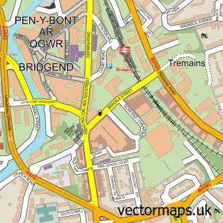

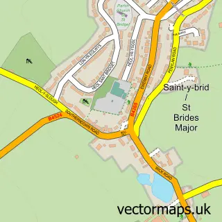
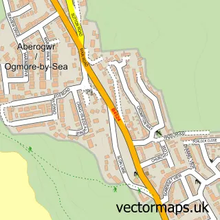

More street maps in South Glamorgan
750 metre map area coverage
Boundary, postcode and point of interest information for the 750m x 750m rectangle centred on this sample map.
Boundaries containing map centre
Constituency: Vale of Glamorgan Co Const
District: Bro Morgannwg - the Vale of Glamorgan
Icb: Cardiff and Vale University
Parish: St. Bride's Major Community
Police Force: south wales
Postcode District: CF32
Postcode Sector: CF32 0
Nearby boundaries intersecting sample
No additional intersecting boundaries found.
Postcode coverage
POI category counts
Hotel: 3
Beach: 2
Pub: 2
British Restaurant: 1
Gastropub: 1
Glass And Mirror Sales Service: 1
Sample points of interest
- Southerndown Beach
- Temple Bay
- Frolics Restaurant
- 3 Golden Cups Southern Down
- Pyramid Stained Glass
- Glanhafren Cottage
- Sea Dream Lodge, Southerndown
- Slade Holiday Cottages
- The Three Golden Cups
- Three Golden Cups
Create a larger editable map of Southerndown
This sample shows only a 750 metre area. To create a larger map of Southerndown, use our map builder to choose your own coverage area, add titles and download editable SVG, PDF and PNG files.
Create a custom map of Southerndown