This Wick street map is a detailed vector street map covering a 750m x 750m area. Select a larger area to create and download your own vector street map of Wick.
The 750-metre map sample for Wick covers 256 mapped buildings and approximately 12.9 km of road detail, of which 14 named roads are named. The immediate area includes 1 school and 2 pubs. The wider area around Wick features 1 tourism point of interest, 2 food and drink venues and 1 campsite within 2 miles. To create a larger or custom map of Wick, the map builder lets you define your own coverage area and download editable SVG, PDF and PNG files.
Create a larger editable map of Wick
Choose any area you need and generate a high-quality vector map instantly. Perfect for print, planning, design, business and personal use.

This Wick street map in South Glamorgan is available as downloadable SVG, PDF and PNG map files, or as a printed map for planning, business, display, education, local information and design work. You can also create a larger custom map area using the map selector.
What this Wick map sample shows
Wick lies within Wick Community parish, part of St. Bride's Major ward in the Bro Morgannwg - The Vale Of Glamorgan local authority area. The postcode geography for this area includes the CF postcode area, the CF71 postcode district and the CF71 7 postcode sector. Residents fall under the Cardiff And Vale University Health Board for NHS services.
Local features near Wick
Within 2 milesAmenities and services in and around Wick.
Administrative and postcode information for Wick
Wick lies within Wick Community parish, part of St. Bride's Major ward in the Bro Morgannwg - The Vale Of Glamorgan local authority area. The postcode geography for this area includes the CF postcode area, the CF71 postcode district and the CF71 7 postcode sector. Residents fall under the Cardiff And Vale University Health Board for NHS services.
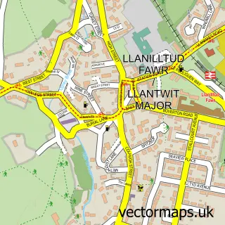
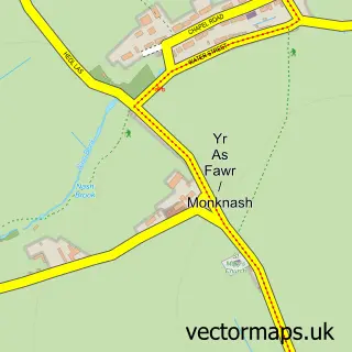
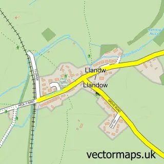
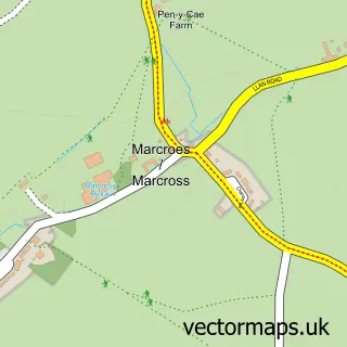
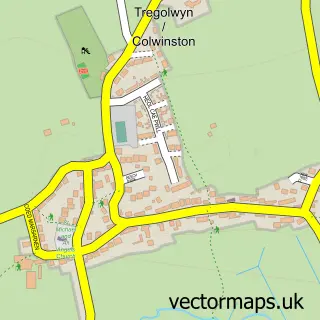
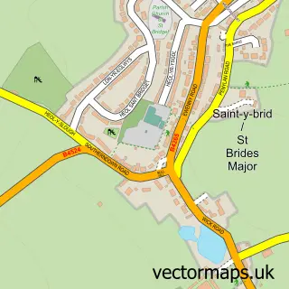
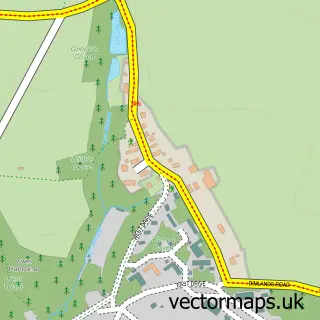
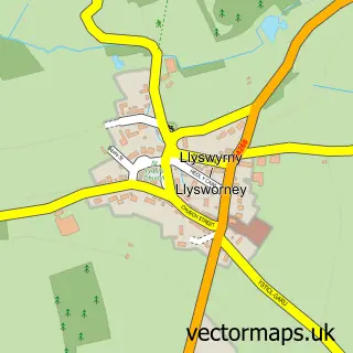
Nearby street map samples around Wick


More street maps in South Glamorgan
750 metre map area coverage
Boundary, postcode and point of interest information for the 750m x 750m rectangle centred on this sample map.
Boundaries containing map centre
Constituency: Vale of Glamorgan Co Const
District: Bro Morgannwg - the Vale of Glamorgan
Icb: Cardiff and Vale University
Parish: Wick Community
Police Force: south wales
Postcode District: CF71
Postcode Sector: CF71 7
Nearby boundaries intersecting sample
No additional intersecting boundaries found.
Postcode coverage
POI category counts
Fabric Store: 2
Pub: 2
Carpenter: 1
Church Cathedral: 1
College University: 1
Elementary School: 1
Korean Grocery Store: 1
Landmark And Historical Building: 1
Livestock Breeder: 1
Masonry Concrete: 1
Sample points of interest
- Vale Carpentry Solutions
- St James' Church
- Coleg Sir Gar-Carmarthen College
- Wick & Marcross Church in Wales Primary
- Juberry Fabrics
- Juberry Fabrics
- Wick Post Office
- Wick, Vale of Glamorgan
- Robbie's Rooster's
- Kinsale Stone Company
- MRJ Properties
- The Lamb & Flag - Wick
Create a larger editable map of Wick
This sample shows only a 750 metre area. To create a larger map of Wick, use our map builder to choose your own coverage area, add titles and download editable SVG, PDF and PNG files.
Create a custom map of Wick