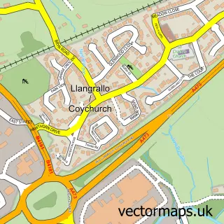
This Colwinston street map is a detailed vector street map covering a 750m x 750m area. Select a larger area to create and download your own vector street map of Colwinston.
The 750-metre map sample for Colwinston covers 201 mapped buildings and approximately 12.6 km of road detail, of which 4 named roads are named. The immediate area includes 1 school, 2 pubs and 1 MOT station within 2 miles. The wider area around Colwinston features 2 food and drink venues and 1 hotel. To create a larger or custom map of Colwinston, the map builder lets you define your own coverage area and download editable SVG, PDF and PNG files.
Create a larger editable map of Colwinston
Choose any area you need and generate a high-quality vector map instantly. Perfect for print, planning, design, business and personal use.

This Colwinston street map in South Glamorgan is available as downloadable SVG, PDF and PNG map files, or as a printed map for planning, business, display, education, local information and design work. You can also create a larger custom map area using the map selector.
What this Colwinston map sample shows
Colwinston lies within Colwinston Community parish, part of Llandow/Ewenny ward in the Bro Morgannwg - The Vale Of Glamorgan local authority area. The postcode geography for this area includes the CF postcode area, the CF71 postcode district and the CF71 7 postcode sector. Residents fall under the Cardiff And Vale University Health Board for NHS services.
Local features near Colwinston
Within 2 milesAmenities and services in and around Colwinston.
Administrative and postcode information for Colwinston
Colwinston lies within Colwinston Community parish, part of Llandow/Ewenny ward in the Bro Morgannwg - The Vale Of Glamorgan local authority area. The postcode geography for this area includes the CF postcode area, the CF71 postcode district and the CF71 7 postcode sector. Residents fall under the Cardiff And Vale University Health Board for NHS services.
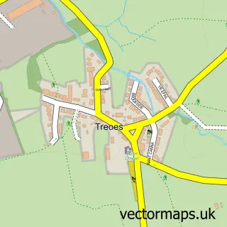
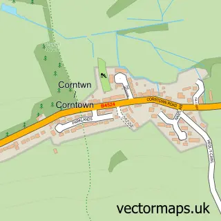
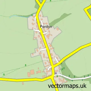
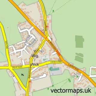
Nearby street map samples around Colwinston

More street maps in South Glamorgan
750 metre map area coverage
Boundary, postcode and point of interest information for the 750m x 750m rectangle centred on this sample map.
Boundaries containing map centre
Constituency: Vale of Glamorgan Co Const
District: Bro Morgannwg - the Vale of Glamorgan
Icb: Cardiff and Vale University
Parish: Colwinston Community
Police Force: south wales
Postcode District: CF71
Postcode Sector: CF71 7
Nearby boundaries intersecting sample
No additional intersecting boundaries found.
Postcode coverage
POI category counts
Church Cathedral: 2
Holiday Rental Home: 2
Pub: 2
Bridal Shop: 1
Building Supply Store: 1
Elementary School: 1
Flowers And Gifts Shop: 1
Hotel: 1
Martial Arts Club: 1
Professional Services: 1
Sample points of interest
- Emma Hall Designs
- Concrete Wales
- Liberty Church Colwinston
- St Michael and All Angels Church
- St. Davids Church In Wales Primary School
- A Little Vintage Wedding
- Highfield Farm Holiday Cottages
- Hilton Lodge
- Highfield Farm Holiday Cottages
- South Wales Wing Chun Kuen
- Gemma Griffiths Photography
- Sycamore Tree Inn
Create a larger editable map of Colwinston
This sample shows only a 750 metre area. To create a larger map of Colwinston, use our map builder to choose your own coverage area, add titles and download editable SVG, PDF and PNG files.
Create a custom map of Colwinston