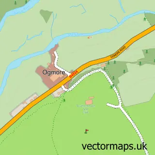
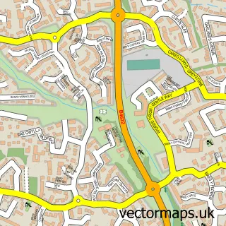
This Ogmore-by-Sea street map is a detailed vector street map covering a 750m x 750m area. Select a larger area to create and download your own vector street map of Ogmore-by-Sea.
The 750-metre map sample for Ogmore-by-Sea covers 368 mapped buildings and approximately 12.4 km of road detail, of which 18 named roads are named. The immediate area includes 1 pub. The wider area around Ogmore-by-Sea features 1 tourism point of interest and 1 food and drink venue. To create a larger or custom map of Ogmore-by-Sea, the map builder lets you define your own coverage area and download editable SVG, PDF and PNG files.
Create a larger editable map of Ogmore-by-Sea
Choose any area you need and generate a high-quality vector map instantly. Perfect for print, planning, design, business and personal use.

This Ogmore-by-Sea street map in South Glamorgan is available as downloadable SVG, PDF and PNG map files, or as a printed map for planning, business, display, education, local information and design work. You can also create a larger custom map area using the map selector.
What this Ogmore-by-Sea map sample shows
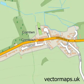
Ogmore-by-Sea lies within St. Bride's Major Community parish, part of St. Bride's Major ward in the Bro Morgannwg - The Vale Of Glamorgan local authority area. The postcode geography for this area includes the CF postcode area, the CF32 postcode district and the CF32 0 postcode sector. Local NHS services are provided through Cardiff And Vale University Health Board.
Local features near Ogmore-by-Sea
Within 2 milesAmenities and services in and around Ogmore-by-Sea.
Administrative and postcode information for Ogmore-by-Sea
Ogmore-by-Sea lies within St. Bride's Major Community parish, part of St. Bride's Major ward in the Bro Morgannwg - The Vale Of Glamorgan local authority area. The postcode geography for this area includes the CF postcode area, the CF32 postcode district and the CF32 0 postcode sector. Local NHS services are provided through Cardiff And Vale University Health Board.
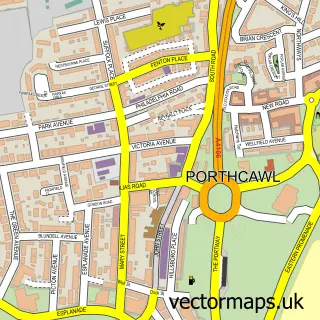
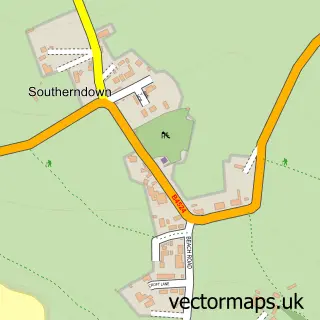
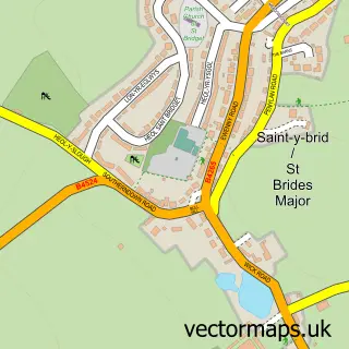
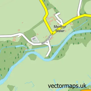
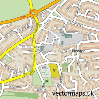
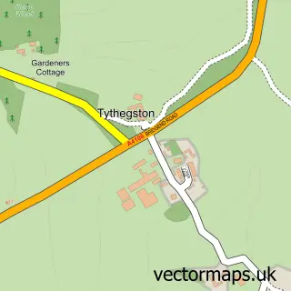
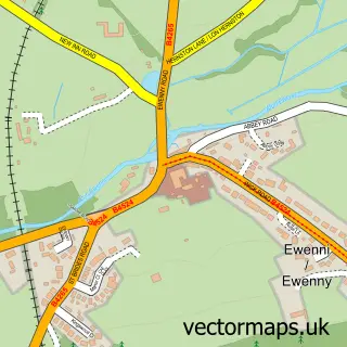
Nearby street map samples around Ogmore-by-Sea

More street maps in South Glamorgan
750 metre map area coverage
Boundary, postcode and point of interest information for the 750m x 750m rectangle centred on this sample map.
Boundaries containing map centre
Constituency: Vale of Glamorgan Co Const
District: Bro Morgannwg - the Vale of Glamorgan
Icb: Cardiff and Vale University
Parish: St. Bride's Major Community
Police Force: south wales
Postcode District: CF32
Postcode Sector: CF32 0
Nearby boundaries intersecting sample
No additional intersecting boundaries found.
Postcode coverage
POI category counts
Accountant: 2
Post Office: 2
Advertising Agency: 1
Barber: 1
Beach: 1
Beauty Salon: 1
Bridal Shop: 1
Church Cathedral: 1
Community Center: 1
Corporate Entertainment Services: 1
Sample points of interest
- Graham Associates (international) Ltd.
- Graham Associates Accountants & Independant Financial Advisers
- Emma Lamport
- Dub Shop Barbers
- Ogmore by Sea
- Elements Salon
- Welsh Brass Trio
- Ogmore by Sea Church
- Ogmore-by-Sea Hall
- Dando Phil
- Sadie & Franks Nursery - Bridgend
- Ogmore Centre Trust
Create a larger editable map of Ogmore-by-Sea
This sample shows only a 750 metre area. To create a larger map of Ogmore-by-Sea, use our map builder to choose your own coverage area, add titles and download editable SVG, PDF and PNG files.
Create a custom map of Ogmore-by-Sea