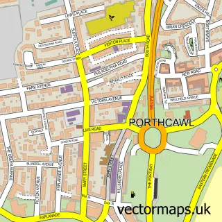
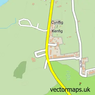
This Newton street map is a detailed vector street map covering a 750m x 750m area. Select a larger area to create and download your own vector street map of Newton.
The 750-metre map sample for Newton covers 567 mapped buildings and approximately 20.3 km of road detail, of which 42 named roads are named. The immediate area includes 4 pubs and 1 MOT station within 2 miles. The wider area around Newton features 1 tourism point of interest, 5 food and drink venues and 1 hotel. To create a larger or custom map of Newton, the map builder lets you define your own coverage area and download editable SVG, PDF and PNG files.
Create a larger editable map of Newton
Choose any area you need and generate a high-quality vector map instantly. Perfect for print, planning, design, business and personal use.

This Newton street map in Mid Glamorgan is available as downloadable SVG, PDF and PNG map files, or as a printed map for planning, business, display, education, local information and design work. You can also create a larger custom map area using the map selector.
What this Newton map sample shows
Newton lies within Porthcawl Community parish, part of Newton ward in the Pen-Y-Bont Ar Ogwr - Bridgend local authority area. The postcode geography for this area includes the CF postcode area, the CF36 postcode district and the CF36 5 postcode sector. Residents fall under the Swansea Bay University Local Health Board for NHS services.
Local features near Newton
Within 2 milesAmenities and services in and around Newton.
Administrative and postcode information for Newton
The local authority covering Newton is Pen-Y-Bont Ar Ogwr - Bridgend, within the county of Mid Glamorgan. The settlement lies within Newton ward and Porthcawl Community civil parish. The CF36 postcode district and CF36 5 postcode sector serve the immediate area. NHS provision in the area is delivered through Cwm Taf Morgannwg University Health Board.
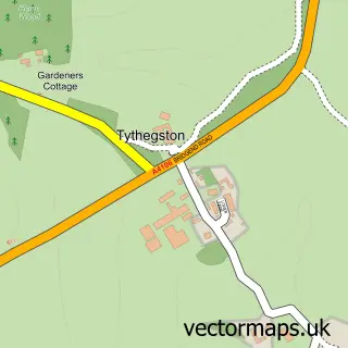
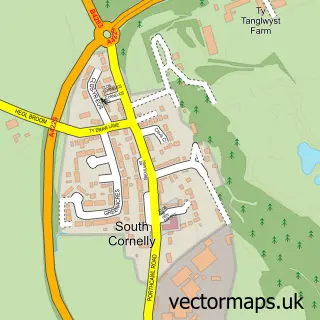
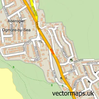
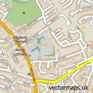
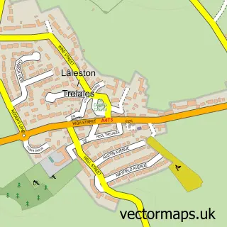
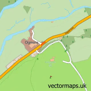
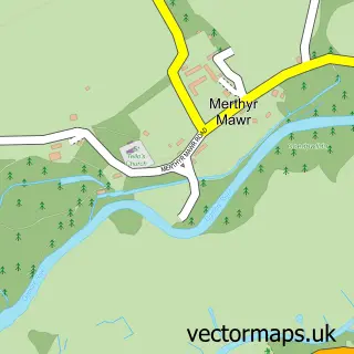
Nearby street map samples around Newton

More street maps in Mid Glamorgan
750 metre map area coverage
Boundary, postcode and point of interest information for the 750m x 750m rectangle centred on this sample map.
Boundaries containing map centre
Constituency: Bridgend Co Const
District: Pen-y-bont ar Ogwr - Bridgend
Icb: Abertawe Bro Morgannwg University
Parish: Porthcawl Community
Police Force: south wales
Postcode District: CF36
Postcode Sector: CF36 5
Nearby boundaries intersecting sample
No additional intersecting boundaries found.
Postcode coverage
POI category counts
Pub: 4
Beauty Salon: 2
Naturopathic Holistic: 2
Shipping Center: 2
Advertising Agency: 1
Alternative Medicine: 1
Architectural Designer: 1
Arts And Crafts: 1
Beer Bar: 1
Building Supply Store: 1
Sample points of interest
- H M Marketing
- Bill Seage Integrated Therapies
- Building Design & Surveying Services
- XtrandMore
- Beauty Sense
- Rerooted Hair & Aesthetics
- Bulb's Crafty Bar
- Stonedry
- AutoBarnes of Wales Ltd
- Ssafa Forces Help Bridgend
- St John the Baptist Church
- One - Un
Create a larger editable map of Newton
This sample shows only a 750 metre area. To create a larger map of Newton, use our map builder to choose your own coverage area, add titles and download editable SVG, PDF and PNG files.
Create a custom map of Newton