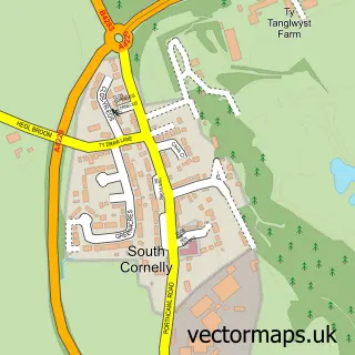
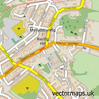
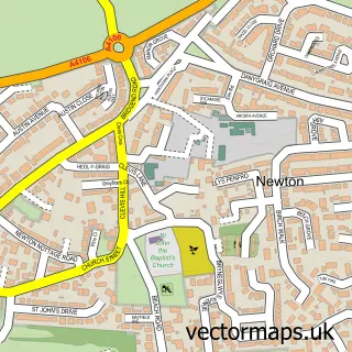
This North Cornelly street map is a detailed vector street map covering a 750m x 750m area. Select a larger area to create and download your own vector street map of North Cornelly.
The 750-metre map sample for North Cornelly covers 514 mapped buildings and approximately 20.9 km of road detail, of which 44 named roads are named. The immediate area includes 2 schools, 1 GP surgery within 2 miles, 1 pub and 1 MOT station, with 7 within 2 miles. The wider area around North Cornelly features 5 food and drink venues and 1 campsite within 2 miles. To create a larger or custom map of North Cornelly, the map builder lets you define your own coverage area and download editable SVG, PDF and PNG files.
Create a larger editable map of North Cornelly
Choose any area you need and generate a high-quality vector map instantly. Perfect for print, planning, design, business and personal use.

This North Cornelly street map in Mid Glamorgan is available as downloadable SVG, PDF and PNG map files, or as a printed map for planning, business, display, education, local information and design work. You can also create a larger custom map area using the map selector.
What this North Cornelly map sample shows
North Cornelly lies within Cornelly Community parish, part of Cornelly ward in the Pen-Y-Bont Ar Ogwr - Bridgend local authority area. The postcode geography for this area includes the CF postcode area, the CF33 postcode district and the CF33 4 postcode sector. Residents fall under the Swansea Bay University Local Health Board for NHS services.
Local features near North Cornelly
Within 2 milesAmenities and services in and around North Cornelly.
Administrative and postcode information for North Cornelly
North Cornelly lies within Cornelly Community parish, part of Cornelly ward in the Pen-Y-Bont Ar Ogwr - Bridgend local authority area. The postcode geography for this area includes the CF postcode area, the CF33 postcode district and the CF33 4 postcode sector. Residents fall under the Swansea Bay University Local Health Board for NHS services.
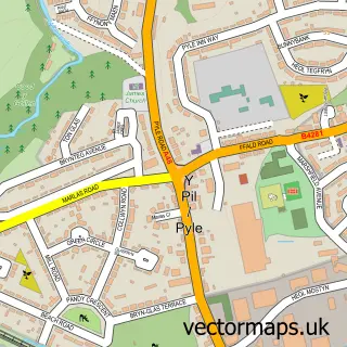
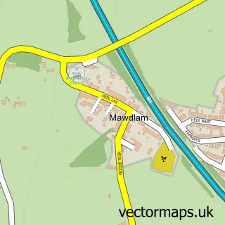
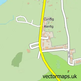
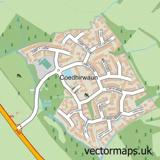
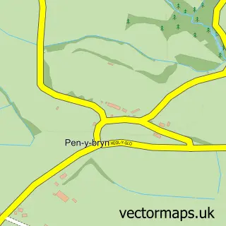
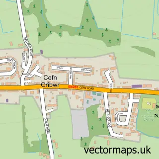
Nearby street map samples around North Cornelly

More street maps in Mid Glamorgan
750 metre map area coverage
Boundary, postcode and point of interest information for the 750m x 750m rectangle centred on this sample map.
Boundaries containing map centre
Constituency: Aberafan Maesteg Co Const
District: Pen-y-bont ar Ogwr - Bridgend
Icb: Abertawe Bro Morgannwg University
Parish: Cornelly Community
Police Force: south wales
Postcode District: CF33
Postcode Sector: CF33 4
Nearby boundaries intersecting sample
No additional intersecting boundaries found.
Postcode coverage
POI category counts
Coffee Shop: 3
Community Center: 3
Professional Services: 3
Auto Restoration Services: 2
Building Supply Store: 2
Elementary School: 2
Pharmacy: 2
Preschool: 2
Arts And Crafts: 1
Auto Detailing: 1
Sample points of interest
- Little Miss Make It
- IDetail Valeting
- L V V Trim & Technical
- LVV Trim & Technical
- Mike Poacher & Sons
- Davenports Den “The Shed”
- FJ BarbersFrankie Joshua
- Scalp Diverse
- Yew Tree Aesthetics
- Eco Green Gardens
- Whiz Ovens
- Benefit Fullcircle
Create a larger editable map of North Cornelly
This sample shows only a 750 metre area. To create a larger map of North Cornelly, use our map builder to choose your own coverage area, add titles and download editable SVG, PDF and PNG files.
Create a custom map of North Cornelly