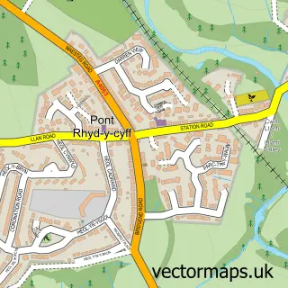
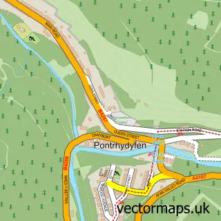
This Coed Hirwaun street map is a detailed vector street map covering a 750m x 750m area. Select a larger area to create and download your own vector street map of Coed Hirwaun.
The 750-metre map sample for Coed Hirwaun covers 251 mapped buildings and approximately 8.9 km of road detail, of which 14 named roads are named. The immediate area includes 1 school, 1 GP surgery within 2 miles and 6 MOT stations within 2 miles. The wider area around Coed Hirwaun features 1 hotel. To create a larger or custom map of Coed Hirwaun, the map builder lets you define your own coverage area and download editable SVG, PDF and PNG files.
Create a larger editable map of Coed Hirwaun
Choose any area you need and generate a high-quality vector map instantly. Perfect for print, planning, design, business and personal use.

This Coed Hirwaun street map in West Glamorgan is available as downloadable SVG, PDF and PNG map files, or as a printed map for planning, business, display, education, local information and design work. You can also create a larger custom map area using the map selector.
What this Coed Hirwaun map sample shows
Coed Hirwaun lies within Pyle Community parish, part of Pyle ward in the Pen-Y-Bont Ar Ogwr - Bridgend local authority area. The postcode geography for this area includes the CF postcode area, the CF33 postcode district and the CF33 6 postcode sector. Residents fall under the Swansea Bay University Local Health Board for NHS services.
Local features near Coed Hirwaun
Within 2 milesAmenities and services in and around Coed Hirwaun.
Administrative and postcode information for Coed Hirwaun
The local authority covering Coed Hirwaun is Pen-Y-Bont Ar Ogwr - Bridgend, within the county of West Glamorgan. The settlement lies within Pyle ward and Pyle Community civil parish. The CF33 postcode district and CF33 6 postcode sector serve the immediate area. NHS provision in the area is delivered through Cwm Taf Morgannwg University Health Board.
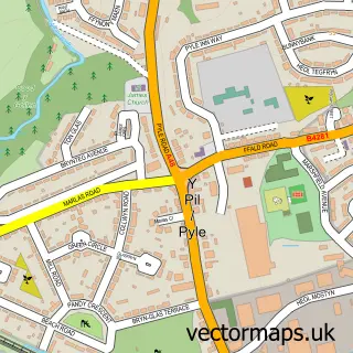
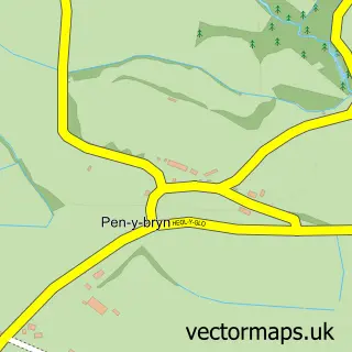
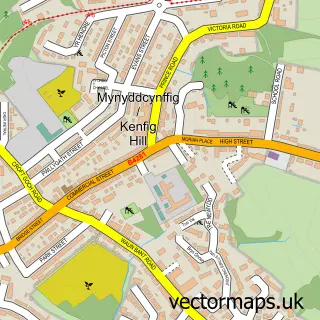
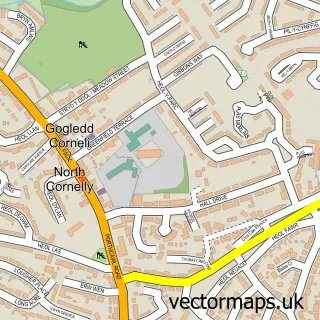
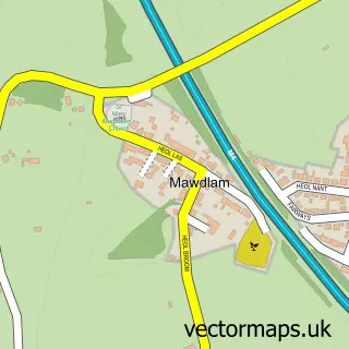
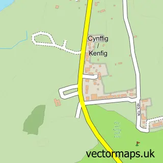
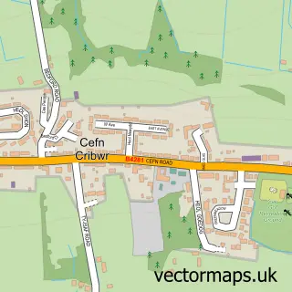
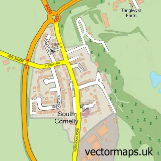
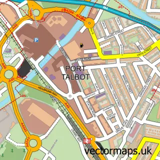
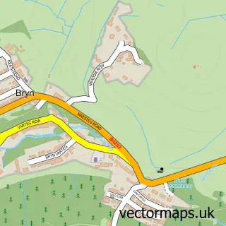
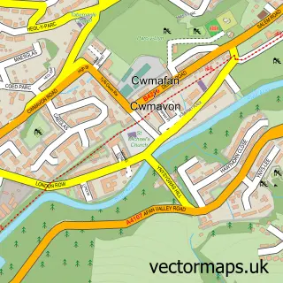
Nearby street map samples around Coed Hirwaun

More street maps in West Glamorgan
750 metre map area coverage
Boundary, postcode and point of interest information for the 750m x 750m rectangle centred on this sample map.
Boundaries containing map centre
Constituency: Aberafan Maesteg Co Const
District: Castell-nedd Port Talbot - Neath Port Talbot
Icb: Abertawe Bro Morgannwg University
Parish: Margam Community
Police Force: south wales
Postcode District: SA13
Postcode Sector: SA13 2
Nearby boundaries intersecting sample
No additional intersecting boundaries found.
Postcode coverage
POI category counts
Accountant: 1
Automotive: 1
Building Supply Store: 1
Cleaning Services: 1
Convenience Store: 1
Courier And Delivery Services: 1
Elementary School: 1
Food Consultant: 1
Hotel: 1
Nutritionist: 1
Sample points of interest
- SW Accounting Solutions
- Mp Valeting
- A-plus Electrics
- All-clean
- DHL Express Service Point (Margam Village Store)
- Evri ParcelShop
- Coed Hirwaun Primary School
- Food Business Mentor
- Margam Village
- Herbalife
- InPost
Create a larger editable map of Coed Hirwaun
This sample shows only a 750 metre area. To create a larger map of Coed Hirwaun, use our map builder to choose your own coverage area, add titles and download editable SVG, PDF and PNG files.
Create a custom map of Coed Hirwaun