Vector Maps logo
Home Why it works Popular maps Districts Samples Customizer Create Your Map
VectorMaps.uk
Home Popular maps Districts Samples Customizer Create Your Map Privacy Disclaimer
Home / UK Maps / West Glamorgan / Pen y Bryn Map

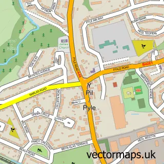
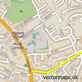
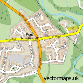
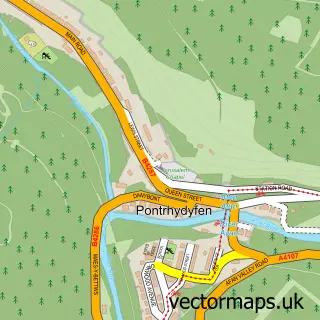
This Pen y Bryn street map is a detailed vector street map covering a 750m x 750m area. Select a larger area to create and download your own vector street map of Pen y Bryn.

Pen y Bryn is a village in West Glamorgan, in the South Wales West of Wales. Historically, the area formed part of Glamorgan. The settlement falls within the Bridgend parliamentary constituency. It is served by the CF33 postcode district, with CF33 6 as t

The 750-metre map sample for Pen y Bryn covers 32 mapped buildings and approximately 8.5 km of road detail, of which 1 named road are named. The immediate area includes 1 GP surgery within 2 miles and 5 MOT stations within 2 miles. To create a larger or custom map of Pen y Bryn, the map builder lets you define your own coverage area and download editable SVG, PDF and PNG files.

32Buildings
8.5 kmRoads
1Named roads
4,817Residents within 2 miles
Create your own

Create a larger editable map of Pen y Bryn

Choose any area you need and generate a high-quality vector map instantly. Perfect for print, planning, design, business and personal use.

Choose any location
Editable SVG files
Any size up to A0
PDF, PNG & more
Instant download
High quality guaranteed
Create My Custom Map
Secure, private & no credit card required
Pen y Bryn Vector Street Map
750m Sample
Pen y Bryn vector street map sample showing roads, buildings and local features in a 750 metre preview area
Buy Pen y Bryn Map Print from £12.95 Buy Pen y Bryn Digital Map from £6

This Pen y Bryn street map in West Glamorgan is available as downloadable SVG, PDF and PNG map files, or as a printed map for planning, business, display, education, local information and design work. You can also create a larger custom map area using the map selector.

What this Pen y Bryn map sample shows

Pen y Bryn lies within Pyle Community parish, part of Pyle ward in the Pen-Y-Bont Ar Ogwr - Bridgend local authority area. The postcode geography for this area includes the CF postcode area, the CF33 postcode district and the CF33 6 postcode sector. Residents fall under the Swansea Bay University Local Health Board for NHS services.

Local features near Pen y Bryn

Within 2 miles

Amenities and services in and around Pen y Bryn.

1 GP surgeries within 2 miles
5 MOT stations within 2 miles

Counts are approximate and based on publicly available data.

Administrative and postcode information for Pen y Bryn

The local authority covering Pen y Bryn is Pen-Y-Bont Ar Ogwr - Bridgend, within the county of West Glamorgan. The settlement lies within Pyle ward and Pyle Community civil parish. The CF33 postcode district and CF33 6 postcode sector serve the immediate area. NHS provision in the area is delivered through Cwm Taf Morgannwg University Health Board.

Parish Pyle Community
Ward Pyle
District / local authority Pen-y-bont ar Ogwr - Bridgend
County West Glamorgan
Historic county Glamorgan
Postcode district CF33
Postcode sector CF33 6
Parliamentary constituency Bridgend
Region South Wales West
Country Wales

Nearby street map samples around Pen y Bryn

Street map sample of Pyle, Mid Glamorgan Pyle Town - Mid Glamorgan - 1.5 miles Street map sample of Swansea, West Glamorgan Swansea City - West Glamorgan - 12.5 miles Street map sample of Coed Hirwaun, West Glamorgan Coed Hirwaun Village - West Glamorgan - 1.0 miles Street map sample of Kenfig Hill, Mid Glamorgan Kenfig Hill Village - Mid Glamorgan - 1.1 miles Street map sample of Cefn Cribwr, Mid Glamorgan Cefn Cribwr Village - Mid Glamorgan - 1.7 miles Street map sample of North Cornelly, Mid Glamorgan North Cornelly Village - Mid Glamorgan - 2.1 miles Street map sample of Mawdlam, Mid Glamorgan Mawdlam Village - Mid Glamorgan - 2.5 miles Street map sample of South Cornelly, Mid Glamorgan South Cornelly Village - Mid Glamorgan - 2.8 miles Street map sample of Kenfig, Mid Glamorgan Kenfig Village - Mid Glamorgan - 3.1 miles Street map sample of Llangynwyd, Mid Glamorgan Llangynwyd Village - Mid Glamorgan - 3.3 miles

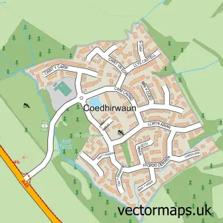
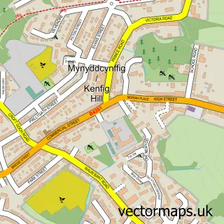
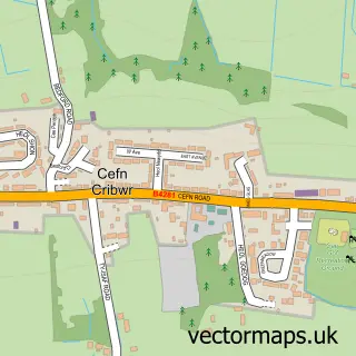
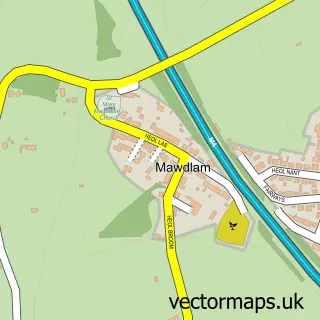
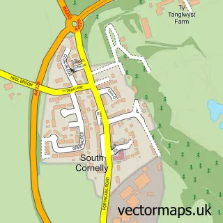
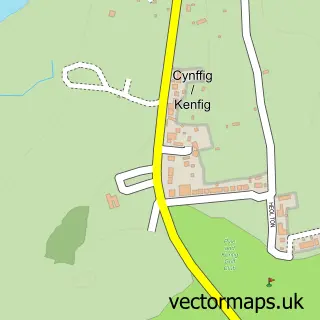
More street maps in West Glamorgan

Street map sample of Coed Hirwaun, West Glamorgan Coed Hirwaun Village - 1.0 miles Street map sample of Bryn, West Glamorgan Bryn Village - 4.8 miles Street map sample of Port Talbot, West Glamorgan Port Talbot Town - 5.5 miles Street map sample of Cwmafan, West Glamorgan Cwmafan Village - 5.7 miles Street map sample of Pont-rhyd-y-fen, West Glamorgan Pont-rhyd-y-fen Village - 6.5 miles

750 metre map area coverage

Boundary, postcode and point of interest information for the 750m x 750m rectangle centred on this sample map.

Boundaries containing map centre

Constituency: Aberafan Maesteg Co Const

District: Castell-nedd Port Talbot - Neath Port Talbot

Icb: Abertawe Bro Morgannwg University

Parish: Margam Community

Police Force: south wales

Postcode District: CF33

Postcode Sector: CF33 6

Nearby boundaries intersecting sample

No additional intersecting boundaries found.

Postcode coverage

CF33 CF33 6

POI category counts

Farm: 1

Sample points of interest

  • Pen Y Bryn Poultry Farm

Create a larger editable map of Pen y Bryn

This sample shows only a 750 metre area. To create a larger map of Pen y Bryn, use our map builder to choose your own coverage area, add titles and download editable SVG, PDF and PNG files.

Create a custom map of Pen y Bryn

Phone 01751 473136 | Copyright Vectormaps.uk 2026

Samples Customizer Privacy Disclaimer
Pen y Bryn Vector Street Map
Pen y Bryn enlarged street map sample showing a 750 metre preview area