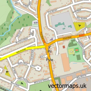
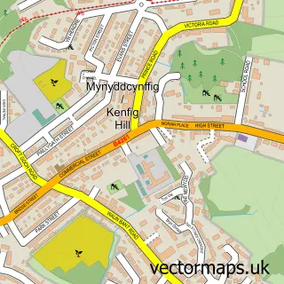
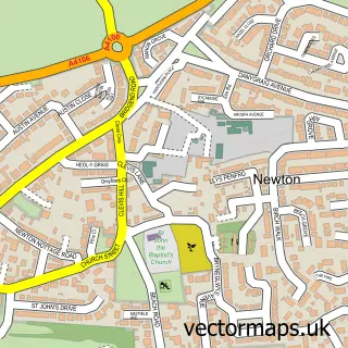
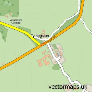
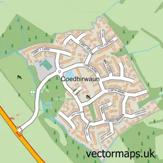
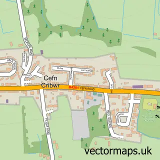
This South Cornelly street map is a detailed vector street map covering a 750m x 750m area. Select a larger area to create and download your own vector street map of South Cornelly.
The 750-metre map sample for South Cornelly covers 165 mapped buildings and approximately 9.0 km of road detail, of which 9 named roads are named. The immediate area includes 1 GP surgery within 2 miles and 1 MOT station, with 6 within 2 miles. The wider area around South Cornelly features 1 campsite within 2 miles. To create a larger or custom map of South Cornelly, the map builder lets you define your own coverage area and download editable SVG, PDF and PNG files.
Create a larger editable map of South Cornelly
Choose any area you need and generate a high-quality vector map instantly. Perfect for print, planning, design, business and personal use.

This South Cornelly street map in Mid Glamorgan is available as downloadable SVG, PDF and PNG map files, or as a printed map for planning, business, display, education, local information and design work. You can also create a larger custom map area using the map selector.
What this South Cornelly map sample shows
South Cornelly lies within Cornelly Community parish, part of Cornelly ward in the Pen-Y-Bont Ar Ogwr - Bridgend local authority area. The postcode geography for this area includes the CF postcode area, the CF33 postcode district and the CF33 4 postcode sector. Residents fall under the Swansea Bay University Local Health Board for NHS services.
Local features near South Cornelly
Within 2 milesAmenities and services in and around South Cornelly.
Administrative and postcode information for South Cornelly
The local authority covering South Cornelly is Pen-Y-Bont Ar Ogwr - Bridgend, within the county of Mid Glamorgan. The settlement lies within Cornelly ward and Cornelly Community civil parish. The CF33 postcode district and CF33 4 postcode sector serve the immediate area. NHS provision in the area is delivered through Cwm Taf Morgannwg University Health Board.
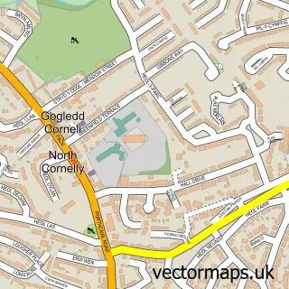
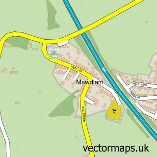
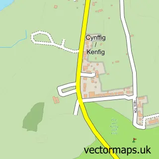
Nearby street map samples around South Cornelly

More street maps in Mid Glamorgan
750 metre map area coverage
Boundary, postcode and point of interest information for the 750m x 750m rectangle centred on this sample map.
Boundaries containing map centre
Constituency: Aberafan Maesteg Co Const
District: Pen-y-bont ar Ogwr - Bridgend
Icb: Abertawe Bro Morgannwg University
Parish: Cornelly Community
Police Force: south wales
Postcode District: CF33
Postcode Sector: CF33 4
Nearby boundaries intersecting sample
No additional intersecting boundaries found.
Postcode coverage
POI category counts
Automotive Repair: 4
Hardware Store: 2
Active Life: 1
Arts And Entertainment: 1
Boat Parts And Accessories: 1
Commercial Refrigeration: 1
Convenience Store: 1
Ferry Boat Company: 1
Financial Advising: 1
Life Coach: 1
Sample points of interest
- Hard Target Air Gun Club
- Op:ec Studios
- Andrew Cooper Car Body Repairs
- D 9 Autotech
- D9 Autotech ltd
- Misfuel UK
- Marine Scene
- The Repair Shop Bridgend - 01656 670900
- SPAR - Rontec South Cornelly
- Port Talbot Harbour
- Charterwood Rmg
- Braceys Building Supplies
Create a larger editable map of South Cornelly
This sample shows only a 750 metre area. To create a larger map of South Cornelly, use our map builder to choose your own coverage area, add titles and download editable SVG, PDF and PNG files.
Create a custom map of South Cornelly