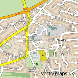
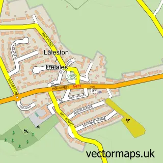
This Porthcawl street map is a detailed vector street map covering a 750m x 750m area. Select a larger area to create and download your own vector street map of Porthcawl.
The 750-metre map sample for Porthcawl covers 397 mapped buildings and approximately 23.6 km of road detail, of which 46 named roads are named. The immediate area includes 14 pubs and 1 MOT station within 2 miles. The wider area around Porthcawl features 2 tourism points of interest, 27 food and drink venues and 10 hotels. To create a larger or custom map of Porthcawl, the map builder lets you define your own coverage area and download editable SVG, PDF and PNG files.
Create a larger editable map of Porthcawl
Choose any area you need and generate a high-quality vector map instantly. Perfect for print, planning, design, business and personal use.

This Porthcawl street map in Mid Glamorgan is available as downloadable SVG, PDF and PNG map files, or as a printed map for planning, business, display, education, local information and design work. You can also create a larger custom map area using the map selector.
What this Porthcawl map sample shows
Porthcawl lies within Porthcawl Community parish, part of Porthcawl East Central ward in the Pen-Y-Bont Ar Ogwr - Bridgend local authority area. The postcode geography for this area includes the CF postcode area, the CF36 postcode district and the CF36 5 postcode sector. Residents fall under the Swansea Bay University Local Health Board for NHS services.
Local features near Porthcawl
Within 2 milesAmenities and services in and around Porthcawl.
Administrative and postcode information for Porthcawl
The local authority covering Porthcawl is Pen-Y-Bont Ar Ogwr - Bridgend, within the county of Mid Glamorgan. The settlement lies within Porthcawl East Central ward and Porthcawl Community civil parish. The CF36 postcode district and CF36 5 postcode sector serve the immediate area. NHS provision in the area is delivered through Cwm Taf Morgannwg University Health Board.
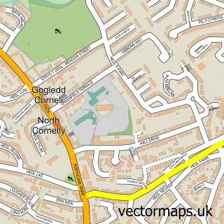
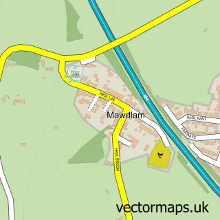
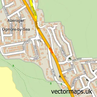
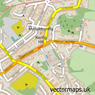
Nearby street map samples around Porthcawl

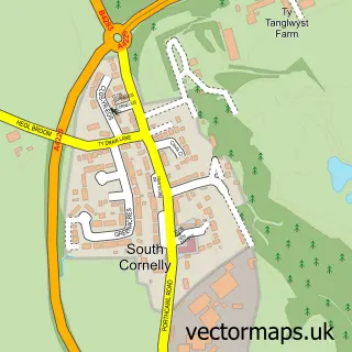
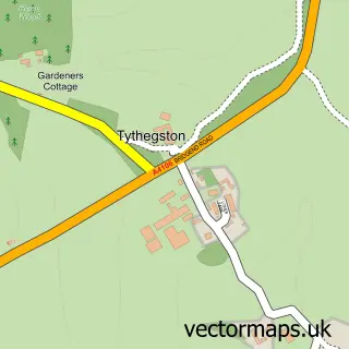
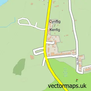
More street maps in Mid Glamorgan
750 metre map area coverage
Boundary, postcode and point of interest information for the 750m x 750m rectangle centred on this sample map.
Boundaries containing map centre
Constituency: Bridgend Co Const
District: Pen-y-bont ar Ogwr - Bridgend
Icb: Abertawe Bro Morgannwg University
Parish: Porthcawl Community
Police Force: south wales
Postcode District: CF36
Postcode Sector: CF36 3
Nearby boundaries intersecting sample
Postcode Sector: CF36 5
Postcode coverage
POI category counts
Beauty Salon: 14
Pub: 14
Flowers And Gifts Shop: 11
Hotel: 10
Hair Salon: 9
Bed And Breakfast: 7
Cafe: 7
Financial Service: 7
Professional Services: 7
Banks: 6
Sample points of interest
- AVENUE Holidays
- Porthcawl Ambulance Station
- Porthcawl Animal Welfare Society
- Kitty's Imaginarium
- Aqua-Tech
- Royal Air Forces Association
- The Cooperative Food Porthcawl (SWAP)
- Principality Building Society
- Porthcawl Furnishing & Upholstery
- Centre Stage Cakes
- Greggs
- Halifax
Create a larger editable map of Porthcawl
This sample shows only a 750 metre area. To create a larger map of Porthcawl, use our map builder to choose your own coverage area, add titles and download editable SVG, PDF and PNG files.
Create a custom map of Porthcawl