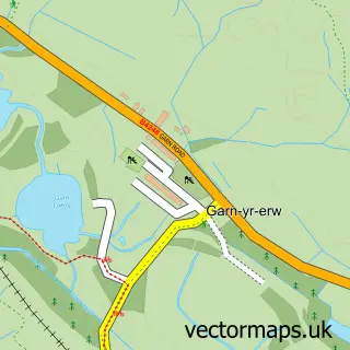
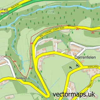
This Blaenavon street map is a detailed vector street map covering a 750m x 750m area. Select a larger area to create and download your own vector street map of Blaenavon.
The 750-metre map sample for Blaenavon covers 353 mapped buildings and approximately 70.4 km of road detail, of which 60 named roads are named. The immediate area includes 3 pubs and 1 MOT station. The wider area around Blaenavon features 2 tourism points of interest, 3 food and drink venues and 1 hotel. To create a larger or custom map of Blaenavon, the map builder lets you define your own coverage area and download editable SVG, PDF and PNG files.
Create a larger editable map of Blaenavon
Choose any area you need and generate a high-quality vector map instantly. Perfect for print, planning, design, business and personal use.

This Blaenavon street map in Gwent is available as downloadable SVG, PDF and PNG map files, or as a printed map for planning, business, display, education, local information and design work. You can also create a larger custom map area using the map selector.
What this Blaenavon map sample shows
Blaenavon lies within Blaenavon Community parish, part of Blaenavon ward in the Torfaen - Torfaen local authority area. The postcode geography for this area includes the NP postcode area, the NP4 postcode district and the NP4 9 postcode sector. Residents fall under the Aneurin Bevan University Health Board for NHS services.
Local features near Blaenavon
Within 2 milesAmenities and services in and around Blaenavon.
Administrative and postcode information for Blaenavon
The local authority covering Blaenavon is Torfaen - Torfaen, within the county of Gwent. The settlement lies within Blaenavon ward and Blaenavon Community civil parish. The NP4 postcode district and NP4 9 postcode sector serve the immediate area. NHS provision in the area is delivered through Aneurin Bevan University Health Board.
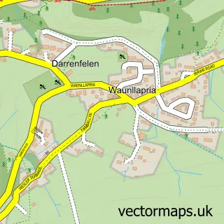
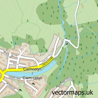
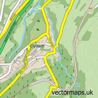
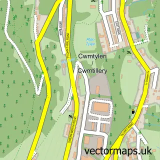
Nearby street map samples around Blaenavon

More street maps in Gwent
750 metre map area coverage
Boundary, postcode and point of interest information for the 750m x 750m rectangle centred on this sample map.
Boundaries containing map centre
Constituency: Torfaen Co Const
District: Torfaen - Torfaen
Icb: Aneurin Bevan University
Parish: Blaenavon Community
Police Force: gwent
Postcode District: NP4
Postcode Sector: NP4 9
Nearby boundaries intersecting sample
No additional intersecting boundaries found.
Postcode coverage
POI category counts
Convenience Store: 6
Church Cathedral: 4
Beauty And Spa: 3
Beauty Salon: 3
Pharmacy: 3
Pub: 3
Atms: 2
Barber: 2
Business Management Services: 2
Energy Company: 2
Sample points of interest
- Troubleshooters
- Blaenavon Stores - Premier, Blaenavon
- The Cooperative Food Blaenavon (SWAP), Blaenavon
- Phillips Electrical
- HSBC Bank
- ENVY / Chapz Barbershop
- The Barber Shop
- Aesthetics by Sadie
- GET GLAM Studio
- Shape & Create
- Luxe Lashes & Beauty
- Smokey Eyes Lash&Brow
Create a larger editable map of Blaenavon
This sample shows only a 750 metre area. To create a larger map of Blaenavon, use our map builder to choose your own coverage area, add titles and download editable SVG, PDF and PNG files.
Create a custom map of Blaenavon