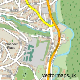
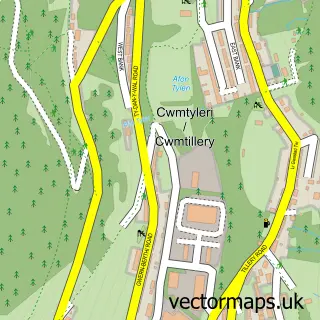
This Varteg street map is a detailed vector street map covering a 750m x 750m area. Select a larger area to create and download your own vector street map of Varteg.
The 750-metre map sample for Varteg covers 97 mapped buildings and approximately 30.9 km of road detail, of which 6 named roads are named. The immediate area includes 1 GP surgery within 2 miles, 1 pub and 4 MOT stations within 2 miles. The wider area around Varteg features 1 food and drink venue. To create a larger or custom map of Varteg, the map builder lets you define your own coverage area and download editable SVG, PDF and PNG files.
Create a larger editable map of Varteg
Choose any area you need and generate a high-quality vector map instantly. Perfect for print, planning, design, business and personal use.

This Varteg street map in Gwent is available as downloadable SVG, PDF and PNG map files, or as a printed map for planning, business, display, education, local information and design work. You can also create a larger custom map area using the map selector.
What this Varteg map sample shows
Varteg lies within Abersychan Community parish, part of Abersychan ward in the Torfaen - Torfaen local authority area. The postcode geography for this area includes the NP postcode area, the NP4 postcode district and the NP4 8 postcode sector. Residents fall under the Aneurin Bevan University Health Board for NHS services.
Local features near Varteg
Within 2 milesAmenities and services in and around Varteg.
Administrative and postcode information for Varteg
Varteg lies within Abersychan Community parish, part of Abersychan ward in the Torfaen - Torfaen local authority area. The postcode geography for this area includes the NP postcode area, the NP4 postcode district and the NP4 8 postcode sector. Residents fall under the Aneurin Bevan University Health Board for NHS services.
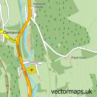
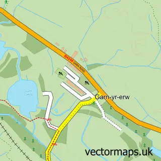
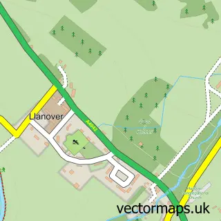
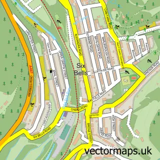
Nearby street map samples around Varteg

More street maps in Gwent
750 metre map area coverage
Boundary, postcode and point of interest information for the 750m x 750m rectangle centred on this sample map.
Boundaries containing map centre
Constituency: Torfaen Co Const
District: Torfaen - Torfaen
Icb: Aneurin Bevan University
Parish: Abersychan Community
Police Force: gwent
Postcode District: NP4
Postcode Sector: NP4 7
Nearby boundaries intersecting sample
Postcode Sector: NP4 8
Postcode coverage
POI category counts
Community Center: 1
Elementary School: 1
Information Technology Company: 1
Pub: 1
Rental Service: 1
Retirement Home: 1
Sample points of interest
- Varteg Community Centre
- Ysgol Bryn Onnen
- Torfaen Websites
- The Crown
- Phil Anslow Coaches
- Cwmavon Village Hall
Create a larger editable map of Varteg
This sample shows only a 750 metre area. To create a larger map of Varteg, use our map builder to choose your own coverage area, add titles and download editable SVG, PDF and PNG files.
Create a custom map of Varteg