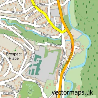
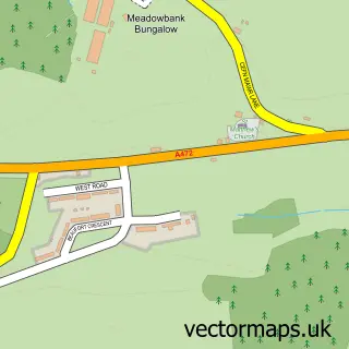
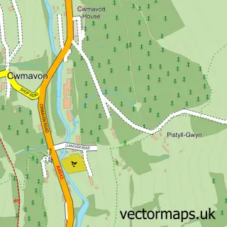
This Penperlleni street map is a detailed vector street map covering a 750m x 750m area. Select a larger area to create and download your own vector street map of Penperlleni.
The 750-metre map sample for Penperlleni covers 298 mapped buildings and approximately 39.8 km of road detail, of which 17 named roads are named. The immediate area includes 1 GP surgery and 1 MOT station, with 2 within 2 miles. The wider area around Penperlleni features 1 tourism point of interest and 1 campsite within 2 miles. To create a larger or custom map of Penperlleni, the map builder lets you define your own coverage area and download editable SVG, PDF and PNG files.
Create a larger editable map of Penperlleni
Choose any area you need and generate a high-quality vector map instantly. Perfect for print, planning, design, business and personal use.

This Penperlleni street map in Gwent is available as downloadable SVG, PDF and PNG map files, or as a printed map for planning, business, display, education, local information and design work. You can also create a larger custom map area using the map selector.
What this Penperlleni map sample shows
Penperlleni lies within Goetre Fawr Community parish, part of Goetre Fawr ward in the Sir Fynwy - Monmouthshire local authority area. The postcode geography for this area includes the NP postcode area, the NP4 postcode district and the NP4 0 postcode sector. Residents fall under the Aneurin Bevan University Health Board for NHS services.
Local features near Penperlleni
Within 2 milesAmenities and services in and around Penperlleni.
Administrative and postcode information for Penperlleni
The local authority covering Penperlleni is Sir Fynwy - Monmouthshire, within the county of Gwent. The settlement lies within Goetre Fawr ward and Goetre Fawr Community civil parish. The NP4 postcode district and NP4 0 postcode sector serve the immediate area. NHS provision in the area is delivered through Aneurin Bevan University Health Board.
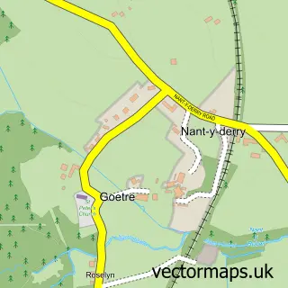
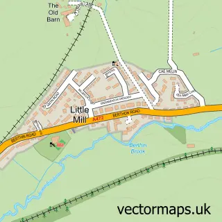
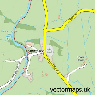
Nearby street map samples around Penperlleni

More street maps in Gwent
750 metre map area coverage
Boundary, postcode and point of interest information for the 750m x 750m rectangle centred on this sample map.
Boundaries containing map centre
Constituency: Monmouthshire Co Const
District: Sir Fynwy - Monmouthshire
Icb: Aneurin Bevan University
Parish: Goetre Fawr Community
Police Force: gwent
Postcode District: NP4
Postcode Sector: NP4 0
Nearby boundaries intersecting sample
No additional intersecting boundaries found.
Postcode coverage
POI category counts
Professional Services: 2
Scout Hall: 2
Shipping Center: 2
Used Car Dealer: 2
Youth Organizations: 2
Bar: 1
Convenience Store: 1
Energy Company: 1
Family Practice: 1
Gardener: 1
Sample points of interest
- Goytre Social Club
- SPAR Penperlleni
- Connected Kerb Charging Stations
- Goytre Surgery
- A Wilderness to Paradise
- Meggie Moo's Gifts
- Goytre After School Club
- Aderyn | Elysium Healthcare
- Nantyderry
- Goytre Tang Soo Do
- Penperlleni
- Daniels Dogs
Create a larger editable map of Penperlleni
This sample shows only a 750 metre area. To create a larger map of Penperlleni, use our map builder to choose your own coverage area, add titles and download editable SVG, PDF and PNG files.
Create a custom map of Penperlleni