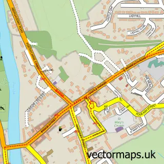
This Llancayo street map is a detailed vector street map covering a 750m x 750m area. Select a larger area to create and download your own vector street map of Llancayo.
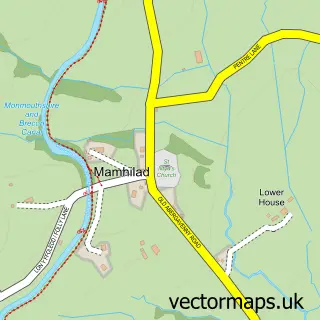
The 750-metre map sample for Llancayo covers 38 mapped buildings and approximately 22.6 km of road detail. The immediate area includes 2 MOT stations within 2 miles. To create a larger or custom map of Llancayo, the map builder lets you define your own coverage area and download editable SVG, PDF and PNG files.
Create a larger editable map of Llancayo
Choose any area you need and generate a high-quality vector map instantly. Perfect for print, planning, design, business and personal use.

This Llancayo street map in Gwent is available as downloadable SVG, PDF and PNG map files, or as a printed map for planning, business, display, education, local information and design work. You can also create a larger custom map area using the map selector.
What this Llancayo map sample shows
Llancayo lies within Llanarth Community parish, part of Llanbadoc ward in the Sir Fynwy - Monmouthshire local authority area. The postcode geography for this area includes the NP postcode area, the NP15 postcode district and the NP15 1 postcode sector. Residents fall under the Aneurin Bevan University Health Board for NHS services.
Local features near Llancayo
Within 2 milesAmenities and services in and around Llancayo.
Administrative and postcode information for Llancayo
Llancayo lies within Llanarth Community parish, part of Llanbadoc ward in the Sir Fynwy - Monmouthshire local authority area. The postcode geography for this area includes the NP postcode area, the NP15 postcode district and the NP15 1 postcode sector. Residents fall under the Aneurin Bevan University Health Board for NHS services.
Nearby street map samples around Llancayo

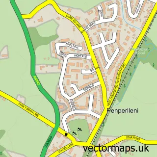
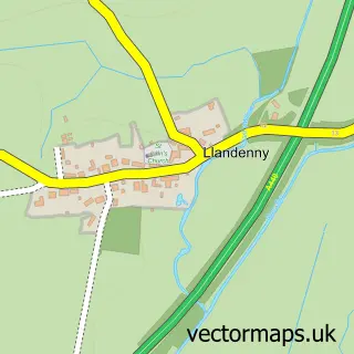
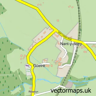
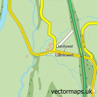
More street maps in Gwent
750 metre map area coverage
Boundary, postcode and point of interest information for the 750m x 750m rectangle centred on this sample map.
Boundaries containing map centre
Constituency: Monmouthshire Co Const
District: Sir Fynwy - Monmouthshire
Icb: Aneurin Bevan University
Parish: Llanarth Community
Police Force: gwent
Postcode District: NP15
Postcode Sector: NP15 1
Nearby boundaries intersecting sample
No additional intersecting boundaries found.
Postcode coverage
POI category counts
Professional Services: 3
Retail: 2
Accountant: 1
Acupuncture: 1
Art Gallery: 1
Automotive Parts And Accessories: 1
Automotive Repair: 1
Business Consulting: 1
Corporate Entertainment Services: 1
Engineering Services: 1
Sample points of interest
- Sentinel Wales Ltd.
- Acuphysio
- Gallery at Home
- Integra DC2 & Honda Performance Parts at R-Motion
- Common Motors
- RPS Energy
- Uskshow
- MEC Industrial Engineering Ltd
- Independence Direct Ltd
- Daykins Chartered Accountants
- Kada
- Cymru Holidays
Create a larger editable map of Llancayo
This sample shows only a 750 metre area. To create a larger map of Llancayo, use our map builder to choose your own coverage area, add titles and download editable SVG, PDF and PNG files.
Create a custom map of Llancayo