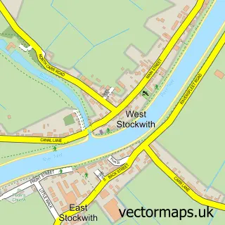
This Blyton street map is a detailed vector street map covering a 750m x 750m area. Select a larger area to create and download your own vector street map of Blyton.
The 750-metre map sample for Blyton covers 278 mapped buildings and approximately 11.0 km of road detail, of which 17 named roads are named. The immediate area includes 1 school, 3 pubs and 1 MOT station within 2 miles. The wider area around Blyton features 4 food and drink venues and 1 campsite within 2 miles. To create a larger or custom map of Blyton, the map builder lets you define your own coverage area and download editable SVG, PDF and PNG files.
Create a larger editable map of Blyton
Choose any area you need and generate a high-quality vector map instantly. Perfect for print, planning, design, business and personal use.

This Blyton street map in Lincolnshire is available as downloadable SVG, PDF and PNG map files, or as a printed map for planning, business, display, education, local information and design work. You can also create a larger custom map area using the map selector.
What this Blyton map sample shows
Blyton lies within Blyton Cp parish, part of Scotter And Blyton ward in the West Lindsey District local authority area. The postcode geography for this area includes the DN postcode area, the DN21 postcode district and the DN21 3 postcode sector. Residents fall under the Nhs Lincolnshire Integrated Care Board for NHS services.
Local features near Blyton
Within 2 milesAmenities and services in and around Blyton.
Administrative and postcode information for Blyton
Blyton lies within Blyton Cp parish, part of Scotter And Blyton ward in the West Lindsey District local authority area. The postcode geography for this area includes the DN postcode area, the DN21 postcode district and the DN21 3 postcode sector. Residents fall under the Nhs Lincolnshire Integrated Care Board for NHS services.
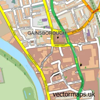
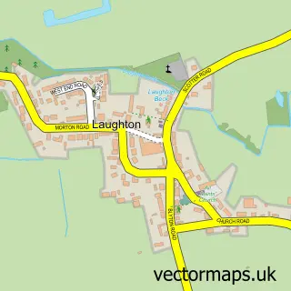
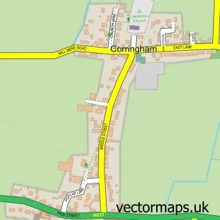
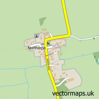
Nearby street map samples around Blyton

More street maps in Lincolnshire
750 metre map area coverage
Boundary, postcode and point of interest information for the 750m x 750m rectangle centred on this sample map.
Boundaries containing map centre
Constituency: Gainsborough Co Const
County: Lincolnshire County
District: West Lindsey District
Icb: NHS Lincolnshire ICB
Parish: Blyton CP
Police Force: lincolnshire
Postcode District: DN21
Postcode Sector: DN21 3
Ward: Scotter and Blyton Ward
Nearby boundaries intersecting sample
No additional intersecting boundaries found.
Postcode coverage
POI category counts
Building Supply Store: 3
Pub: 3
Elementary School: 2
Anglican Church: 1
Business To Business: 1
Chinese Restaurant: 1
Church Cathedral: 1
Community Center: 1
Construction Services: 1
Convenience Store: 1
Sample points of interest
- St Martin
- Flat Roofing UK
- JCB Hire Ltd
- OWL Property Development, Maintenance & Security Ltd
- Custom Gym Equipment Ltd. (uk)
- Wok Star
- Blyton Church
- Blyton Memorial Hall
- Grainger Building & Landscaping Services
- Blyton Village Store
- Humourus
- Evri ParcelShop
Create a larger editable map of Blyton
This sample shows only a 750 metre area. To create a larger map of Blyton, use our map builder to choose your own coverage area, add titles and download editable SVG, PDF and PNG files.
Create a custom map of Blyton