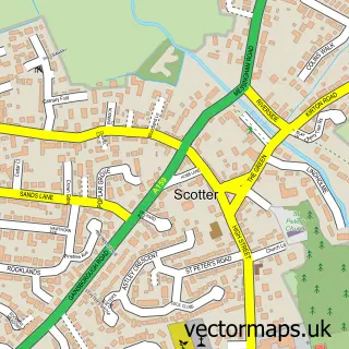
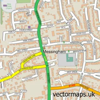
This Scotton street map is a detailed vector street map covering a 750m x 750m area. Select a larger area to create and download your own vector street map of Scotton.
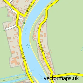
The 750-metre map sample for Scotton covers 268 mapped buildings and approximately 29.0 km of road detail, of which 12 named roads are named. The immediate area includes 2 pubs. The wider area around Scotton features 1 tourism point of interest and 2 food and drink venues. To create a larger or custom map of Scotton, the map builder lets you define your own coverage area and download editable SVG, PDF and PNG files.
Create a larger editable map of Scotton
Choose any area you need and generate a high-quality vector map instantly. Perfect for print, planning, design, business and personal use.

This Scotton street map in Lincolnshire is available as downloadable SVG, PDF and PNG map files, or as a printed map for planning, business, display, education, local information and design work. You can also create a larger custom map area using the map selector.
What this Scotton map sample shows
Scotton lies within Scotton Cp parish, part of Scotter And Blyton ward in the West Lindsey District local authority area. The postcode geography for this area includes the DN postcode area, the DN21 postcode district and the DN21 3 postcode sector. Residents fall under the Nhs Lincolnshire Integrated Care Board for NHS services.
Local features near Scotton
Within 2 milesAmenities and services in and around Scotton.
Administrative and postcode information for Scotton
Scotton lies within Scotton Cp parish, part of Scotter And Blyton ward in the West Lindsey District local authority area. The postcode geography for this area includes the DN postcode area, the DN21 postcode district and the DN21 3 postcode sector. Residents fall under the Nhs Lincolnshire Integrated Care Board for NHS services.
Nearby street map samples around Scotton

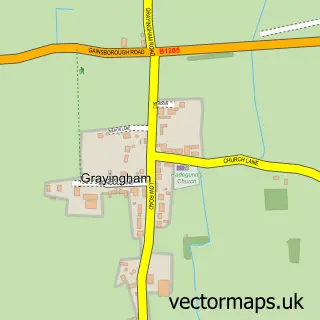
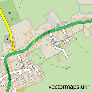
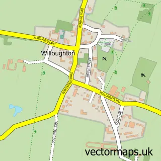
More street maps in Lincolnshire
750 metre map area coverage
Boundary, postcode and point of interest information for the 750m x 750m rectangle centred on this sample map.
Boundaries containing map centre
Constituency: Gainsborough Co Const
County: Lincolnshire County
District: West Lindsey District
Icb: NHS Lincolnshire ICB
Parish: Scotton CP
Police Force: lincolnshire
Postcode District: DN21
Postcode Sector: DN21 3
Ward: Scotter and Blyton Ward
Nearby boundaries intersecting sample
No additional intersecting boundaries found.
Postcode coverage
POI category counts
Pub: 2
Anglican Church: 1
Fishing Club: 1
Flowers And Gifts Shop: 1
Landmark And Historical Building: 1
Massage Therapy: 1
Naturopathic Holistic: 1
Professional Services: 1
Public And Government Association: 1
Retirement Home: 1
Sample points of interest
- St Genewys
- Cleatham Trout Fishery
- Family Gift Shops
- Scotton, Lincolnshire
- Body & Sole
- YourTime Wellness
- Pics Perfect Photo Booth Hire
- The Outback
- Three Horseshoes
- Scotton Village Hall
- Holly Tree Lodge
Create a larger editable map of Scotton
This sample shows only a 750 metre area. To create a larger map of Scotton, use our map builder to choose your own coverage area, add titles and download editable SVG, PDF and PNG files.
Create a custom map of Scotton