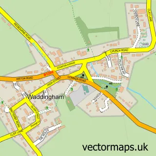
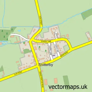
This Kirton in Lindsey street map is a detailed vector street map covering a 750m x 750m area. Select a larger area to create and download your own vector street map of Kirton in Lindsey.
The 750-metre map sample for Kirton in Lindsey covers 493 mapped buildings and approximately 25.1 km of road detail, of which 37 named roads are named. The immediate area includes 1 GP surgery, 2 pubs and 1 MOT station, with 2 within 2 miles. The wider area around Kirton in Lindsey features 5 food and drink venues. To create a larger or custom map of Kirton in Lindsey, the map builder lets you define your own coverage area and download editable SVG, PDF and PNG files.
Create a larger editable map of Kirton in Lindsey
Choose any area you need and generate a high-quality vector map instantly. Perfect for print, planning, design, business and personal use.

This Kirton in Lindsey street map in Lincolnshire is available as downloadable SVG, PDF and PNG map files, or as a printed map for planning, business, display, education, local information and design work. You can also create a larger custom map area using the map selector.
What this Kirton in Lindsey map sample shows
Kirton in Lindsey lies within Kirton In Lindsey Cp parish, part of Ridge ward in the North Lincolnshire (B) local authority area. The postcode geography for this area includes the DN postcode area, the DN21 postcode district and the DN21 4 postcode sector. Residents fall under the Nhs Humber And North Yorkshire Integrated Care Board for NHS services.
Local features near Kirton in Lindsey
Within 2 milesAmenities and services in and around Kirton in Lindsey.
Administrative and postcode information for Kirton in Lindsey
The local authority covering Kirton in Lindsey is North Lincolnshire (B), within the county of Lincolnshire. The settlement lies within Ridge ward and Kirton In Lindsey Cp civil parish. The DN21 postcode district and DN21 4 postcode sector serve the immediate area. NHS provision in the area is delivered through Northern Lincolnshire And Goole Nhs Foundation Trust.
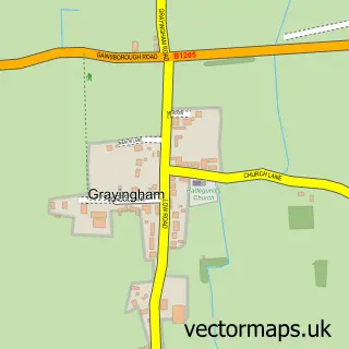
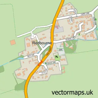
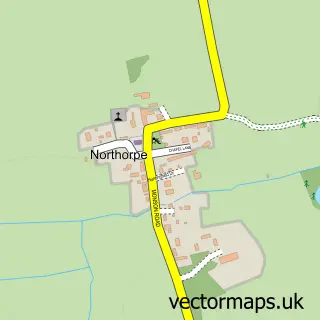
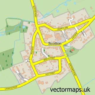
Nearby street map samples around Kirton in Lindsey

More street maps in Lincolnshire
750 metre map area coverage
Boundary, postcode and point of interest information for the 750m x 750m rectangle centred on this sample map.
Boundaries containing map centre
Constituency: Scunthorpe Co Const
District: North Lincolnshire (B)
Icb: NHS Humber and North Yorkshire ICB
Parish: Kirton in Lindsey CP
Police Force: humberside
Postcode District: DN21
Postcode Sector: DN21 4
Ward: Ridge Ward
Nearby boundaries intersecting sample
No additional intersecting boundaries found.
Postcode coverage
POI category counts
Convenience Store: 6
Building Supply Store: 4
Beauty And Spa: 3
It Service And Computer Repair: 3
Coffee Shop: 2
Contractor: 2
Currency Exchange: 2
Doctor: 2
Hair Salon: 2
Pub: 2
Sample points of interest
- AcuMe
- St. Andrew's United Church, Kirton Lindsey
- PayPoint
- HSBC UK
- No.42 Hair and Beauty
- Studio23
- Virgin Manes
- The Beauty Room
- Cragg Plumbing Ltd
- Fascia rite Roofing
- Ovenu Lincs
- Weston Power Evolution
Create a larger editable map of Kirton in Lindsey
This sample shows only a 750 metre area. To create a larger map of Kirton in Lindsey, use our map builder to choose your own coverage area, add titles and download editable SVG, PDF and PNG files.
Create a custom map of Kirton in Lindsey