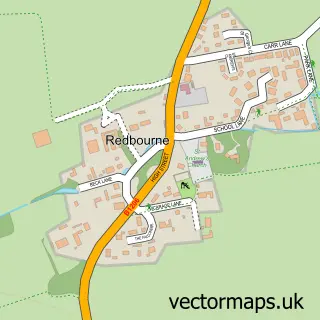
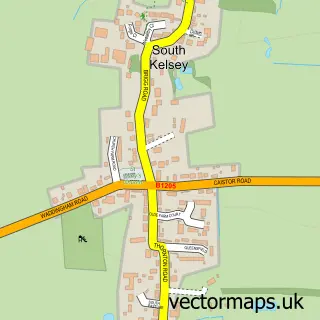
This Hibaldstow street map is a detailed vector street map covering a 750m x 750m area. Select a larger area to create and download your own vector street map of Hibaldstow.
The 750-metre map sample for Hibaldstow covers 539 mapped buildings and approximately 13.6 km of road detail, of which 38 named roads are named. The immediate area includes 1 school, 1 GP surgery, 1 pub and 2 MOT stations within 2 miles. The wider area around Hibaldstow features 1 food and drink venue. To create a larger or custom map of Hibaldstow, the map builder lets you define your own coverage area and download editable SVG, PDF and PNG files.
Create a larger editable map of Hibaldstow
Choose any area you need and generate a high-quality vector map instantly. Perfect for print, planning, design, business and personal use.

This Hibaldstow street map in Lincolnshire is available as downloadable SVG, PDF and PNG map files, or as a printed map for planning, business, display, education, local information and design work. You can also create a larger custom map area using the map selector.
What this Hibaldstow map sample shows
Hibaldstow lies within Hibaldstow Cp parish, part of Ridge ward in the North Lincolnshire (B) local authority area. The postcode geography for this area includes the DN postcode area, the DN20 postcode district and the DN20 9 postcode sector. Residents fall under the Nhs Humber And North Yorkshire Integrated Care Board for NHS services.
Local features near Hibaldstow
Within 2 milesAmenities and services in and around Hibaldstow.
Administrative and postcode information for Hibaldstow
The local authority covering Hibaldstow is North Lincolnshire (B), within the county of Lincolnshire. The settlement lies within Ridge ward and Hibaldstow Cp civil parish. The DN20 postcode district and DN20 9 postcode sector serve the immediate area. NHS provision in the area is delivered through Northern Lincolnshire And Goole Nhs Foundation Trust.
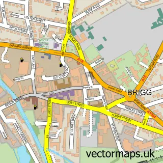
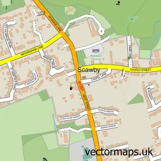
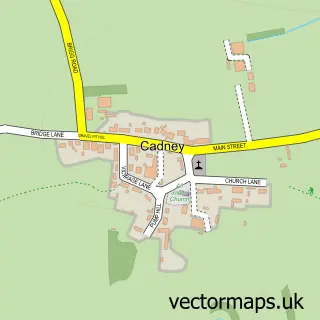
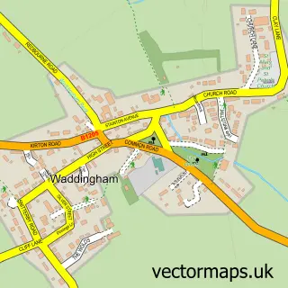
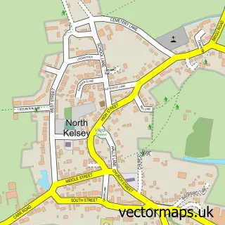
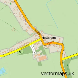
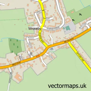
Nearby street map samples around Hibaldstow

More street maps in Lincolnshire
750 metre map area coverage
Boundary, postcode and point of interest information for the 750m x 750m rectangle centred on this sample map.
Boundaries containing map centre
Constituency: Scunthorpe Co Const
District: North Lincolnshire (B)
Icb: NHS Humber and North Yorkshire ICB
Parish: Hibaldstow CP
Police Force: humberside
Postcode District: DN20
Postcode Sector: DN20 9
Ward: Ridge Ward
Nearby boundaries intersecting sample
No additional intersecting boundaries found.
Postcode coverage
POI category counts
Automotive Services And Repair: 2
Bed And Breakfast: 2
Convenience Store: 2
Key And Locksmith: 2
Professional Services: 2
Alternative Medicine: 1
Anglican Church: 1
Atms: 1
Beauty And Spa: 1
Beauty Salon: 1
Sample points of interest
- The Peacock Retreat Holistic Wellbeing
- St Hybald's Church
- The Cooperative Food Hibaldstow Redbourne Rd
- Blueline Electrics
- PC Buddy 24/7
- Eye For Beauty By Chloe Brown
- Zen Hair Design
- The Wheatsheaf Hotel
- Thornfield Guest House
- Tyson Associates
- Methodist Church
- Church Street Stores
Create a larger editable map of Hibaldstow
This sample shows only a 750 metre area. To create a larger map of Hibaldstow, use our map builder to choose your own coverage area, add titles and download editable SVG, PDF and PNG files.
Create a custom map of Hibaldstow