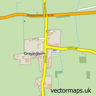
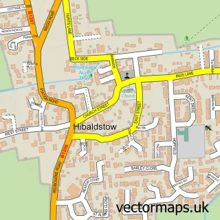
This Waddingham street map is a detailed vector street map covering a 750m x 750m area. Select a larger area to create and download your own vector street map of Waddingham.
The 750-metre map sample for Waddingham covers 263 mapped buildings and approximately 21.7 km of road detail, of which 20 named roads are named. The immediate area includes 1 school. To create a larger or custom map of Waddingham, the map builder lets you define your own coverage area and download editable SVG, PDF and PNG files.
Create a larger editable map of Waddingham
Choose any area you need and generate a high-quality vector map instantly. Perfect for print, planning, design, business and personal use.

This Waddingham street map in Lincolnshire is available as downloadable SVG, PDF and PNG map files, or as a printed map for planning, business, display, education, local information and design work. You can also create a larger custom map area using the map selector.
What this Waddingham map sample shows
Waddingham lies within Waddingham Cp parish, part of Waddingham And Spital ward in the West Lindsey District local authority area. The postcode geography for this area includes the DN postcode area, the DN21 postcode district and the DN21 4 postcode sector. Residents fall under the Nhs Lincolnshire Integrated Care Board for NHS services.
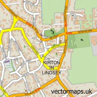
Local features near Waddingham
Within 2 milesAmenities and services in and around Waddingham.
Administrative and postcode information for Waddingham
The local authority covering Waddingham is West Lindsey District, within the county of Lincolnshire. The settlement lies within Waddingham And Spital ward and Waddingham Cp civil parish. The DN21 postcode district and DN21 4 postcode sector serve the immediate area. NHS provision in the area is delivered through United Lincolnshire Hospitals Nhs Trust.
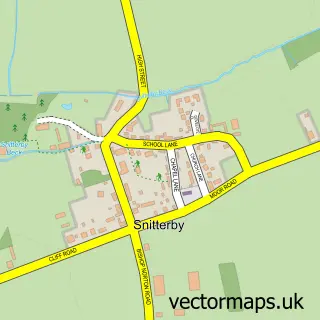
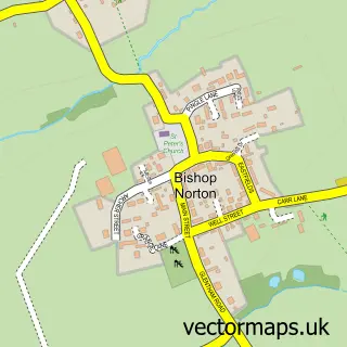
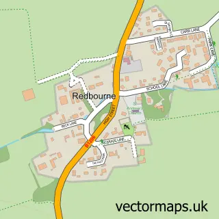
Nearby street map samples around Waddingham

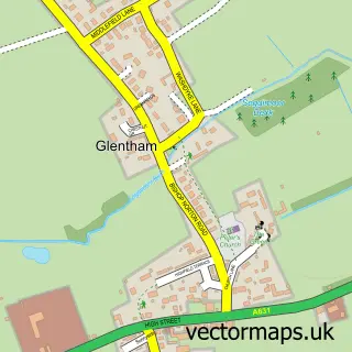
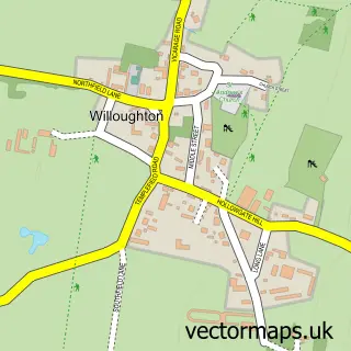
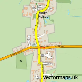
More street maps in Lincolnshire
750 metre map area coverage
Boundary, postcode and point of interest information for the 750m x 750m rectangle centred on this sample map.
Boundaries containing map centre
Constituency: Gainsborough Co Const
County: Lincolnshire County
District: West Lindsey District
Icb: NHS Lincolnshire ICB
Parish: Waddingham CP
Police Force: lincolnshire
Postcode District: DN21
Postcode Sector: DN21 4
Ward: Waddingham and Spital Ward
Nearby boundaries intersecting sample
No additional intersecting boundaries found.
Postcode coverage
POI category counts
It Service And Computer Repair: 2
Shipping Center: 2
Anglican Church: 1
Bakery: 1
Bar: 1
Community Center: 1
Doctor: 1
Elementary School: 1
Financial Advising: 1
Financial Service: 1
Sample points of interest
- St Mary & St Peter, Waddingham, Lincolnshire.
- Lilypop Bakery
- The Marquis of Granby
- Waddingham Village Hall
- Dr Yule-Smith And Partners
- Waddingham Primary School
- Positive Solutions
- Whitelock Financial Planning
- MarRon liqueurs
- Wendys Refurbs
- TPM Plumbing & Heating
- R O D Computers
Create a larger editable map of Waddingham
This sample shows only a 750 metre area. To create a larger map of Waddingham, use our map builder to choose your own coverage area, add titles and download editable SVG, PDF and PNG files.
Create a custom map of Waddingham