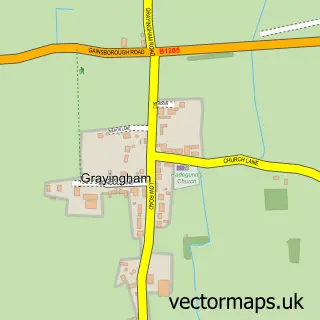
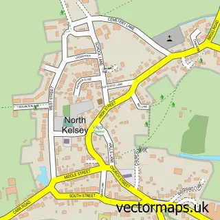
This Redbourne street map is a detailed vector street map covering a 750m x 750m area. Select a larger area to create and download your own vector street map of Redbourne.
The 750-metre map sample for Redbourne covers 136 mapped buildings and approximately 9.4 km of road detail, of which 10 named roads are named. The immediate area includes 1 GP surgery within 2 miles and 1 pub. The wider area around Redbourne features 1 food and drink venue and 1 hotel. To create a larger or custom map of Redbourne, the map builder lets you define your own coverage area and download editable SVG, PDF and PNG files.
Create a larger editable map of Redbourne
Choose any area you need and generate a high-quality vector map instantly. Perfect for print, planning, design, business and personal use.

This Redbourne street map in Lincolnshire is available as downloadable SVG, PDF and PNG map files, or as a printed map for planning, business, display, education, local information and design work. You can also create a larger custom map area using the map selector.
What this Redbourne map sample shows
Redbourne lies within Redbourne Cp parish, part of Ridge ward in the North Lincolnshire (B) local authority area. The postcode geography for this area includes the DN postcode area, the DN21 postcode district and the DN21 4 postcode sector. Residents fall under the Nhs Humber And North Yorkshire Integrated Care Board for NHS services.
Local features near Redbourne
Within 2 milesAmenities and services in and around Redbourne.
Administrative and postcode information for Redbourne
Redbourne lies within Redbourne Cp parish, part of Ridge ward in the North Lincolnshire (B) local authority area. The postcode geography for this area includes the DN postcode area, the DN21 postcode district and the DN21 4 postcode sector. Residents fall under the Nhs Humber And North Yorkshire Integrated Care Board for NHS services.
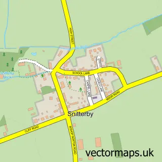
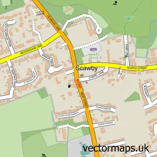
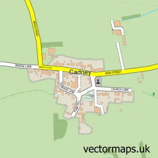
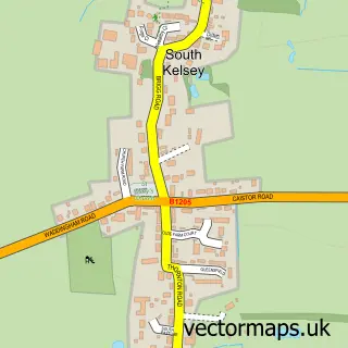
Nearby street map samples around Redbourne

More street maps in Lincolnshire
750 metre map area coverage
Boundary, postcode and point of interest information for the 750m x 750m rectangle centred on this sample map.
Boundaries containing map centre
Constituency: Scunthorpe Co Const
District: North Lincolnshire (B)
Icb: NHS Humber and North Yorkshire ICB
Parish: Redbourne CP
Police Force: humberside
Postcode District: DN21
Postcode Sector: DN21 4
Ward: Ridge Ward
Nearby boundaries intersecting sample
No additional intersecting boundaries found.
Postcode coverage
POI category counts
Anglican Church: 1
Hotel: 1
Metal Fabricator: 1
Pub: 1
Public Health Clinic: 1
Swimming Pool: 1
Sample points of interest
- St Andrew's Church
- Red Lion Inn At Redbourne
- Cameron Huggins Blacksmith
- The Red Lion Coaching Inn
- The Huntercombe Centre
- Emmerson Swim School
Create a larger editable map of Redbourne
This sample shows only a 750 metre area. To create a larger map of Redbourne, use our map builder to choose your own coverage area, add titles and download editable SVG, PDF and PNG files.
Create a custom map of Redbourne