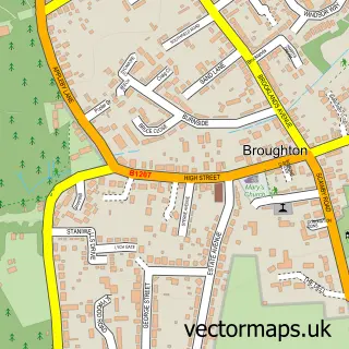
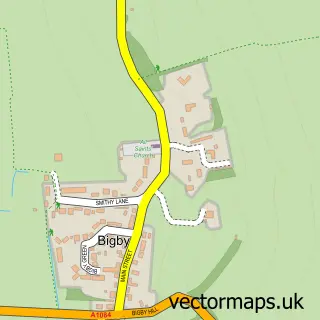
This Scawby street map is a detailed vector street map covering a 750m x 750m area. Select a larger area to create and download your own vector street map of Scawby.
The 750-metre map sample for Scawby covers 304 mapped buildings and approximately 9.3 km of road detail, of which 24 named roads are named. The immediate area includes 1 school, 1 GP surgery within 2 miles, 2 pubs and 1 MOT station, with 3 within 2 miles. The wider area around Scawby features 2 tourism points of interest and 3 food and drink venues. To create a larger or custom map of Scawby, the map builder lets you define your own coverage area and download editable SVG, PDF and PNG files.
Create a larger editable map of Scawby
Choose any area you need and generate a high-quality vector map instantly. Perfect for print, planning, design, business and personal use.

This Scawby street map in Lincolnshire is available as downloadable SVG, PDF and PNG map files, or as a printed map for planning, business, display, education, local information and design work. You can also create a larger custom map area using the map selector.
What this Scawby map sample shows
Scawby lies within Scawby Cp parish, part of Ridge ward in the North Lincolnshire (B) local authority area. The postcode geography for this area includes the DN postcode area, the DN20 postcode district and the DN20 9 postcode sector. Residents fall under the Nhs Humber And North Yorkshire Integrated Care Board for NHS services.
Local features near Scawby
Within 2 milesAmenities and services in and around Scawby.
Administrative and postcode information for Scawby
The local authority covering Scawby is North Lincolnshire (B), within the county of Lincolnshire. The settlement lies within Ridge ward and Scawby Cp civil parish. The DN20 postcode district and DN20 9 postcode sector serve the immediate area. NHS provision in the area is delivered through Northern Lincolnshire And Goole Nhs Foundation Trust.
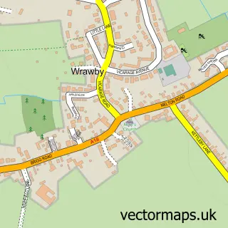
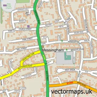
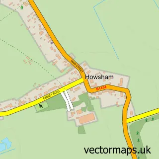
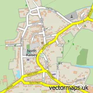
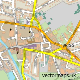
Nearby street map samples around Scawby

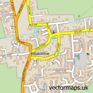
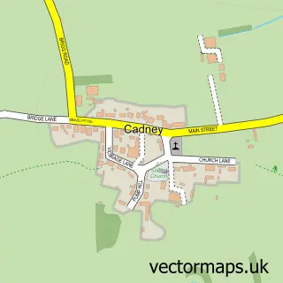
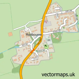
More street maps in Lincolnshire
750 metre map area coverage
Boundary, postcode and point of interest information for the 750m x 750m rectangle centred on this sample map.
Boundaries containing map centre
Constituency: Scunthorpe Co Const
District: North Lincolnshire (B)
Icb: NHS Humber and North Yorkshire ICB
Parish: Scawby CP
Police Force: humberside
Postcode District: DN20
Postcode Sector: DN20 9
Ward: Broughton & Scawby Ward
Nearby boundaries intersecting sample
No additional intersecting boundaries found.
Postcode coverage
POI category counts
Church Cathedral: 2
Convenience Store: 2
Elementary School: 2
Pub: 2
Anglican Church: 1
Architectural Designer: 1
Bed And Breakfast: 1
Building Supply Store: 1
Clinical Laboratories: 1
Coffee Shop: 1
Sample points of interest
- St Hybald (Scawby and Redbourne)
- Hiddenline Architectural Design
- The Old Parsonage
- SC Window Cleaning
- Scawby Church
- St Hybald's Church
- Glasstech
- Costa Express
- Scawby Village Hall
- Lincolnshire Co-op Scawby Food Store
- Scawby Food Store
- Post Office Travel Money
Create a larger editable map of Scawby
This sample shows only a 750 metre area. To create a larger map of Scawby, use our map builder to choose your own coverage area, add titles and download editable SVG, PDF and PNG files.
Create a custom map of Scawby