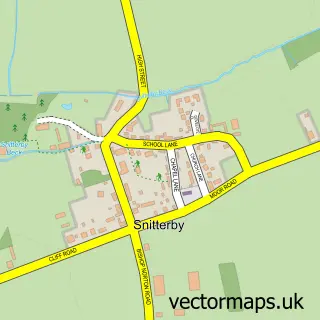
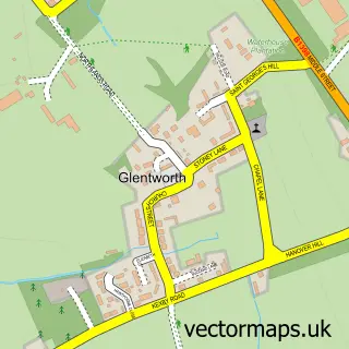
This Glentham street map is a detailed vector street map covering a 750m x 750m area. Select a larger area to create and download your own vector street map of Glentham.
The 750-metre map sample for Glentham covers 209 mapped buildings and approximately 8.9 km of road detail, of which 8 named roads are named. The immediate area includes 1 pub and 1 MOT station. The wider area around Glentham features 1 food and drink venue and 1 campsite within 2 miles. To create a larger or custom map of Glentham, the map builder lets you define your own coverage area and download editable SVG, PDF and PNG files.
Create a larger editable map of Glentham
Choose any area you need and generate a high-quality vector map instantly. Perfect for print, planning, design, business and personal use.

This Glentham street map in Lincolnshire is available as downloadable SVG, PDF and PNG map files, or as a printed map for planning, business, display, education, local information and design work. You can also create a larger custom map area using the map selector.
What this Glentham map sample shows
Glentham lies within Glentham Cp parish, part of Waddingham And Spital ward in the West Lindsey District local authority area. The postcode geography for this area includes the LN postcode area, the LN8 postcode district and the LN8 2 postcode sector. Residents fall under the Nhs Lincolnshire Integrated Care Board for NHS services.
Local features near Glentham
Within 2 milesAmenities and services in and around Glentham.
Administrative and postcode information for Glentham
The local authority covering Glentham is West Lindsey District, within the county of Lincolnshire. The settlement lies within Waddingham And Spital ward and Glentham Cp civil parish. The LN8 postcode district and LN8 2 postcode sector serve the immediate area. NHS provision in the area is delivered through United Lincolnshire Hospitals Nhs Trust.
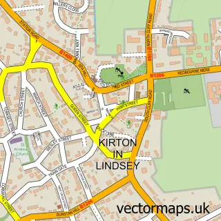
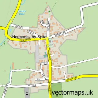
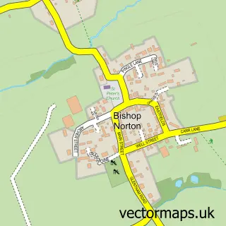
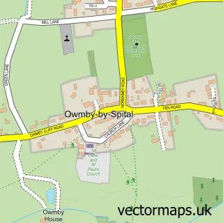
Nearby street map samples around Glentham

More street maps in Lincolnshire
750 metre map area coverage
Boundary, postcode and point of interest information for the 750m x 750m rectangle centred on this sample map.
Boundaries containing map centre
Constituency: Gainsborough Co Const
County: Lincolnshire County
District: West Lindsey District
Icb: NHS Lincolnshire ICB
Parish: Glentham CP
Police Force: lincolnshire
Postcode District: LN8
Postcode Sector: LN8 2
Ward: Waddingham and Spital Ward
Nearby boundaries intersecting sample
Parish: Caenby CP
Postcode coverage
POI category counts
Business Management Services: 3
Anglican Church: 1
Automotive Dealer: 1
Bus Tours: 1
Community Center: 1
Convenience Store: 1
Cottage: 1
Event Technology Service: 1
Nail Salon: 1
Pet Groomer: 1
Sample points of interest
- St Peter
- Glentham Motors
- Stephensons Coaches
- Glentham Post Office
- Its Training (Uk) Ltd.
- Post Office-Glentham
- Glentham Village Hall
- Glentham Village Shop
- Barn Cottage
- Brighthome Builders
- CB Nails & Remedial Massage - Lincoln
- Rural Pawfection Dog Grooming
Create a larger editable map of Glentham
This sample shows only a 750 metre area. To create a larger map of Glentham, use our map builder to choose your own coverage area, add titles and download editable SVG, PDF and PNG files.
Create a custom map of Glentham