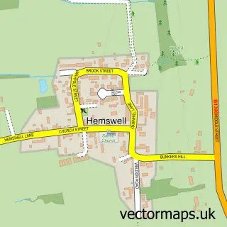
This Hemswell Cliff street map is a detailed vector street map covering a 750m x 750m area. Select a larger area to create and download your own vector street map of Hemswell Cliff.
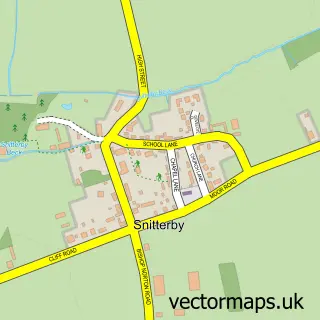
The 750-metre map sample for Hemswell Cliff covers 140 mapped buildings and approximately 14.8 km of road detail, of which 13 named roads are named. The immediate area includes 1 school. The wider area around Hemswell Cliff features 3 food and drink venues. To create a larger or custom map of Hemswell Cliff, the map builder lets you define your own coverage area and download editable SVG, PDF and PNG files.
Create a larger editable map of Hemswell Cliff
Choose any area you need and generate a high-quality vector map instantly. Perfect for print, planning, design, business and personal use.

This Hemswell Cliff street map in Lincolnshire is available as downloadable SVG, PDF and PNG map files, or as a printed map for planning, business, display, education, local information and design work. You can also create a larger custom map area using the map selector.
What this Hemswell Cliff map sample shows
Hemswell Cliff lies within Hemswell Cliff Cp parish, part of Hemswell ward in the West Lindsey District local authority area. The postcode geography for this area includes the DN postcode area, the DN21 postcode district and the DN21 5 postcode sector. Residents fall under the Nhs Lincolnshire Integrated Care Board for NHS services.
Local features near Hemswell Cliff
Within 2 milesAmenities and services in and around Hemswell Cliff.
Administrative and postcode information for Hemswell Cliff
Hemswell Cliff lies within Hemswell Cliff Cp parish, part of Hemswell ward in the West Lindsey District local authority area. The postcode geography for this area includes the DN postcode area, the DN21 postcode district and the DN21 5 postcode sector. Residents fall under the Nhs Lincolnshire Integrated Care Board for NHS services.
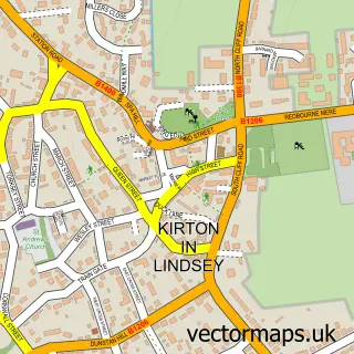
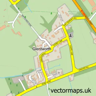
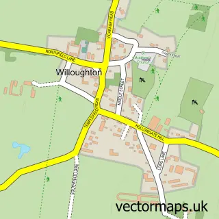
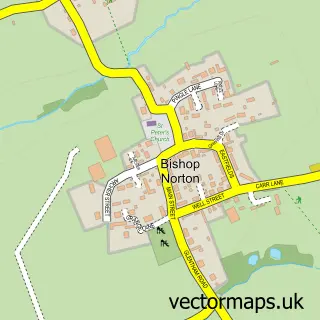
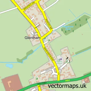
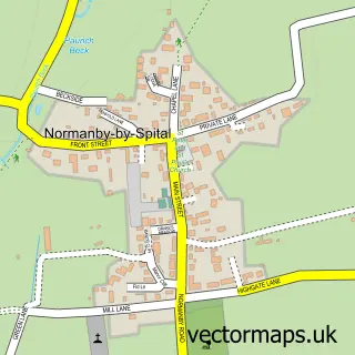
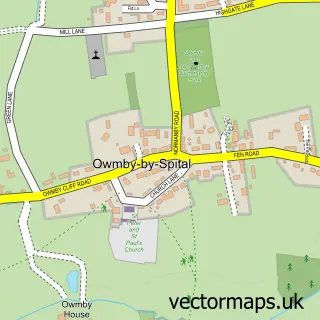
Nearby street map samples around Hemswell Cliff

More street maps in Lincolnshire
750 metre map area coverage
Boundary, postcode and point of interest information for the 750m x 750m rectangle centred on this sample map.
Boundaries containing map centre
Constituency: Gainsborough Co Const
County: Lincolnshire County
District: West Lindsey District
Icb: NHS Lincolnshire ICB
Parish: Hemswell Cliff CP
Police Force: lincolnshire
Postcode District: DN21
Postcode Sector: DN21 5
Ward: Hemswell Ward
Nearby boundaries intersecting sample
Parish: Harpswell CP
Postcode coverage
POI category counts
Antique Store: 7
Corporate Office: 2
Jewelry Store: 2
Armed Forces Branch: 1
Arts And Entertainment: 1
Business Manufacturing And Supply: 1
Cafe: 1
Coffee Shop: 1
Contractor: 1
Data Recovery: 1
Sample points of interest
- All N Sundry
- Canberra Antique Centre
- Guardroom Antiques
- Hemswell Antique Centres
- Jack Darcy
- Lowfields Barn Antiques
- RSHELL's Homewares & Creations
- RAF Hemswell
- Aerial Lincs
- Parkacre
- Faun Cafe
- Hemswell Coffee Shop
Create a larger editable map of Hemswell Cliff
This sample shows only a 750 metre area. To create a larger map of Hemswell Cliff, use our map builder to choose your own coverage area, add titles and download editable SVG, PDF and PNG files.
Create a custom map of Hemswell Cliff