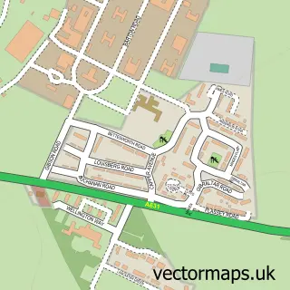
This Glentworth street map is a detailed vector street map covering a 750m x 750m area. Select a larger area to create and download your own vector street map of Glentworth.
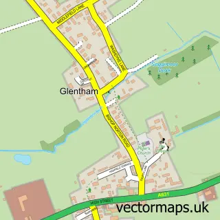
The 750-metre map sample for Glentworth covers 122 mapped buildings and approximately 22.1 km of road detail, of which 12 named roads are named. To create a larger or custom map of Glentworth, the map builder lets you define your own coverage area and download editable SVG, PDF and PNG files.
Create a larger editable map of Glentworth
Choose any area you need and generate a high-quality vector map instantly. Perfect for print, planning, design, business and personal use.

This Glentworth street map in Lincolnshire is available as downloadable SVG, PDF and PNG map files, or as a printed map for planning, business, display, education, local information and design work. You can also create a larger custom map area using the map selector.
What this Glentworth map sample shows
Glentworth lies within Glentworth Cp parish, part of Hemswell ward in the West Lindsey District local authority area. The postcode geography for this area includes the DN postcode area, the DN21 postcode district and the DN21 5 postcode sector. Residents fall under the Nhs Lincolnshire Integrated Care Board for NHS services.
Administrative and postcode information for Glentworth
Glentworth lies within Glentworth Cp parish, part of Hemswell ward in the West Lindsey District local authority area. The postcode geography for this area includes the DN postcode area, the DN21 postcode district and the DN21 5 postcode sector. Residents fall under the Nhs Lincolnshire Integrated Care Board for NHS services.
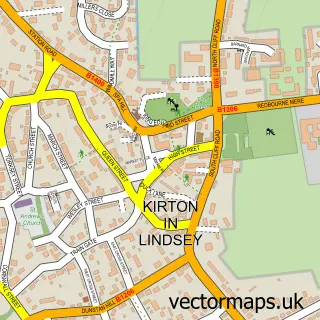
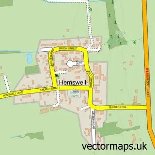
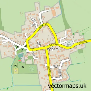
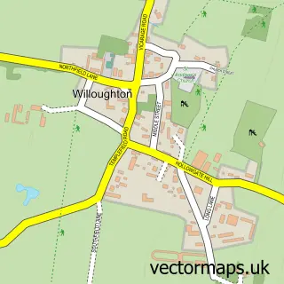
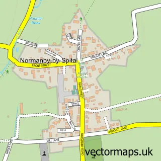
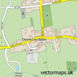
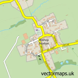
Nearby street map samples around Glentworth

More street maps in Lincolnshire
750 metre map area coverage
Boundary, postcode and point of interest information for the 750m x 750m rectangle centred on this sample map.
Boundaries containing map centre
Constituency: Gainsborough Co Const
County: Lincolnshire County
District: West Lindsey District
Icb: NHS Lincolnshire ICB
Parish: Glentworth CP
Police Force: lincolnshire
Postcode District: DN21
Postcode Sector: DN21 5
Ward: Hemswell Ward
Nearby boundaries intersecting sample
No additional intersecting boundaries found.
Postcode coverage
POI category counts
Anglican Church: 1
Building Contractor: 1
Convenience Store: 1
Dance School: 1
Electronics: 1
Equestrian Facility: 1
Ice Cream Shop: 1
Pet Services: 1
Sample points of interest
- St Michael
- The Countryside and Garden Company
- Ingham Village Mini Market & Post Office
- Paige Pritchard School of Dance
- David Shucksmith
- Hillside Services
- Classic Ice Cream
- Millhaven Canine Rehabilitation
Create a larger editable map of Glentworth
This sample shows only a 750 metre area. To create a larger map of Glentworth, use our map builder to choose your own coverage area, add titles and download editable SVG, PDF and PNG files.
Create a custom map of Glentworth