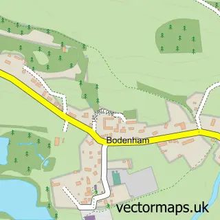
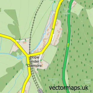
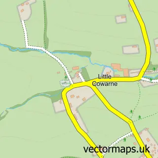
This Bodenham Moor street map is a detailed vector street map covering a 750m x 750m area. Select a larger area to create and download your own vector street map of Bodenham Moor.
The 750-metre map sample for Bodenham Moor covers 137 mapped buildings and approximately 22.7 km of road detail, of which 9 named roads are named. To create a larger or custom map of Bodenham Moor, the map builder lets you define your own coverage area and download editable SVG, PDF and PNG files.
Create a larger editable map of Bodenham Moor
Choose any area you need and generate a high-quality vector map instantly. Perfect for print, planning, design, business and personal use.

This Bodenham Moor street map in Herefordshire is available as downloadable SVG, PDF and PNG map files, or as a printed map for planning, business, display, education, local information and design work. You can also create a larger custom map area using the map selector.
What this Bodenham Moor map sample shows
Bodenham Moor lies within Bodenham Cp parish, part of Hampton ward in the County Of Herefordshire local authority area. The postcode geography for this area includes the HR postcode area, the HR1 postcode district and the HR1 3 postcode sector. Residents fall under the Nhs Herefordshire And Worcestershire Integrated Care Board for NHS services.
Local features near Bodenham Moor
Within 2 milesAmenities and services in and around Bodenham Moor.
Administrative and postcode information for Bodenham Moor
The local authority covering Bodenham Moor is County Of Herefordshire, within the county of Herefordshire. The settlement lies within Hampton ward and Bodenham Cp civil parish. The HR1 postcode district and HR1 3 postcode sector serve the immediate area. NHS provision in the area is delivered through Wye Valley Nhs Trust.
Nearby street map samples around Bodenham Moor
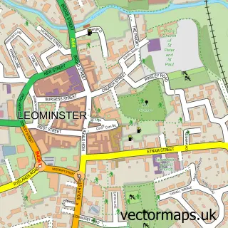

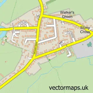
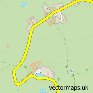
More street maps in Herefordshire
750 metre map area coverage
Boundary, postcode and point of interest information for the 750m x 750m rectangle centred on this sample map.
Boundaries containing map centre
Constituency: North Herefordshire Co Const
District: County of Herefordshire
Icb: NHS Herefordshire and Worcestershire ICB
Parish: Bodenham CP
Police Force: west mercia
Postcode District: HR1
Postcode Sector: HR1 3
Ward: Hampton Ward
Nearby boundaries intersecting sample
No additional intersecting boundaries found.
Postcode coverage
POI category counts
Business Equipment And Supply: 2
Doctor: 2
Post Office: 2
Automotive Repair: 1
Beauty Salon: 1
Discount Store: 1
Family Practice: 1
Hair Salon: 1
Hospital: 1
Professional Services: 1
Sample points of interest
- Glyn's Car Valet Service
- Beauty with Charley
- Hereford Fork Lift Training
- Hfd Forklift Training
- Baches Bargain Warehouse
- Moor Court
- Trade2Care
- The Marches Surgery
- Hair Affair Two
- 24 NRG Group
- Bodenham Post Office
- Post Office
Create a larger editable map of Bodenham Moor
This sample shows only a 750 metre area. To create a larger map of Bodenham Moor, use our map builder to choose your own coverage area, add titles and download editable SVG, PDF and PNG files.
Create a custom map of Bodenham Moor