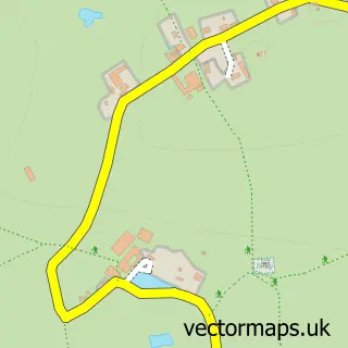
This Marden street map is a detailed vector street map covering a 750m x 750m area. Select a larger area to create and download your own vector street map of Marden.
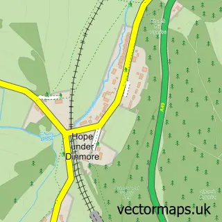
The 750-metre map sample for Marden covers 271 mapped buildings and approximately 30.1 km of road detail, of which 8 named roads are named. The immediate area includes 1 school and 1 MOT station within 2 miles. The wider area around Marden features 1 hotel and 1 campsite within 2 miles. To create a larger or custom map of Marden, the map builder lets you define your own coverage area and download editable SVG, PDF and PNG files.
Create a larger editable map of Marden
Choose any area you need and generate a high-quality vector map instantly. Perfect for print, planning, design, business and personal use.

This Marden street map in Herefordshire is available as downloadable SVG, PDF and PNG map files, or as a printed map for planning, business, display, education, local information and design work. You can also create a larger custom map area using the map selector.
What this Marden map sample shows
Marden lies within Marden Cp parish, part of Sutton Walls ward in the County Of Herefordshire local authority area. The postcode geography for this area includes the HR postcode area, the HR1 postcode district and the HR1 3 postcode sector. Residents fall under the Nhs Herefordshire And Worcestershire Integrated Care Board for NHS services.
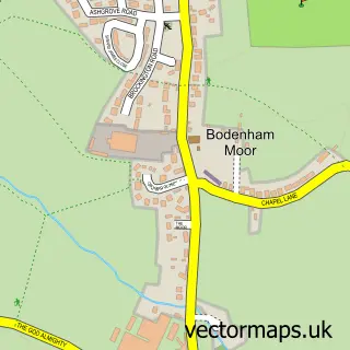
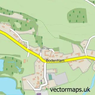
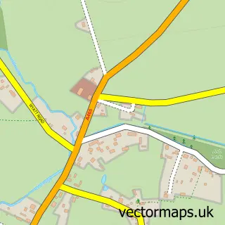
Local features near Marden
Within 2 milesAmenities and services in and around Marden.
Administrative and postcode information for Marden
Marden lies within Marden Cp parish, part of Sutton Walls ward in the County Of Herefordshire local authority area. The postcode geography for this area includes the HR postcode area, the HR1 postcode district and the HR1 3 postcode sector. Residents fall under the Nhs Herefordshire And Worcestershire Integrated Care Board for NHS services.
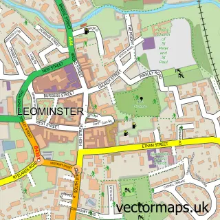
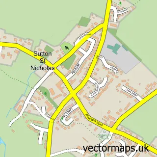
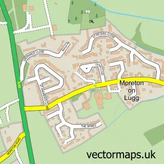
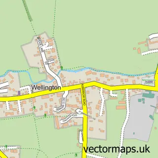
Nearby street map samples around Marden

More street maps in Herefordshire
750 metre map area coverage
Boundary, postcode and point of interest information for the 750m x 750m rectangle centred on this sample map.
Boundaries containing map centre
Constituency: North Herefordshire Co Const
District: County of Herefordshire
Icb: NHS Herefordshire and Worcestershire ICB
Parish: Marden CP
Police Force: west mercia
Postcode District: HR1
Postcode Sector: HR1 3
Ward: Sutton Walls Ward
Nearby boundaries intersecting sample
Parish: Wellington CP
Ward: Queenswood Ward
Postcode coverage
POI category counts
American Restaurant: 1
Beauty And Spa: 1
Caterer: 1
Convenience Store: 1
Elementary School: 1
Hotel: 1
Sports Club And League: 1
Sample points of interest
- Old Granary Pierogi Hereford
- Streets Hair Salon
- Galloping Gourmet Equine Supplies
- Marden Mini Market
- Marden Primary Academy
- Rose Villa Farm Holidays
- Marden Fusion Football Club
Create a larger editable map of Marden
This sample shows only a 750 metre area. To create a larger map of Marden, use our map builder to choose your own coverage area, add titles and download editable SVG, PDF and PNG files.
Create a custom map of Marden