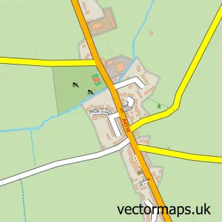
This Moreton on Lugg street map is a detailed vector street map covering a 750m x 750m area. Select a larger area to create and download your own vector street map of Moreton on Lugg.
The 750-metre map sample for Moreton on Lugg covers 249 mapped buildings and approximately 32.8 km of road detail, of which 8 named roads are named. The immediate area includes 1 MOT station within 2 miles. The wider area around Moreton on Lugg features 1 tourism point of interest and 1 campsite within 2 miles. To create a larger or custom map of Moreton on Lugg, the map builder lets you define your own coverage area and download editable SVG, PDF and PNG files.
Create a larger editable map of Moreton on Lugg
Choose any area you need and generate a high-quality vector map instantly. Perfect for print, planning, design, business and personal use.

This Moreton on Lugg street map in Herefordshire is available as downloadable SVG, PDF and PNG map files, or as a printed map for planning, business, display, education, local information and design work. You can also create a larger custom map area using the map selector.
What this Moreton on Lugg map sample shows
Moreton on Lugg lies within Moreton On Lugg Cp parish, part of Sutton Walls ward in the County Of Herefordshire local authority area. The postcode geography for this area includes the HR postcode area, the HR4 postcode district and the HR4 8 postcode sector. Residents fall under the Nhs Herefordshire And Worcestershire Integrated Care Board for NHS services.
Local features near Moreton on Lugg
Within 2 milesAmenities and services in and around Moreton on Lugg.
Administrative and postcode information for Moreton on Lugg
Moreton on Lugg lies within Moreton On Lugg Cp parish, part of Sutton Walls ward in the County Of Herefordshire local authority area. The postcode geography for this area includes the HR postcode area, the HR4 postcode district and the HR4 8 postcode sector. Residents fall under the Nhs Herefordshire And Worcestershire Integrated Care Board for NHS services.
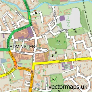
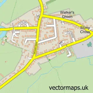
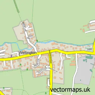
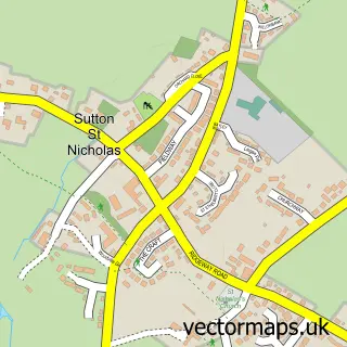
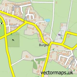
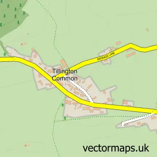
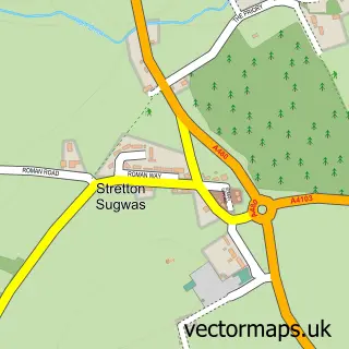
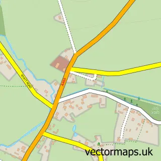
Nearby street map samples around Moreton on Lugg

More street maps in Herefordshire
750 metre map area coverage
Boundary, postcode and point of interest information for the 750m x 750m rectangle centred on this sample map.
Boundaries containing map centre
Constituency: North Herefordshire Co Const
District: County of Herefordshire
Icb: NHS Herefordshire and Worcestershire ICB
Parish: Moreton on Lugg CP
Police Force: west mercia
Postcode District: HR4
Postcode Sector: HR4 8
Ward: Sutton Walls Ward
Nearby boundaries intersecting sample
Parish: Pipe and Lyde CP
Ward: Queenswood Ward
Postcode coverage
POI category counts
Anglican Church: 1
Bar: 1
Campground: 1
Convenience Store: 1
Fish And Chips Restaurant: 1
Glass And Mirror Sales Service: 1
Package Locker: 1
Pet Store: 1
Professional Services: 1
Shipping Center: 1
Sample points of interest
- Moreton-on-Lugg: St Andrew
- The Lugg Hole
- Cuckoo's Corner Campsite
- Premier
- The Fish House
- Birches Double Glazing Repairs
- InPost
- Paw Potions By Moogin
- Deborah Linton Photography
- Post Office
- Challenge Community Church Hereford
Create a larger editable map of Moreton on Lugg
This sample shows only a 750 metre area. To create a larger map of Moreton on Lugg, use our map builder to choose your own coverage area, add titles and download editable SVG, PDF and PNG files.
Create a custom map of Moreton on Lugg