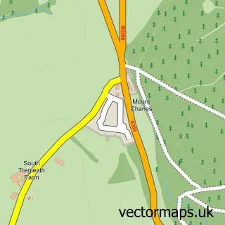
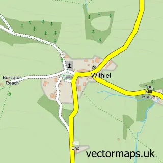
This Bodmin street map is a detailed vector street map covering a 750m x 750m area. Select a larger area to create and download your own vector street map of Bodmin.
The 750-metre map sample for Bodmin covers 384 mapped buildings and approximately 18.7 km of road detail, of which 36 named roads are named. The immediate area includes 1 school, 1 GP surgery, 9 pubs and 10 MOT stations within 2 miles. The wider area around Bodmin features 18 food and drink venues and 2 hotels. To create a larger or custom map of Bodmin, the map builder lets you define your own coverage area and download editable SVG, PDF and PNG files.
Create a larger editable map of Bodmin
Choose any area you need and generate a high-quality vector map instantly. Perfect for print, planning, design, business and personal use.

This Bodmin street map in Cornwall is available as downloadable SVG, PDF and PNG map files, or as a printed map for planning, business, display, education, local information and design work. You can also create a larger custom map area using the map selector.
What this Bodmin map sample shows
Bodmin lies within Bodmin Cp parish, part of Bodmin St Leonard ward in the Cornwall local authority area. The postcode geography for this area includes the PL postcode area, the PL31 postcode district and the PL31 1 postcode sector. Residents fall under the Nhs Cornwall And The Isles Of Scilly Integrated Care Board for NHS services.
Local features near Bodmin
Within 2 milesAmenities and services in and around Bodmin.
Administrative and postcode information for Bodmin
Bodmin lies within Bodmin Cp parish, part of Bodmin St Leonard ward in the Cornwall local authority area. The postcode geography for this area includes the PL postcode area, the PL31 postcode district and the PL31 1 postcode sector. Residents fall under the Nhs Cornwall And The Isles Of Scilly Integrated Care Board for NHS services.
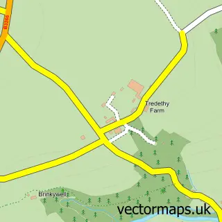
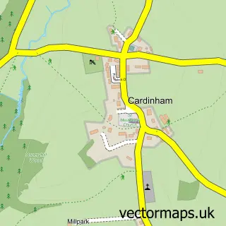
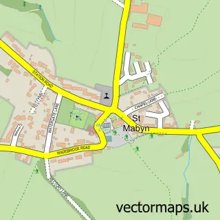
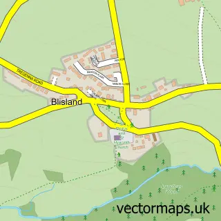
Nearby street map samples around Bodmin

More street maps in Cornwall
750 metre map area coverage
Boundary, postcode and point of interest information for the 750m x 750m rectangle centred on this sample map.
Boundaries containing map centre
Constituency: North Cornwall Co Const
District: Cornwall
Icb: NHS Cornwall and the Isles of Scilly ICB
Parish: Bodmin CP
Police Force: devon and cornwall
Postcode District: PL31
Postcode Sector: PL31 1
Nearby boundaries intersecting sample
Postcode Sector: PL31 2
Postcode coverage
POI category counts
Pub: 9
Beauty Salon: 7
Doctor: 7
Charity Organization: 6
Hair Salon: 6
Professional Services: 6
Banks: 5
Coffee Shop: 5
Bank Credit Union: 4
Real Estate Agent: 4
Sample points of interest
- PFA Research
- Bristol Airport
- Bodmin ambulance station
- Miller Countrywide Lettings
- HBH Woolacotts (Bodmin)
- Big Little Store
- Stable Art
- Beacon Garage
- Motor World
- Malcolm Barnecutt Bakery
- The Oggy Oggy Cornish Pasty Company
- Bodmin Banking Hub
Create a larger editable map of Bodmin
This sample shows only a 750 metre area. To create a larger map of Bodmin, use our map builder to choose your own coverage area, add titles and download editable SVG, PDF and PNG files.
Create a custom map of Bodmin