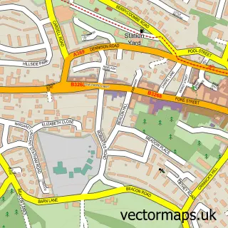
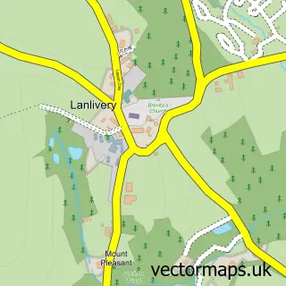
This Lanivet street map is a detailed vector street map covering a 750m x 750m area. Select a larger area to create and download your own vector street map of Lanivet.
The 750-metre map sample for Lanivet covers 225 mapped buildings and approximately 10.7 km of road detail, of which 10 named roads are named. The immediate area includes 1 school, 1 pub and 2 MOT stations within 2 miles. The wider area around Lanivet features 2 tourism points of interest, 1 food and drink venue and 2 campsites within 2 miles. To create a larger or custom map of Lanivet, the map builder lets you define your own coverage area and download editable SVG, PDF and PNG files.
Create a larger editable map of Lanivet
Choose any area you need and generate a high-quality vector map instantly. Perfect for print, planning, design, business and personal use.

This Lanivet street map in Cornwall is available as downloadable SVG, PDF and PNG map files, or as a printed map for planning, business, display, education, local information and design work. You can also create a larger custom map area using the map selector.
What this Lanivet map sample shows
Lanivet lies within Lanivet Cp parish, part of Lanivet And Blisland ward in the Cornwall local authority area. The postcode geography for this area includes the PL postcode area, the PL30 postcode district and the PL30 5 postcode sector. Residents fall under the Nhs Cornwall And The Isles Of Scilly Integrated Care Board for NHS services.
Local features near Lanivet
Within 2 milesAmenities and services in and around Lanivet.
Administrative and postcode information for Lanivet
Lanivet lies within Lanivet Cp parish, part of Lanivet And Blisland ward in the Cornwall local authority area. The postcode geography for this area includes the PL postcode area, the PL30 postcode district and the PL30 5 postcode sector. Residents fall under the Nhs Cornwall And The Isles Of Scilly Integrated Care Board for NHS services.
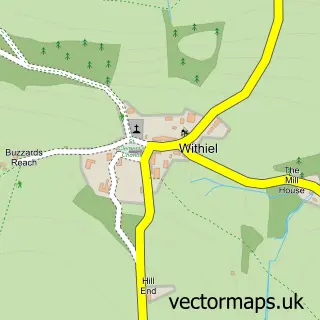
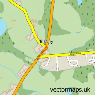
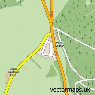
Nearby street map samples around Lanivet


More street maps in Cornwall
750 metre map area coverage
Boundary, postcode and point of interest information for the 750m x 750m rectangle centred on this sample map.
Boundaries containing map centre
Constituency: North Cornwall Co Const
District: Cornwall
Icb: NHS Cornwall and the Isles of Scilly ICB
Parish: Lanivet CP
Police Force: devon and cornwall
Postcode District: PL30
Postcode Sector: PL30 5
Nearby boundaries intersecting sample
No additional intersecting boundaries found.
Postcode coverage
POI category counts
Books Mags Music And Video: 2
Church Cathedral: 2
Convenience Store: 2
Education: 2
Fast Food Restaurant: 2
Assisted Living Facility: 1
Bakery: 1
Beauty And Spa: 1
Business: 1
Campground: 1
Sample points of interest
- Clann House Residential Home
- The Cake Loft
- KG Hair
- Lanivet Post Office
- Post Office-Lanivet
- D A Thomas & Son Ltd
- Kernow Caravan Park
- Gunwen Methodist Church
- Lanivet Parish Church
- Lanivet Parish Community Centre
- SPAR
- SPAR
Create a larger editable map of Lanivet
This sample shows only a 750 metre area. To create a larger map of Lanivet, use our map builder to choose your own coverage area, add titles and download editable SVG, PDF and PNG files.
Create a custom map of Lanivet