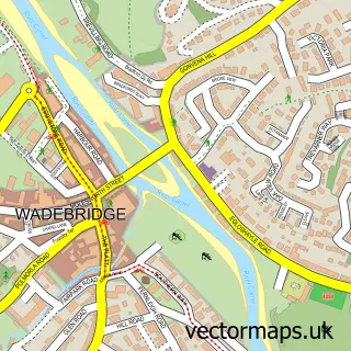
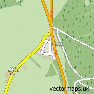
This St Mabyn street map is a detailed vector street map covering a 750m x 750m area. Select a larger area to create and download your own vector street map of St Mabyn.
The 750-metre map sample for St Mabyn covers 178 mapped buildings and approximately 12.1 km of road detail, of which 8 named roads are named. The immediate area includes 1 school, 1 pub and 1 MOT station within 2 miles. The wider area around St Mabyn features 1 food and drink venue and 1 campsite within 2 miles. To create a larger or custom map of St Mabyn, the map builder lets you define your own coverage area and download editable SVG, PDF and PNG files.
Create a larger editable map of St Mabyn
Choose any area you need and generate a high-quality vector map instantly. Perfect for print, planning, design, business and personal use.

This St Mabyn street map in Cornwall is available as downloadable SVG, PDF and PNG map files, or as a printed map for planning, business, display, education, local information and design work. You can also create a larger custom map area using the map selector.
What this St Mabyn map sample shows
St Mabyn lies within St. Mabyn Cp parish, part of St Issey And St Tudy ward in the Cornwall local authority area. The postcode geography for this area includes the PL postcode area, the PL30 postcode district and the PL30 3 postcode sector. Residents fall under the Nhs Cornwall And The Isles Of Scilly Integrated Care Board for NHS services.
Local features near St Mabyn
Within 2 milesAmenities and services in and around St Mabyn.
Administrative and postcode information for St Mabyn
The local authority covering St Mabyn is Cornwall, within the county of Cornwall. The settlement lies within St Issey And St Tudy ward and St. Mabyn Cp civil parish. The PL30 postcode district and PL30 3 postcode sector serve the immediate area. NHS provision in the area is delivered through Royal Cornwall Hospitals Nhs Trust.
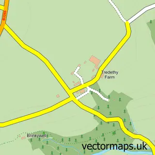
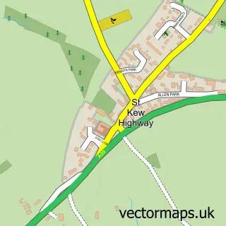
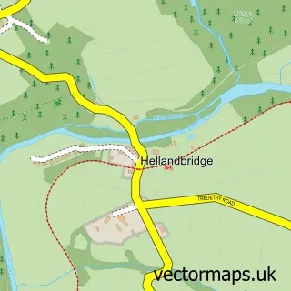
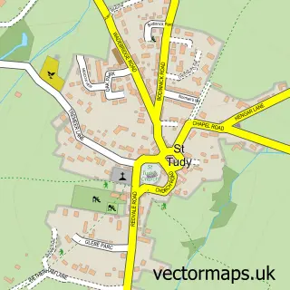
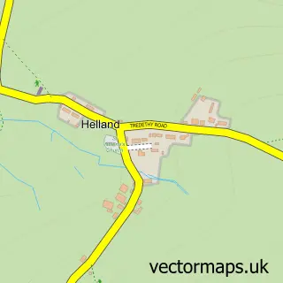
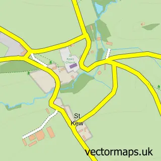
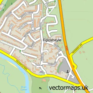
Nearby street map samples around St Mabyn

More street maps in Cornwall
750 metre map area coverage
Boundary, postcode and point of interest information for the 750m x 750m rectangle centred on this sample map.
Boundaries containing map centre
Constituency: North Cornwall Co Const
District: Cornwall
Icb: NHS Cornwall and the Isles of Scilly ICB
Parish: St. Mabyn CP
Police Force: devon and cornwall
Postcode District: PL30
Postcode Sector: PL30 3
Nearby boundaries intersecting sample
No additional intersecting boundaries found.
Postcode coverage
POI category counts
Elementary School: 2
Anglican Church: 1
Arts And Crafts: 1
Auto Detailing: 1
Business: 1
Church Cathedral: 1
Education: 1
Hvac Services: 1
Naturopathic Holistic: 1
Professional Services: 1
Sample points of interest
- St Mabyn: St Mabena
- Andy Titcomb
- Elite Auto & Marine
- Elklan Training
- St Mabyn Parish Church
- St Mabyn C of E V a School
- St Mabyn C of E Primary School
- St Mabyn Church of England Primary School
- Kelletts Heating
- The Blue Butterfly
- Pendlebury Consulting
- St Mabyn Inn
Create a larger editable map of St Mabyn
This sample shows only a 750 metre area. To create a larger map of St Mabyn, use our map builder to choose your own coverage area, add titles and download editable SVG, PDF and PNG files.
Create a custom map of St Mabyn