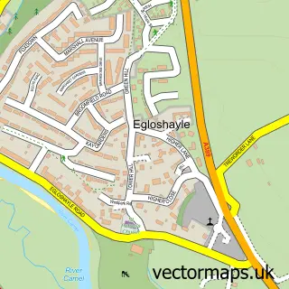
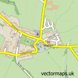
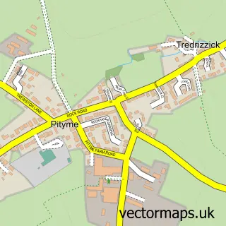
This Wadebridge street map is a detailed vector street map covering a 750m x 750m area. Select a larger area to create and download your own vector street map of Wadebridge.
The 750-metre map sample for Wadebridge covers 443 mapped buildings and approximately 19.4 km of road detail, of which 46 named roads are named. The immediate area includes 1 GP surgery, 9 pubs and 1 MOT station, with 5 within 2 miles. The wider area around Wadebridge features 5 tourism points of interest, 31 food and drink venues and 2 hotels. To create a larger or custom map of Wadebridge, the map builder lets you define your own coverage area and download editable SVG, PDF and PNG files.
Create a larger editable map of Wadebridge
Choose any area you need and generate a high-quality vector map instantly. Perfect for print, planning, design, business and personal use.

This Wadebridge street map in Cornwall is available as downloadable SVG, PDF and PNG map files, or as a printed map for planning, business, display, education, local information and design work. You can also create a larger custom map area using the map selector.
What this Wadebridge map sample shows
Wadebridge lies within Wadebridge Cp parish, part of Wadebridge West ward in the Cornwall local authority area. The postcode geography for this area includes the PL postcode area, the PL27 postcode district and the PL27 7 postcode sector. Residents fall under the Nhs Cornwall And The Isles Of Scilly Integrated Care Board for NHS services.
Local features near Wadebridge
Within 2 milesAmenities and services in and around Wadebridge.
Administrative and postcode information for Wadebridge
Wadebridge lies within Wadebridge Cp parish, part of Wadebridge West ward in the Cornwall local authority area. The postcode geography for this area includes the PL postcode area, the PL27 postcode district and the PL27 7 postcode sector. Residents fall under the Nhs Cornwall And The Isles Of Scilly Integrated Care Board for NHS services.
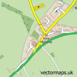
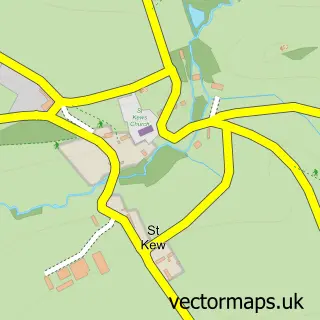
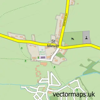
Nearby street map samples around Wadebridge

More street maps in Cornwall
750 metre map area coverage
Boundary, postcode and point of interest information for the 750m x 750m rectangle centred on this sample map.
Boundaries containing map centre
Constituency: North Cornwall Co Const
District: Cornwall
Icb: NHS Cornwall and the Isles of Scilly ICB
Parish: Wadebridge CP
Police Force: devon and cornwall
Postcode District: PL27
Postcode Sector: PL27 7
Nearby boundaries intersecting sample
Postcode Sector: PL27 6
Postcode coverage
POI category counts
Beauty Salon: 9
Cafe: 9
Professional Services: 9
Pub: 9
Real Estate Agent: 9
Art Gallery: 8
Restaurant: 8
Accountant: 7
Automotive Repair: 7
Flowers And Gifts Shop: 7
Sample points of interest
- Brooks and Jeal Chartered Accountants
- Collins & Russell
- Elston DV and Co
- P C Moore Accountants
- Reken Integrated Accountants
- TH Accounting Software
- Trudgeon Halling Chartered Accountants
- Malcolm Retallick
- Route 39 Diner
- Acorn Antique Interiors
- Victoria Antiques
- Wadebridge Antique Centre
Create a larger editable map of Wadebridge
This sample shows only a 750 metre area. To create a larger map of Wadebridge, use our map builder to choose your own coverage area, add titles and download editable SVG, PDF and PNG files.
Create a custom map of Wadebridge