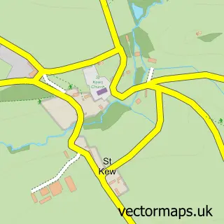
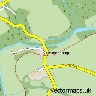
This St Kew Highway street map is a detailed vector street map covering a 750m x 750m area. Select a larger area to create and download your own vector street map of St Kew Highway.
The 750-metre map sample for St Kew Highway covers 153 mapped buildings and approximately 10.6 km of road detail, of which 4 named roads are named. The immediate area includes 1 pub and 1 MOT station. The wider area around St Kew Highway features 1 food and drink venue, 1 hotel and 2 campsites within 2 miles. To create a larger or custom map of St Kew Highway, the map builder lets you define your own coverage area and download editable SVG, PDF and PNG files.
Create a larger editable map of St Kew Highway
Choose any area you need and generate a high-quality vector map instantly. Perfect for print, planning, design, business and personal use.

This St Kew Highway street map in Cornwall is available as downloadable SVG, PDF and PNG map files, or as a printed map for planning, business, display, education, local information and design work. You can also create a larger custom map area using the map selector.
What this St Kew Highway map sample shows
St Kew Highway lies within St. Kew Cp parish, part of Wadebridge East ward in the Cornwall local authority area. The postcode geography for this area includes the PL postcode area, the PL30 postcode district and the PL30 3 postcode sector. Residents fall under the Nhs Cornwall And The Isles Of Scilly Integrated Care Board for NHS services.
Local features near St Kew Highway
Within 2 milesAmenities and services in and around St Kew Highway.
Administrative and postcode information for St Kew Highway
St Kew Highway lies within St. Kew Cp parish, part of Wadebridge East ward in the Cornwall local authority area. The postcode geography for this area includes the PL postcode area, the PL30 postcode district and the PL30 3 postcode sector. Residents fall under the Nhs Cornwall And The Isles Of Scilly Integrated Care Board for NHS services.
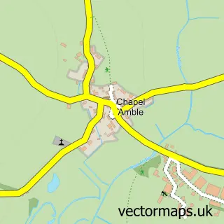
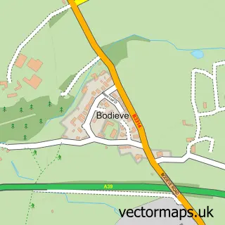
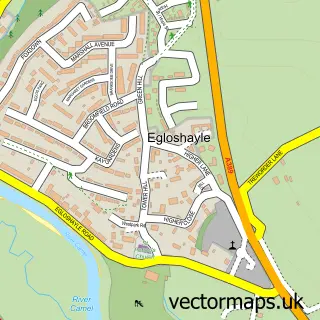
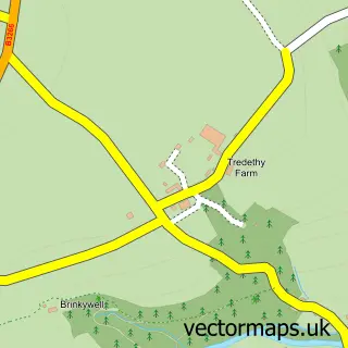
Nearby street map samples around St Kew Highway

More street maps in Cornwall
750 metre map area coverage
Boundary, postcode and point of interest information for the 750m x 750m rectangle centred on this sample map.
Boundaries containing map centre
Constituency: North Cornwall Co Const
District: Cornwall
Icb: NHS Cornwall and the Isles of Scilly ICB
Parish: St. Kew CP
Police Force: devon and cornwall
Postcode District: PL30
Postcode Sector: PL30 3
Nearby boundaries intersecting sample
No additional intersecting boundaries found.
Postcode coverage
POI category counts
Convenience Store: 3
Gas Station: 3
Accountant: 1
Automotive Repair: 1
Beauty Salon: 1
Community Center: 1
Cottage: 1
Doctor: 1
Grocery Store: 1
Hotel: 1
Sample points of interest
- St. Kew Accountancy
- Autotec St Kew Highway Ltd
- Beards and Babes
- St Kew Highway Community Hall
- Asda St. Kews Express Petrol
- SPAR
- SPAR Euro Garage St. Kew
- November Cottage
- Port Isaac Practice
- ESSO ASDA St Kew Services
- ESSO Station
- Esso
Create a larger editable map of St Kew Highway
This sample shows only a 750 metre area. To create a larger map of St Kew Highway, use our map builder to choose your own coverage area, add titles and download editable SVG, PDF and PNG files.
Create a custom map of St Kew Highway